

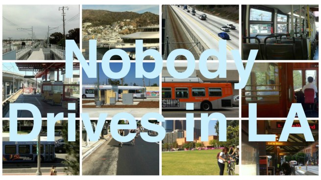
With bicycles, buses, ferries, planes, rideshares, sidewalks, subways, taxis, and trains at Angelenos’ disposal, why would any sane person choose car-dependency? Nobody Drives in LA celebrates sense and sensibility in transportation.
*****
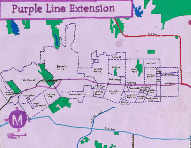
The prospect of more rail transit excites me greatly, and so far I’ve explored the future courses of the Expo, Gold, and Crenshaw lines. While I’ve long looked forward to the extension of the subway to the Westside, its slow pace has more than anything left me frustrated. However, as no planned local rail line has enflamed more passions than the appropriately-named Purple Line, I decided to set my sights on the more distant future and explore its planned course.
Although it’s possible (and hoped by many) that construction of the Purple Line Extension will be completed ahead of schedule, the subway is currently expected to reach the Westside VA in 2035. When we look at the timeline for light rail projects, we imagine a world similar to the one we live in now, albeit with improved public transit. On the other hand when we imagine 2035, most of us imagine a far different world — 2035, tellingly, is the setting for both Twelve Monkeys and I, Robot. Will we even live to see the subway reach the sea?
Assuming that by 2035 rising sea levels haven’t transformed the Gold Line into the “subway to the sea” or that some sort of apocalypse hasn’t erased everything we know that currently exists along its path, I decided to gather up my patience and explore the Purple Line’s planned course to get an idea of some of the attractions that will hopefully remain and be accessible by train.
In the meantime, hopefully this guide will encourage people to not wait for 2035 to get out. After all, the 720 bus travels almost the same path as the Purple Line will — albeit above-ground — and connects downtown and the ocean in about 50 minutes. If your enthusiasm for the so-called “subway to the sea” more reflects your desire to take a train to a nearby beach than check out the attractions along Wilshire Boulevard, then please note that the Blue Line takes passengers .8 kilometers from beachfront San Pedro Bay, Metrolink‘s Orange County and Inland Empire/Orange County lines practically drop riders off in the waters off San Clemente and Oceanside, and the Expo Line will do the same to the Santa Monica Bay in 2015. Furthermore, for those willing and able to walk 4.5 (or catch a connecting bus), there are the South Bay stations of the Green Line. If you’re willing to take a bus, in fact, you have options.
Construction of Los Angeles’ current subway system began in 1986 (an earlier subway was built by Pacific Electric Railway between 1924 and 1925). Service to the first stations began in 1993 as the Red Line. The branch that connects Downtown to Koreatown opened in 1996, and was rechristened the Purple Line in 2006. Since 2000 there has been no further subway construction. As of June 2013, it had a daily average ridership of 158,429 people (no data is available for what percentage of those on the Purple Line were confused tourists trying to find the not-in-Hollywood Universal Studios Hollywood).
The Purple and Red Lines both stop at Union Station, Civic Center, 7th Street/Metro, Westlake/MacArthur Park, and Wilshire/Vermont stations before their paths separate. The Red Line continues north to the San Fernando Valley (where tourists will find Universal Studios), whereas a short, vestigial section of the Purple Line nicknamed “the Tail” continues west, stopping at Wilshire/Normandie Station and finally, at Wilshire/Western.
The fact that the Purple Line ends where it does is usually blamed on isolationist NIMBYs and their political allies, although it faced additional obstacles from the decidedly pro-transit Bus Riders Union, preservationists, prehistoric fossils, seeping methane, earthquake faults, and more. It seems to me as if those hurdles could more easily be leapt over by light rail rather than tunneled beneath by subway, but Metro is going with the latter.
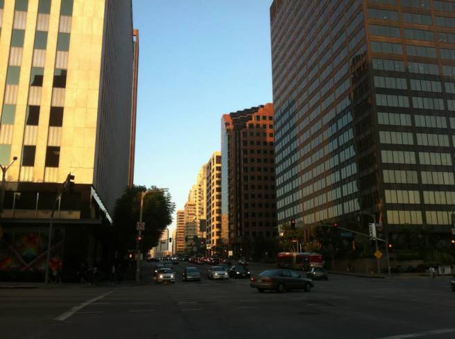
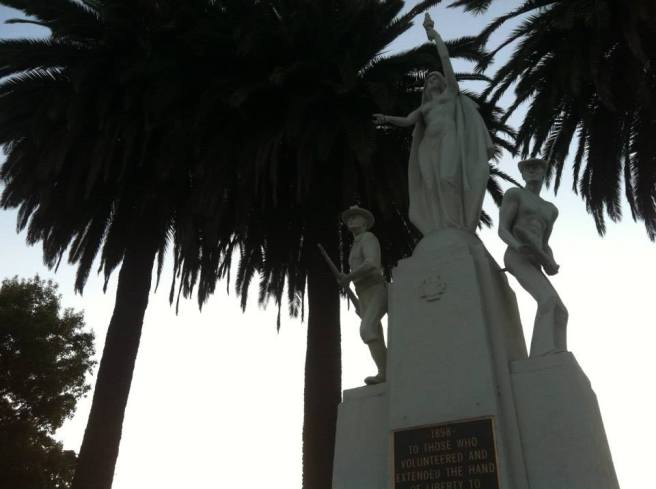
In the rail race to the Westside, the Expo Line will likely precede the Purple Line by 20 years. As a light rail train it will offer riders a view, sense of connectedness to the communities through which it will pass, fresh air, and phone reception. When the Purple Line finally reaches the VA, it will offer a faster trip (connecting Downtown Los Angeles and Westwood in 25 minutes) and will stop 6.1 kilometers from the coast. Unable to burrow along its path, I instead opted to walk along surface streets for my exploration.
PHASE I: 2014 – 2023
At 6.3 kilometers, Phase I of the Purple Line Extension is the longest stretch and construction is set to begin in 2014 and end in 2023. It will connect the train’s current western terminus and Beverly Hills.
PARK MILE
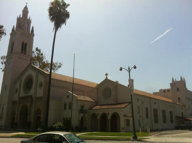
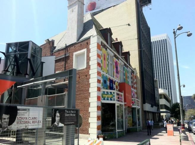
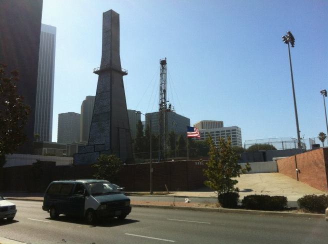
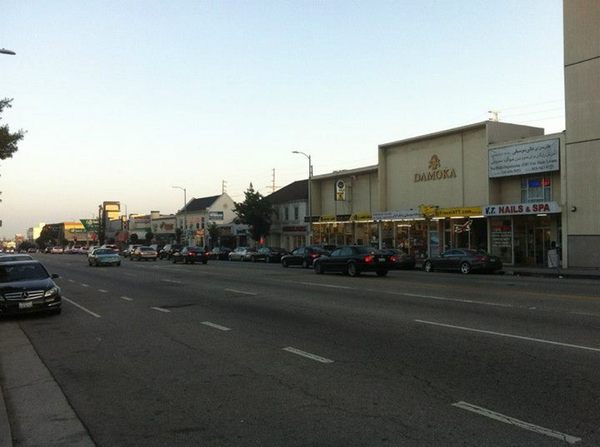
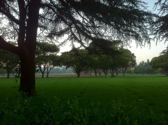
Currently the Purple Line ends near Koreatown’s western edge. West of the bustling neighborhood, things quickly thin out in a stretch of Wilshire Boulevard known as Park Mile. In contrast to its neighbors on either end, Park Mile passes through low-density/low-profile neighborhoods like Windsor Square, Hancock Park, Brookside, Windsor Village, Sycamore Square, and the gated community of Fremont Place. There are a few obvious attractions, such as the Wilshire Ebell Theatre, but most subway travelers will find more of interest elsewhere.
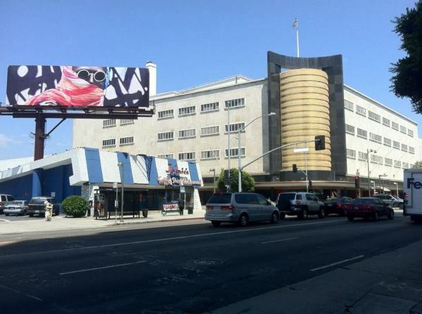
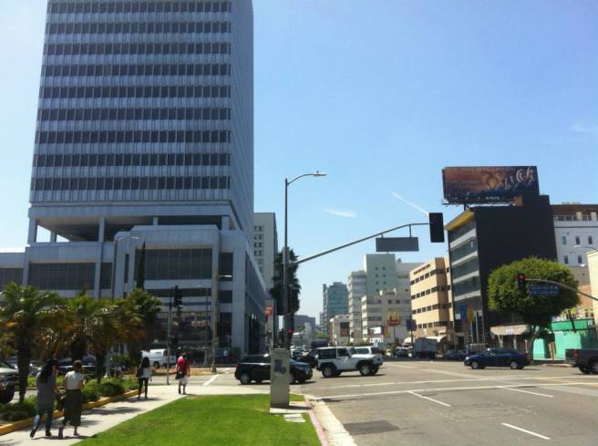
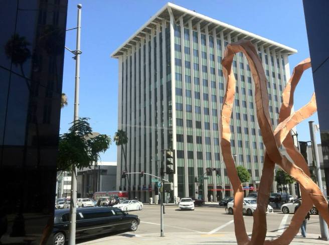
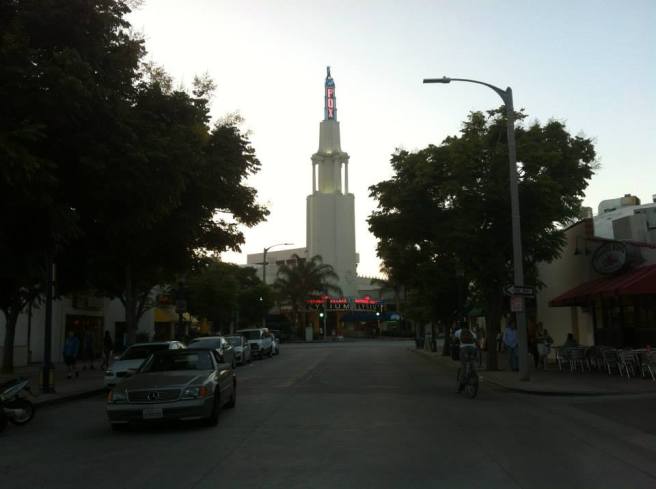
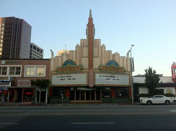
WILSHIRE/LA BREA STATION
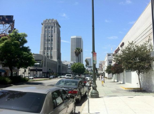
Wilshire/La Brea Station will be constructed at the northwest corner of the intersection, where the Metro Customer Service Center is located (in a building that opened in 1949 as Tilford’s restaurant). This marks the eastern end of Miracle Mile, developed as a shopping district to rival downtown Los Angeles, but now known more for its museums and Art Deco architecture.
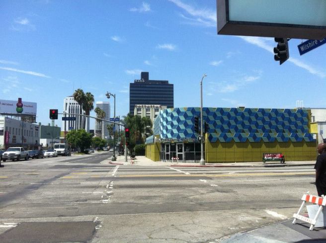
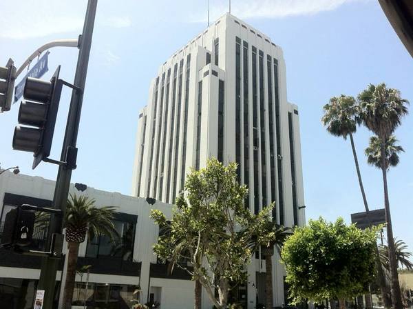
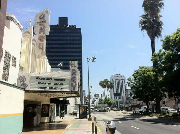
In the immediate vicinity of the future station, there are several fine Art Deco buildings, such as the old Four Star Theatre, the Deco Building — a black and gold building designed by the same firm behind the Richfield Tower — and the E. Clem Wilson Building which, upon its construction in 1929, was tallest commercial building in the city. A Streamline Moderne Firestone service station built in 1937 is located just a little to the south. Further west on Miracle Mile, there are even more Deco gems — most of them formerly home to long-defunct department stores. The area is also home to the Korean Cultural Center, the El Rey Theatre, and Yuko Kitchen — all very much worth a visit.
WILSHIRE/FAIRFAX STATION
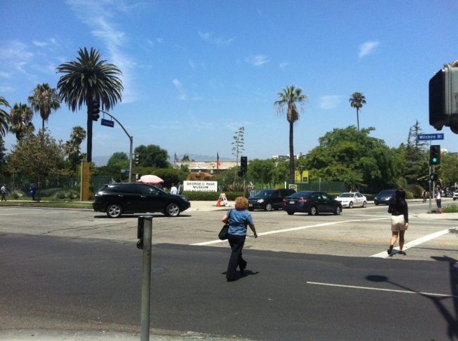
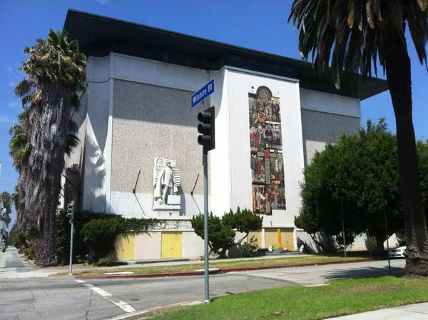
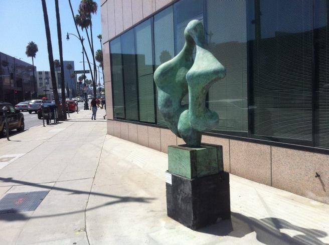
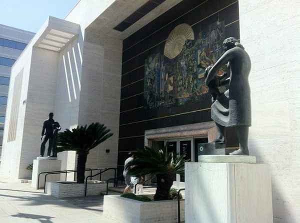
The intersection of Wilshire and Fairfax will, hopefully, by the time of the subway’s construction, be designated Biggie Smalls Square, or something along those lines as this is the intersection where the rapper was killed in 1997 after attending a function at the Petersen Automotive Museum, one of the institutions of this section of Wilshire, known as Museum Row. Other nearby museums include Los Angeles County Museum of Art (LACMA), the Craft and Folk Art Museum, the George C. Page Museum, Zimmer Children’s Museum, and the A+D Museum of Architecture and Design. Unfortunately the latter institution — whose current exhibition is “Never Built” — will be displaced by the slowly-built subway.
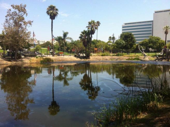
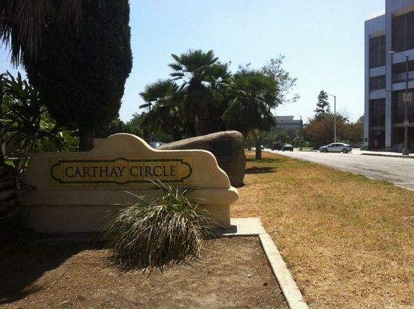
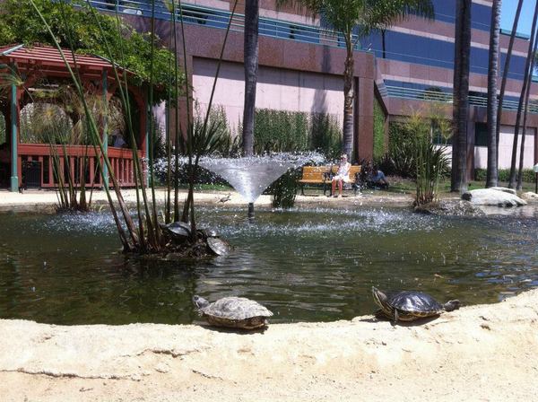
East of the station on Wilshire are the famous La Brea Tar Pits, the Goethe Institut, Wilshire Courtyard (as seen on Melrose Place), and behind it, a park called Wilshire Green, which includes a terrapin pond. West along Wilshire, between the Beverly Grove neighborhood to the north and Carthay Circle to the south, is a stretch or road dominated by medical offices, although there are a couple of large rocks whose plaques make clear that their presence in the area pre-dates the currently headline-hogging Levitated Mass by several decades.
A couple of blocks south of the future station is the tiniest of Los Angeles’s ethnic enclaves, Little Ethiopia. Just over a kilometer to the north is the Original Farmers Market, the Fairfax Village district (home to the Cinefamily‘s Silent Movie Theatre), Pan Pacific Park, and the Grove.
WILSHIRE/LA CIENEGA STATION
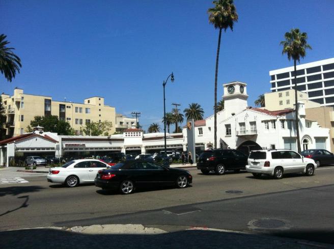
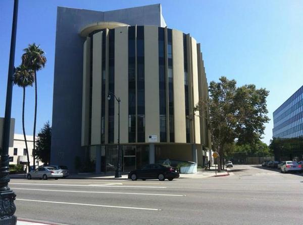
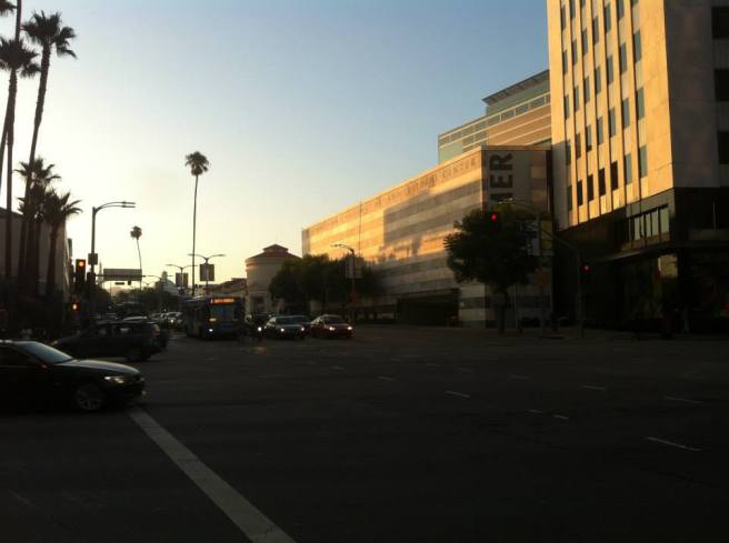
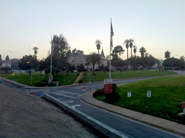
When completed, Wilshire/La Cienega Station will be the first train station in Beverly Hills since the demolition of old Southern Pacific and Pacific Electric depot, which stood at the corner of Canon Drive and Santa Monica Boulevard.
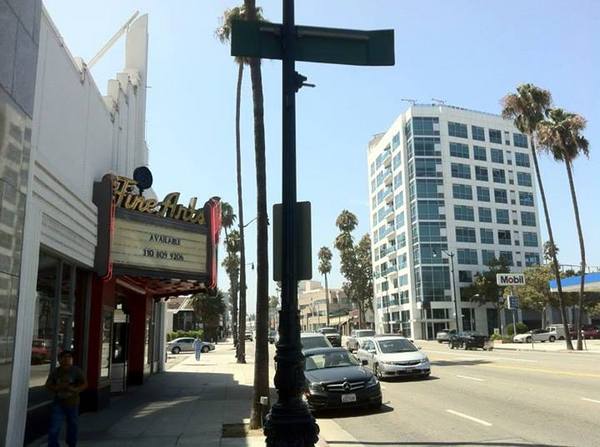
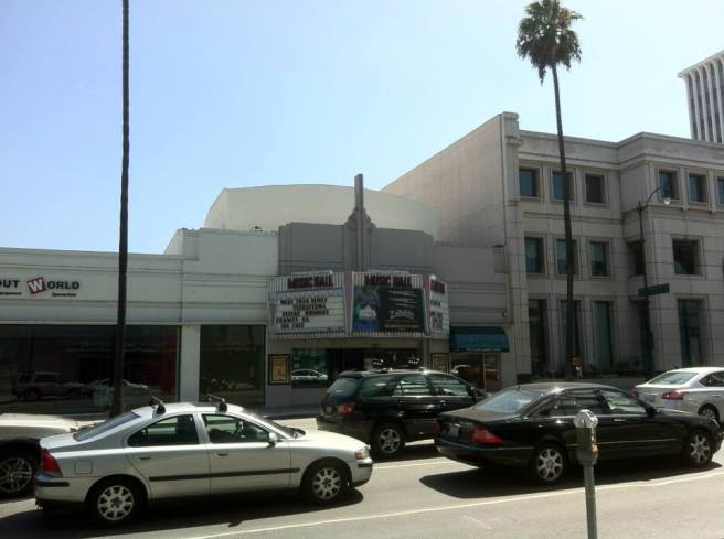
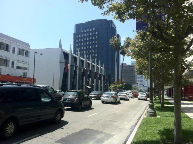
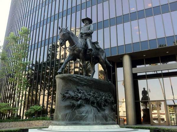
Despite the city’s reputation for wealth and exclusivity, the area around the future station offers visitors little more than the departed glamor of aging movie theaters and plastic surgery clinics. The nearby theaters of note include the Fine Arts Theatre (opened in 1937), the Music Hall Theatre (also opened in 1937), the Saban Theatre (opened in 1931), and the Academy of Motion Picture Arts and Sciences‘ Samuel Goldwyn Theatre. In front of the old Great Western Bank Tower there’s also a large bronze statue of actor John Wayne.
PHASE II: 2019 – 2026
Construction of approximately 4 kilometer Phase II of the Purple Line Extension is scheduled to take place between 2019 and 2026. If all goes according to plan, this will be the only section of the subway that diverts from its course beneath Wilshire Boulevard by tunneling under a residential section of Beverly Hills including, controversially, Beverly Hills High School.
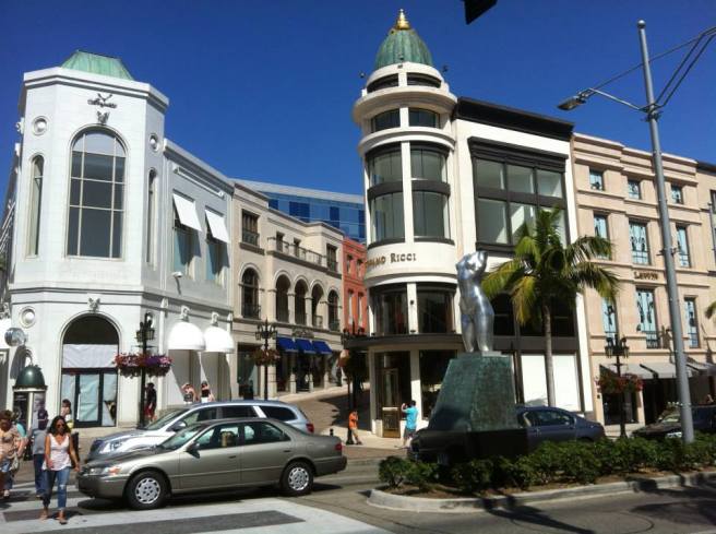
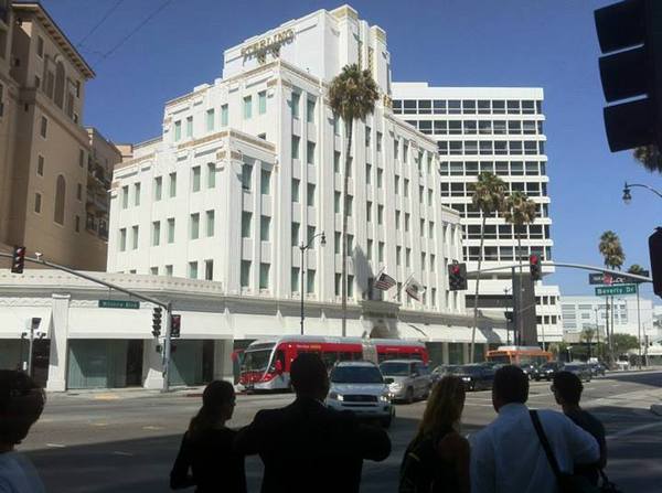
WILSHIRE/RODEO STATION
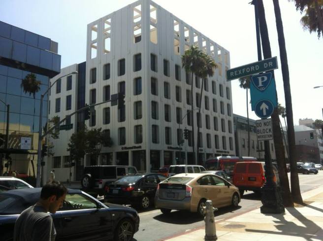
Wilshire/Rodeo Station will be constructed near Beverly Hills’ “Golden Triangle,” a touristy neighborhood sadly deprived of passenger rail since the Beverly Hills Line of the Pacific Electric Railway ended local service in 1954.
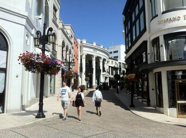
Near the future station is Via Rodeo, a kitschy, cobblestone-paved shopping street whose European pretensions suggest that it took its inspiration from Las Vegas, Downtown Disney, or maybe Huntington Beach‘s Old World Village. After the train station’s construction, the only thing missing will be a water fountain show. Although sold as an area dominated by the rich and famous, the majority of visitors seem to be tourists from China. Mandarin, Farsi, and honking car horns all seem to vie for status as the area’s lingua franca.
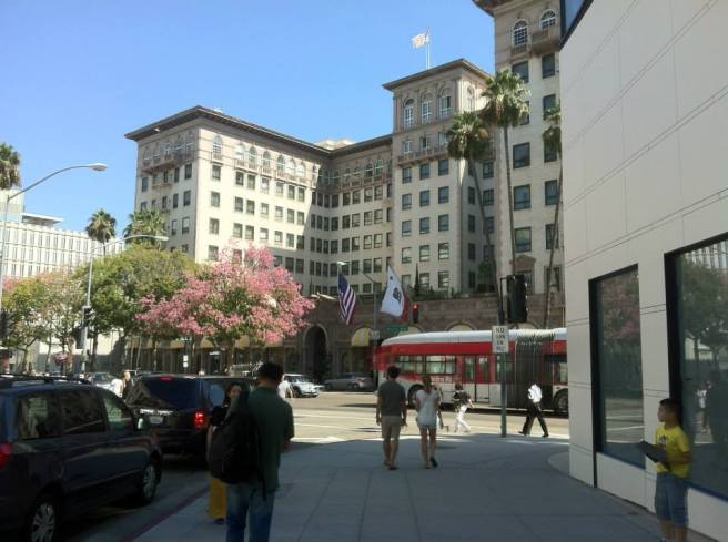
There are also numerous banks in the area, the most interesting of which is a Chase Bank that opened in 1953 as Beverly Hills Home Savings, and was the first such institution designed by Millard Sheets. Sterling Plaza, built in 1929, and the Beverly Wilshire Hotel, built in 1929, are two other lovely icons of a bygone era.
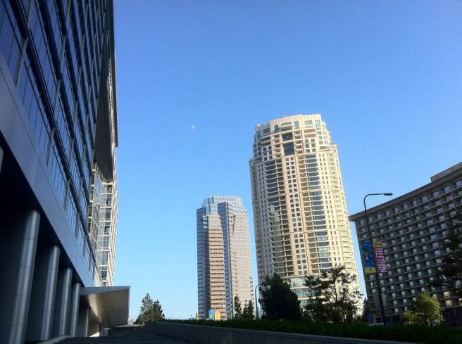
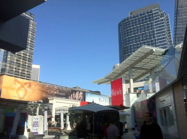
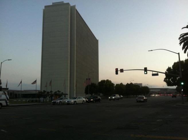
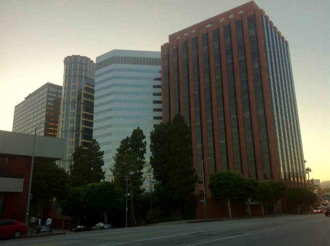
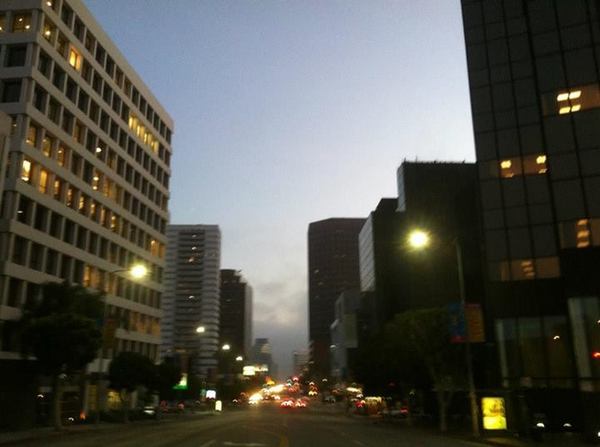
CENTURY CITY STATION
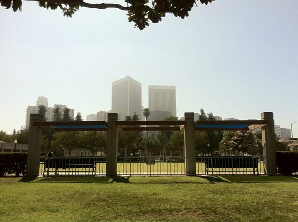
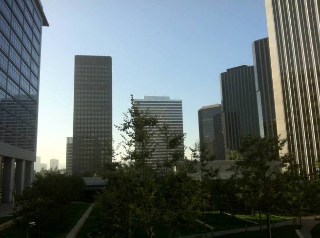
Century City Station will be built near the intersection of Constellation Boulevard and Avenue of the Stars. Century City is named after 20th Century Fox and I originally assumed that “the Stars” was a reference to the studio’s stable of actors. However, upon exploring the neighborhood and discovering futuristic and cosmically-named streets like Solar Way and Constellation Boulevard, I now think that the roadway’s aspirational associations are more interstellar than celluloid. In other words, the idea is less Hollywood Walk of Fame in Hollywood, more Modern Manor Trailer Court.
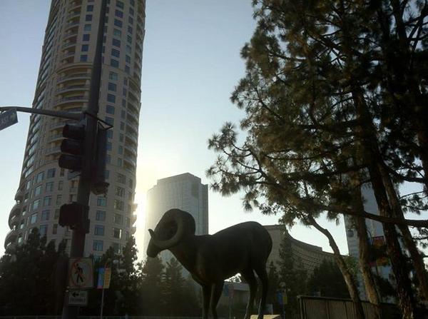
Although it feels rather like a 3-D rendering of a downtown more than an actual city center, there is charm to the unified metropolitan aesthetic that extends from the slightly bland, shiny, megalithic luxury skyscrapers, all the way down to the slightly bland, shiny, luxury cars that pass between.
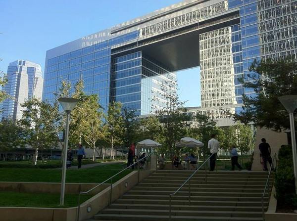
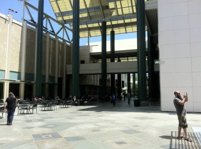
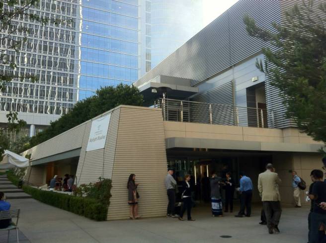
The nearby Annenberg Space for Photography often exhibits black and white photography, in keeping with the neighborhood’s neutral palette. It’s located on the edge of Century Park, a pleasant park nestled in the heart of a theme-park metropolis. Nearby to the east, in Beverly Hills, is Roxbury Memorial Park, a space that has lawn bowling and croquet lawn. A bit to the northwest is Westfield Century City Mall, which opened in 1964 as “Century Square Shopping Center.”
PHASE III
Construction of Phase III of the Purple Line Extension is planned to take place between 2027 and 2035. The roughly 4 kilometer stretch of train will traverse the Los Angeles neighborhood of Westwood, and include two subway stations.
WESTWOOD/UCLA STATION

The Purple Line will return to Wilshire after diverting away from the Golden Mile/Millionaire Mile section of Westwood’s Wilshire Corridor. The station will be built at the intersection of Wilshire and Westwood Boulevard, near the Hammer Museum, Westwood Park, the Los Angeles National Cemetery, Taiwan Academy in Los Angeles, and the Wilshire Federal Building — a site popular with protestors.
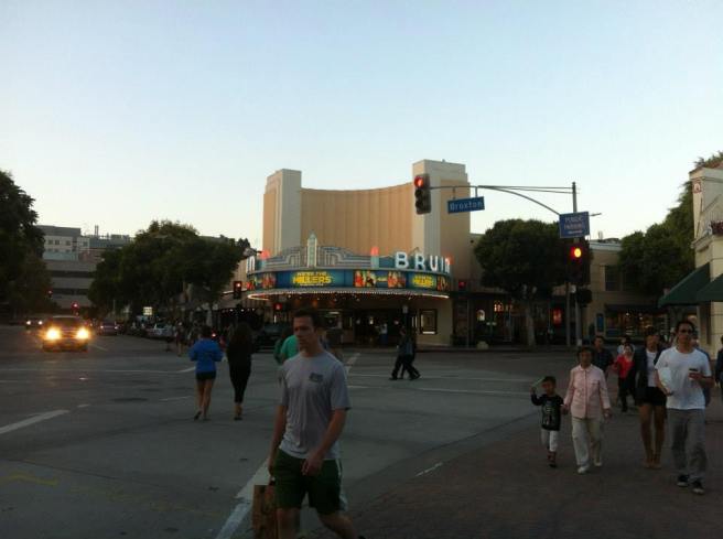
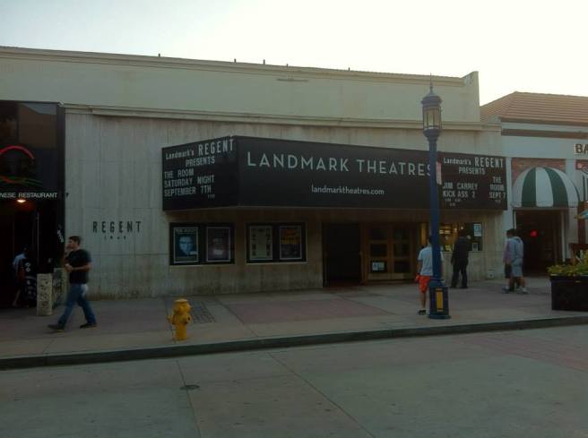
Just north of the future station is Westwood Village, an area that’s home to several theaters of note, including Bruin Theatre, Improv Space, the Regent Theatre, and Village Theatre. A bit further north of all that is the UCLA campus, home to several attractions, including the Freud Theater, Geffen Playhouse, Mildred E. Mathias Botanical Center, UCLA Planetarium, the Franklin D. Murphy Sculpture Garden, Fowler Museum, Royce Hall, and more.
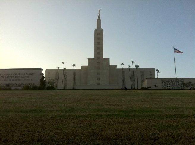
A little south of the station is an area dense with, but not limited to, Persian businesses and restaurants, known informally as Tehrangeles (or less commonly, “Little Persia”). Also of possible interest and located nearby are the Crest Theatre — which currently screens ballet and opera films — and Los Angeles Temple — at one time the largest temple of the LDS.
WESTWOOD/VA HOSPITAL STATION
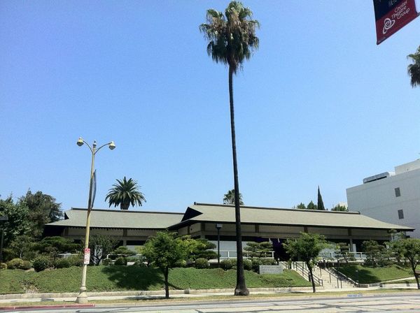
The Westwood/VA Hospital Station is set to be constructed at in intersection of Wilshire and Bonsall Avenue, on the campus of VA West Los Angeles Healthcare Center. The VA campus is home to the Los Angeles National Veterans Park and the VA’s Japanese Garden, as well as Wadsworth Chapel (the oldest building on Wilshire) and a streetcar depot (from the old Santa Monica Air Line), both built in 1900. The grounds are also home to the Brentwood and Wadsworth theatres — two performing arts venues (the latter also sometimes screens films). Less than a mile away, over on Santa Monica Boulevard, are two more movie theaters of note: Laemmle’s Royal Theatre and the Landmark Nuart Theatre. Just a bit further south is the neighborhood of Little Osaka — the Westside’s Japantown.
Heading west from the VA grounds, another downtown-like center comprised of dark, shiny towers rises up on the border of Brentwood and unincorporated Sawtelle. The 720 continues on down the road until it arrives ocean-side, but any further subway plans are little more than a dream as the “subway to the sea” will, for many years, more truly be a “subway to the VA” or, at best, “subway toward the sea.”
*****
Eric Brightwell is an adventurer, writer, rambler, explorer, cartographer, and guerrilla gardener who is always seeking writing, speaking, traveling, and art opportunities — or salaried work. He is not interested in writing advertorials, clickbait, listicles, or other 21st century variations of spam. Brightwell’s written work has appeared in Amoeblog, diaCRITICS, and KCET Departures. His work has been featured by the American Institute of Architects, the Architecture & Design Museum, the Craft & Folk Art Museum, Form Follows Function, Los Angeles County Store, Skid Row Housing Trust, and 1650 Gallery. Brightwell has been featured in the Los Angeles Times, Huffington Post, Los Angeles Magazine, LAist, Eastsider LA, Boing Boing, Los Angeles, I’m Yours, and on Notebook on Cities and Culture. He has been a guest speaker on KCRW‘s Which Way, LA? and at Emerson College. Art prints of his maps are available from 1650 Gallery and on other products from Cal31. He is currently writing a book about Los Angeles and you can follow him on Facebook, Instagram, and Twitter.
Click here to offer financial support and thank you!


6 thoughts on “Nobody Drives in LA — Exploring the Planned Course of the Metro Purple Line Extension”