Los Angeles’s “Official” Neighborhood Czar and Cartographer. Co-host of the podcast, Nobody Drives in LA
Pendersleigh & Sons Cartography
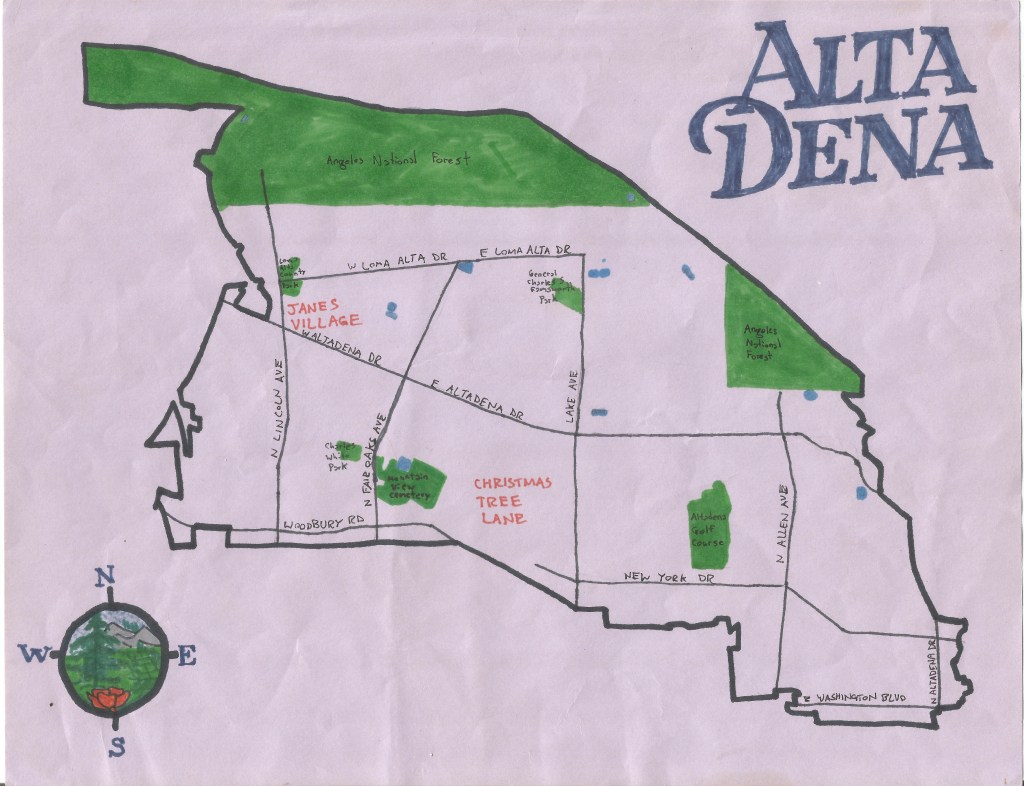
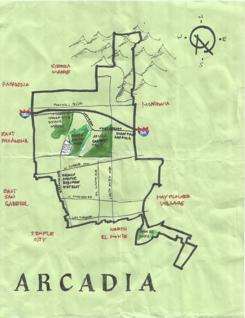
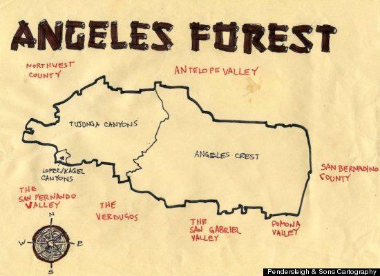
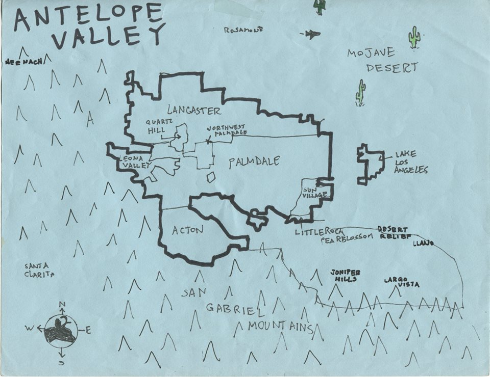
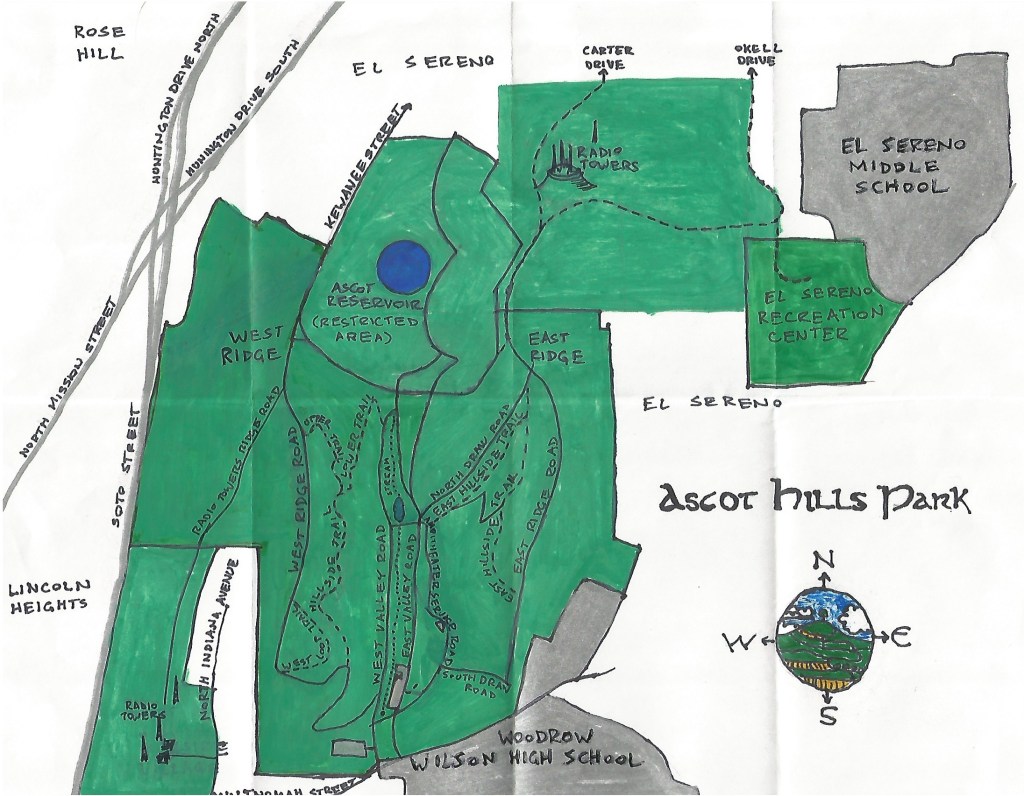
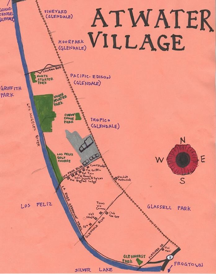
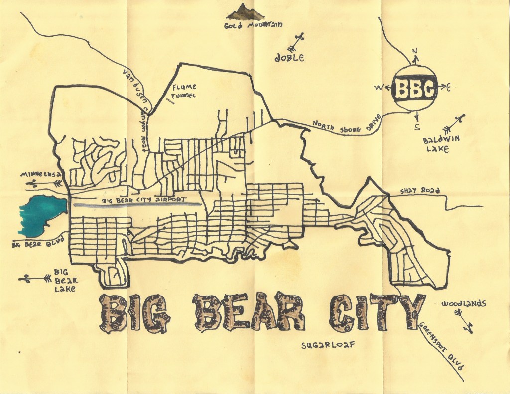
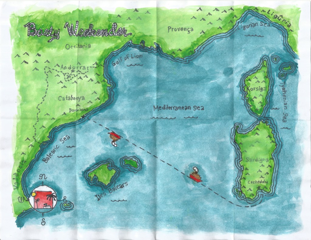
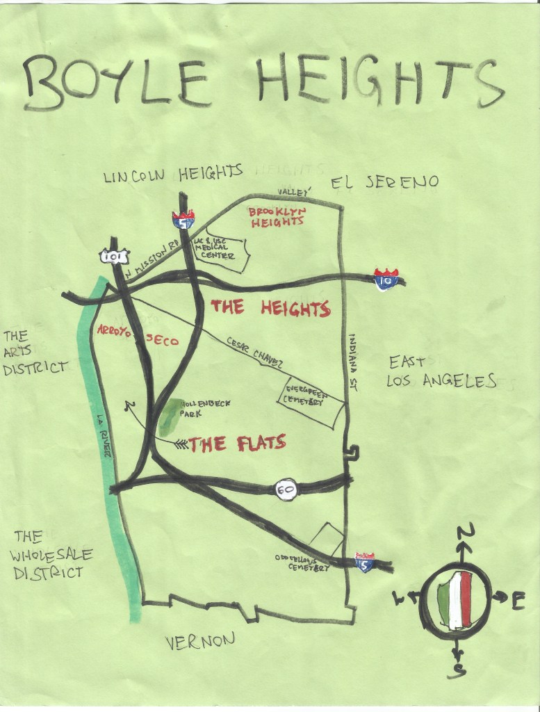
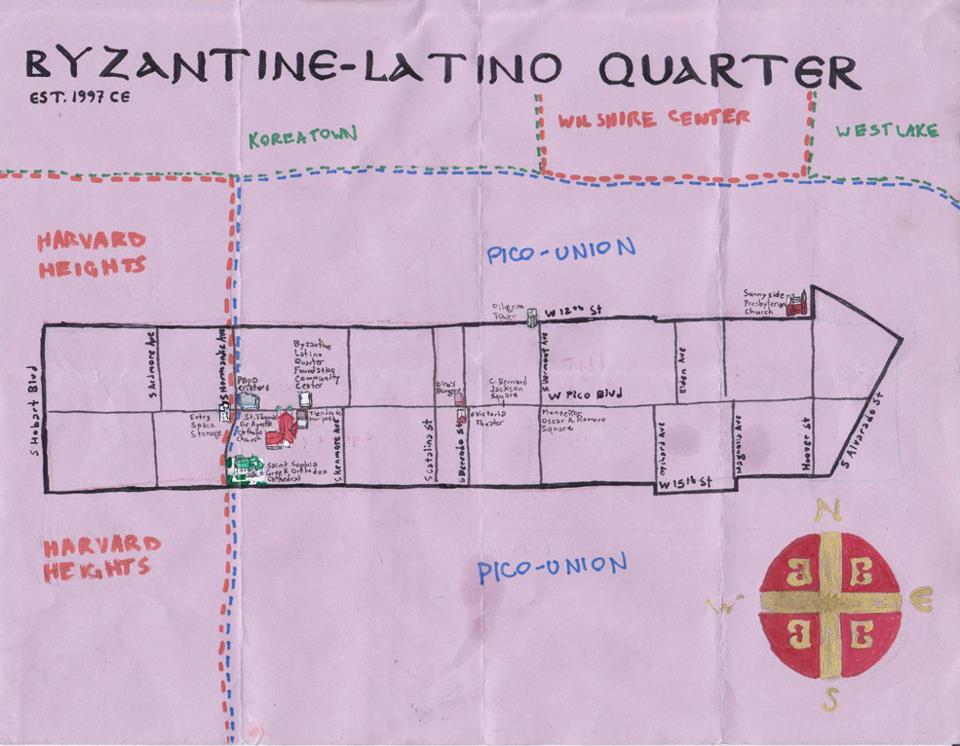
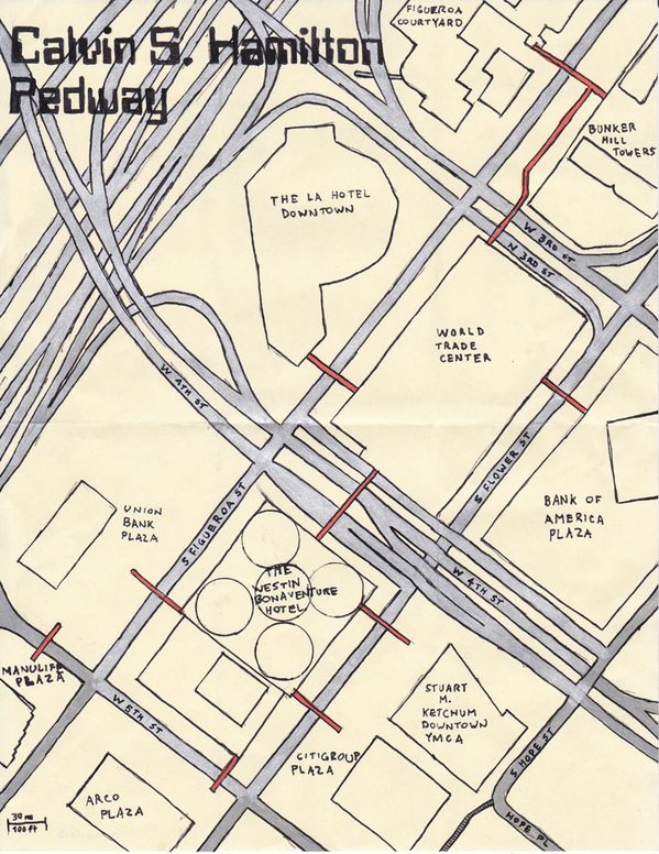
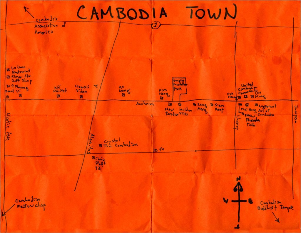
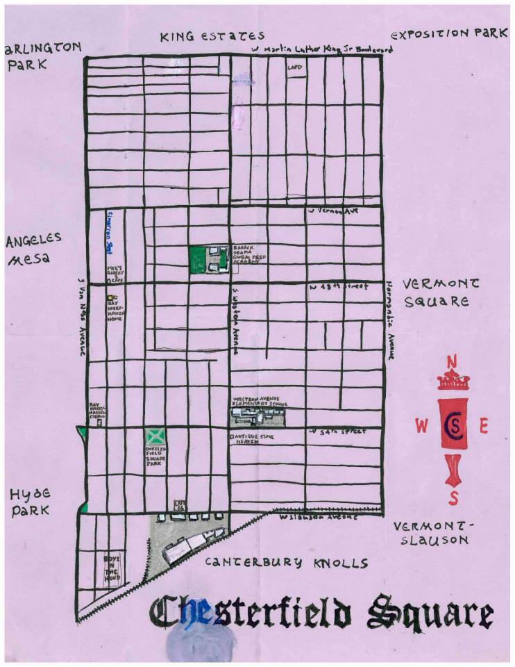
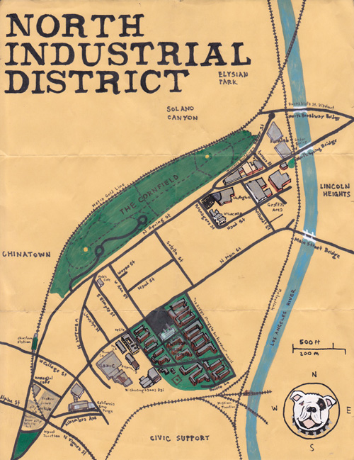
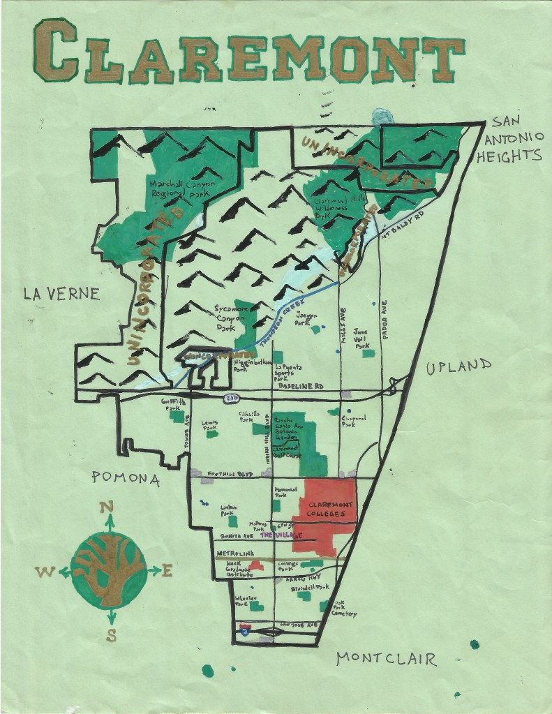
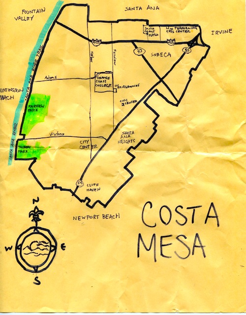
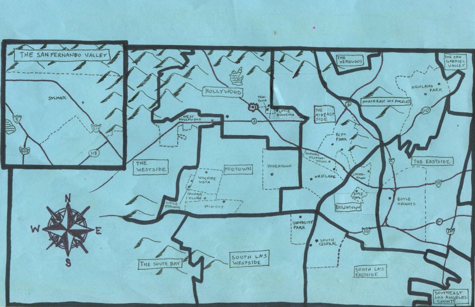
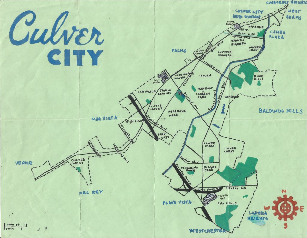
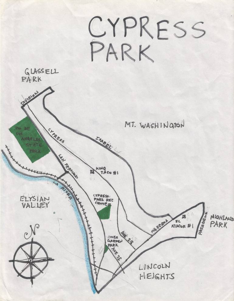
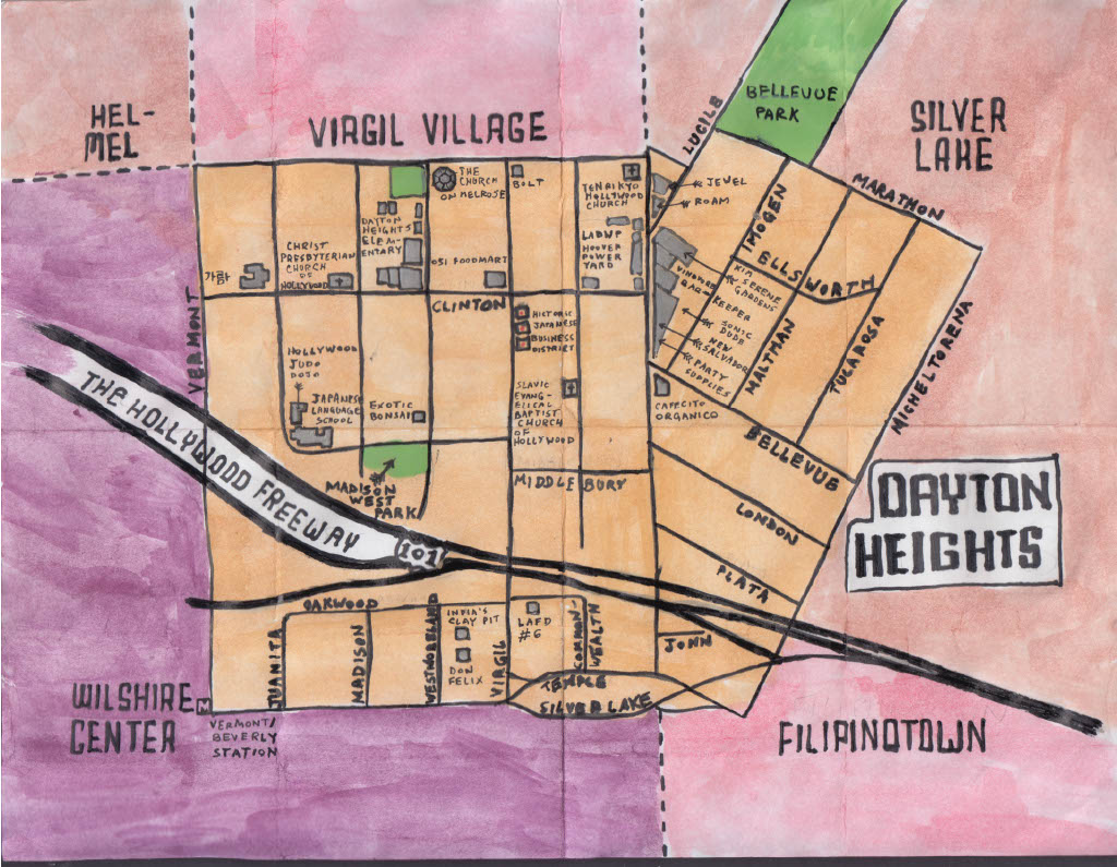
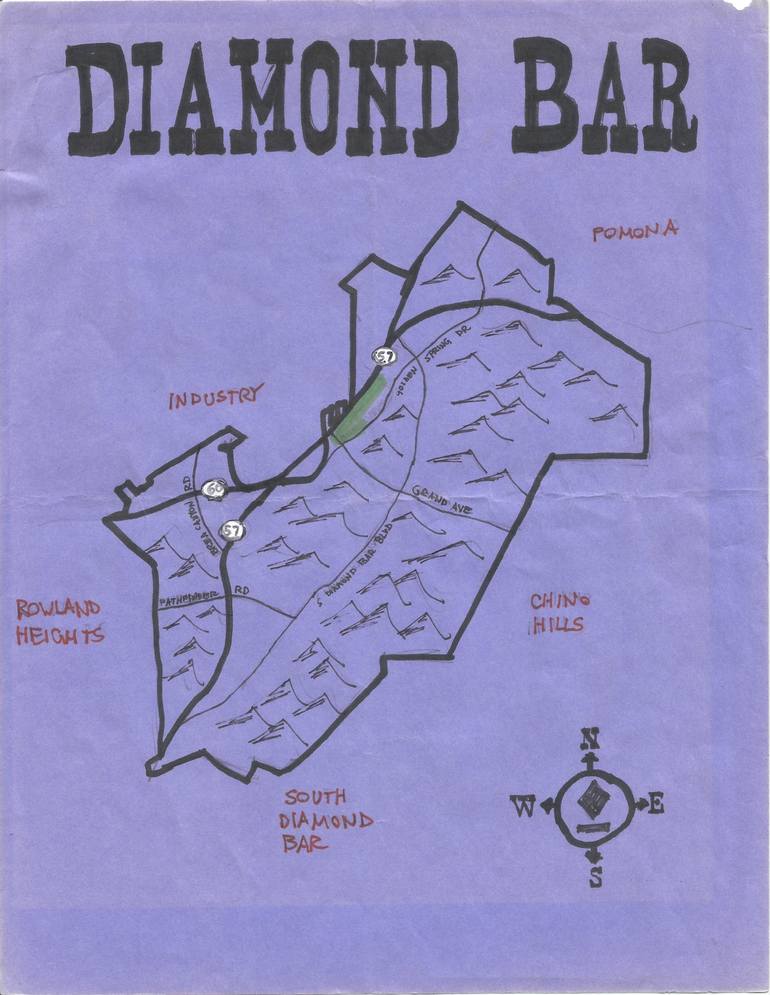
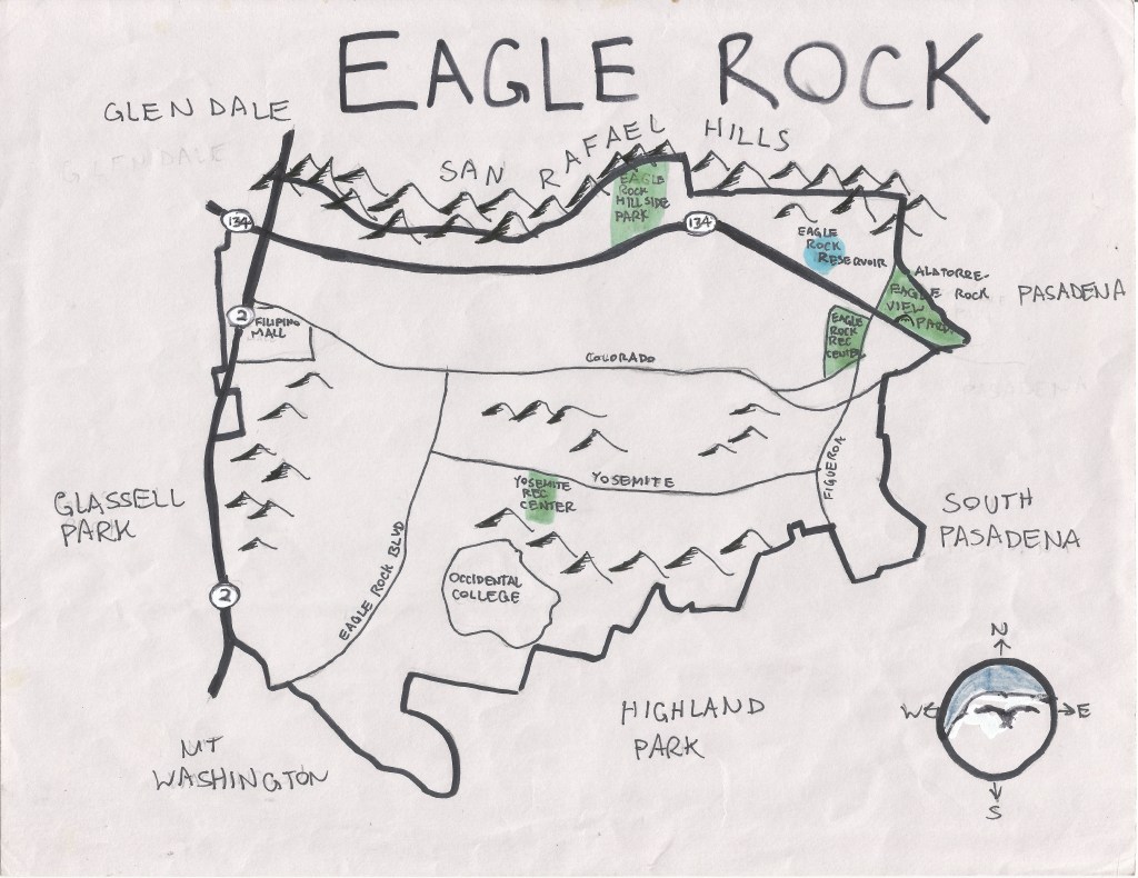
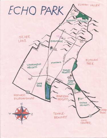
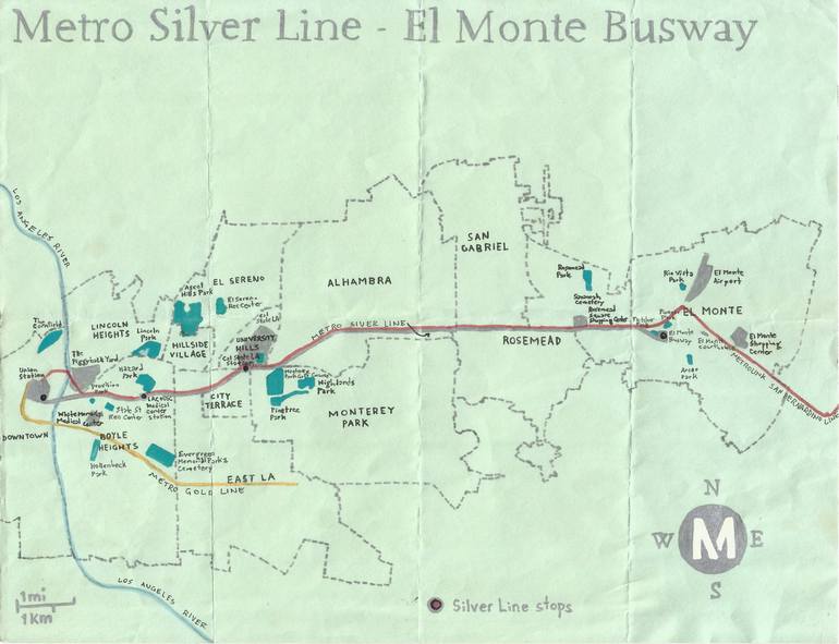
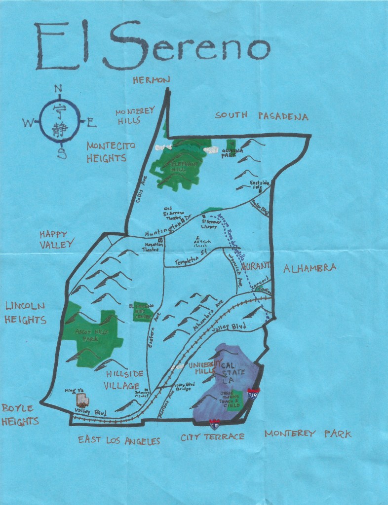
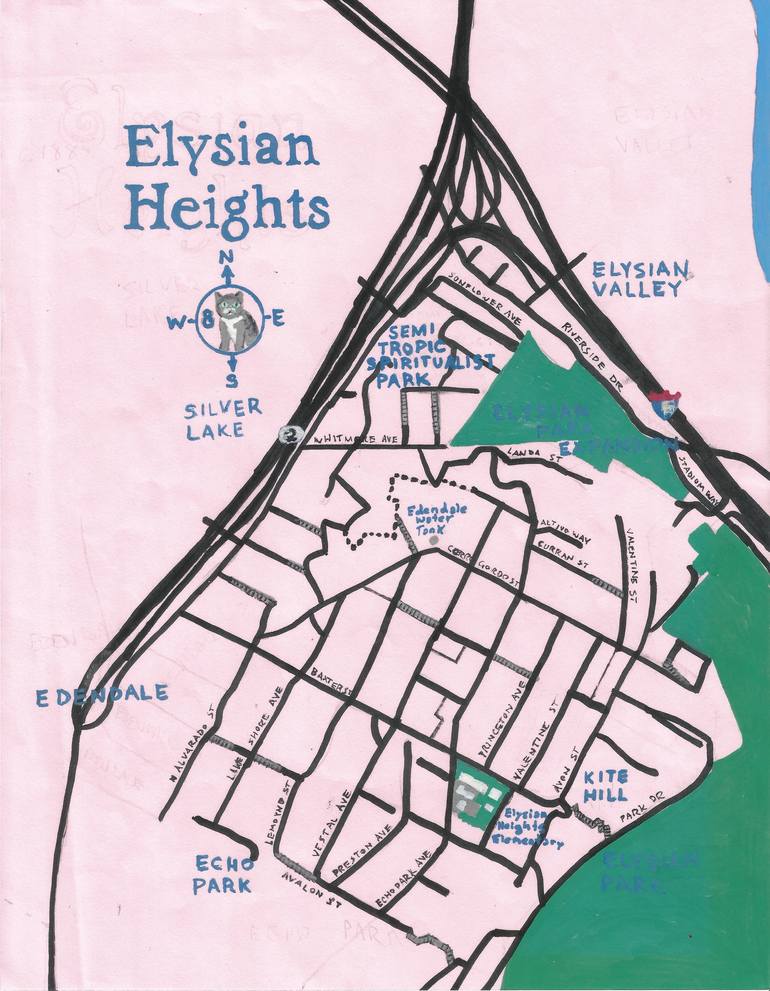
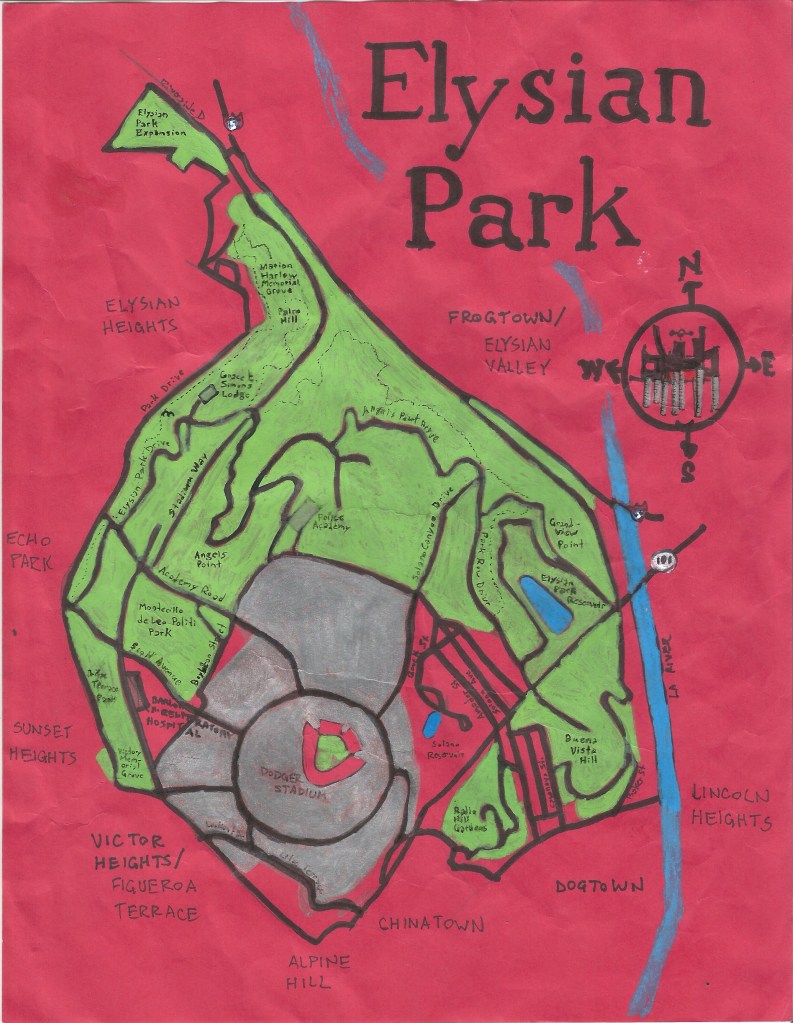
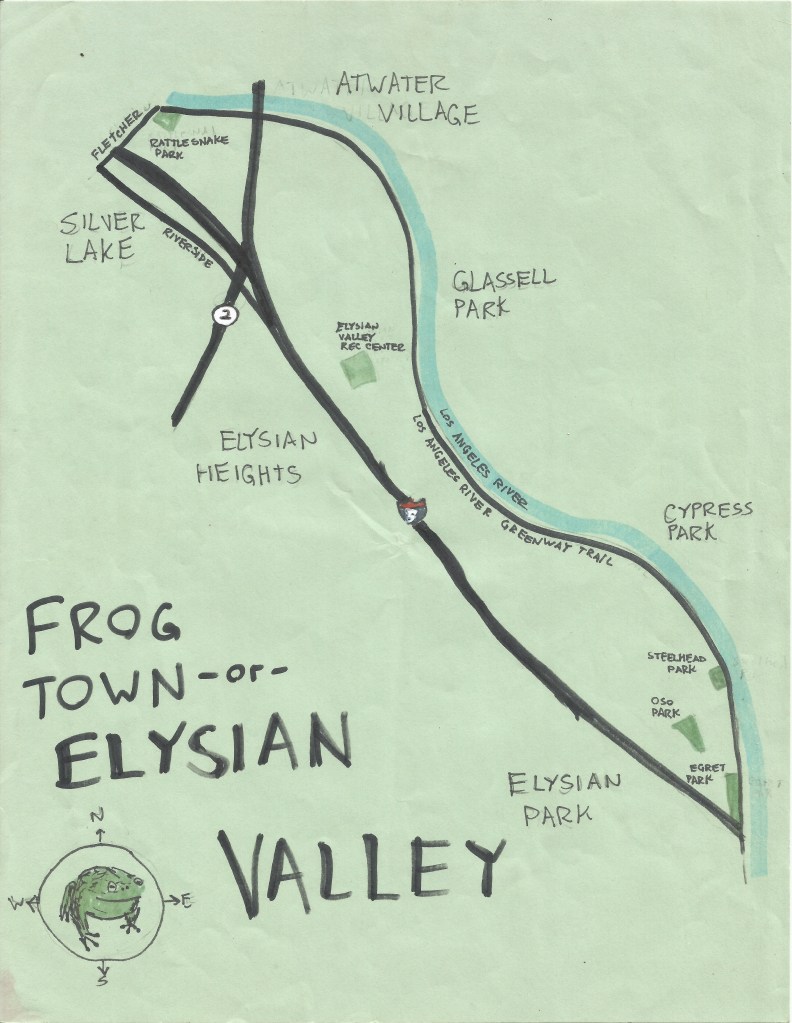
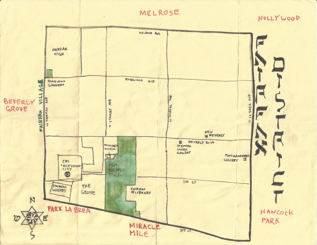
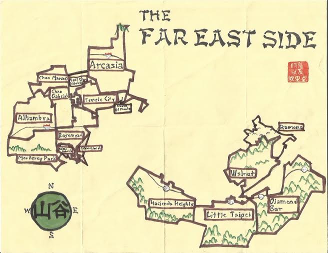
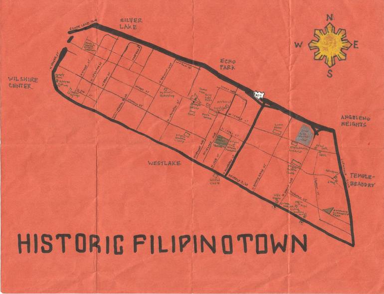
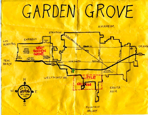
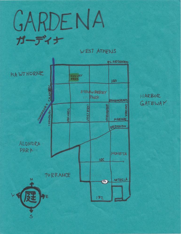
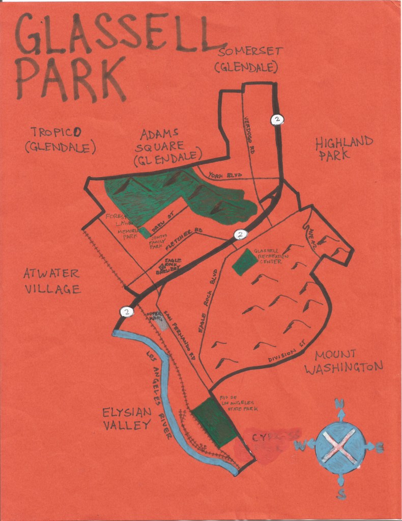
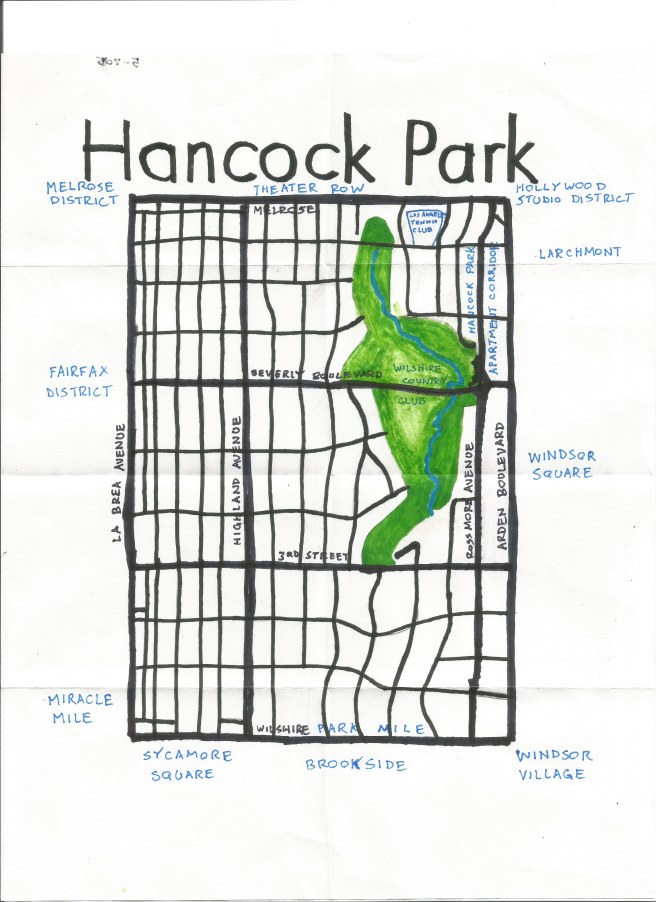
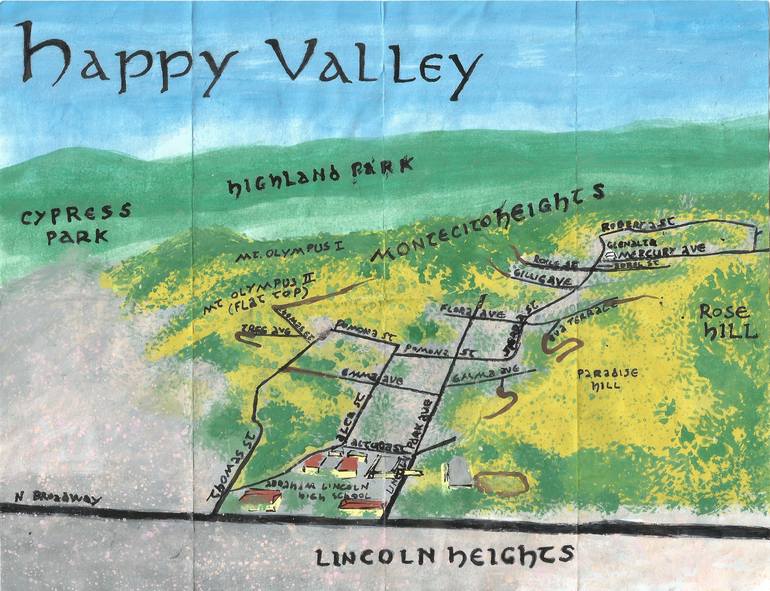
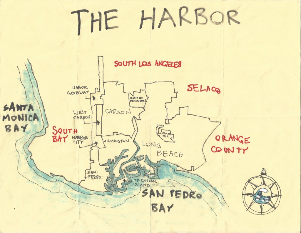
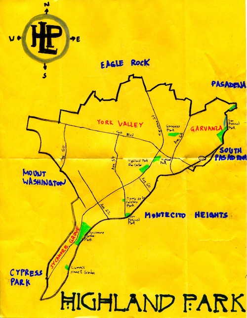
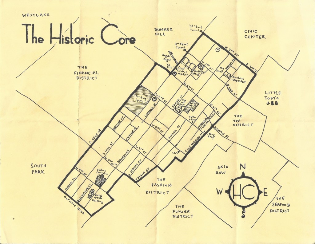
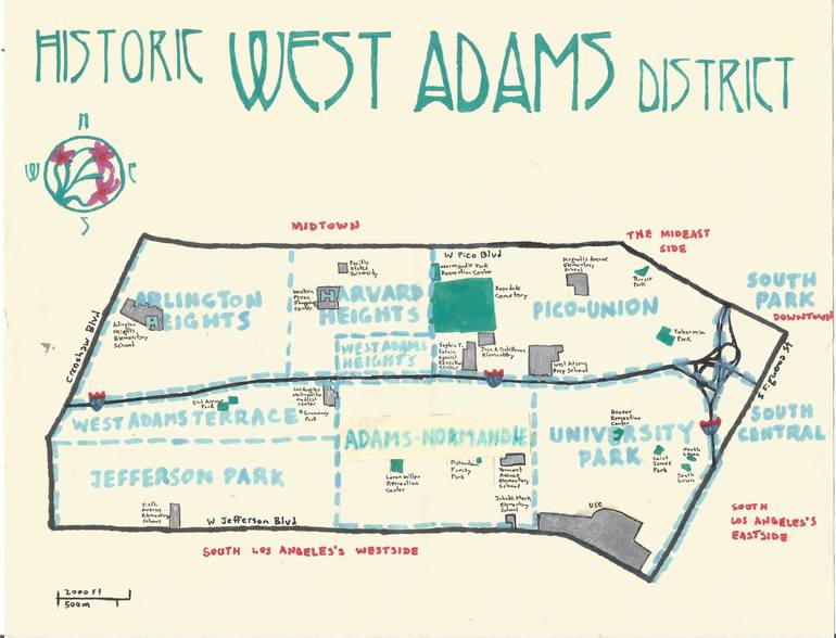
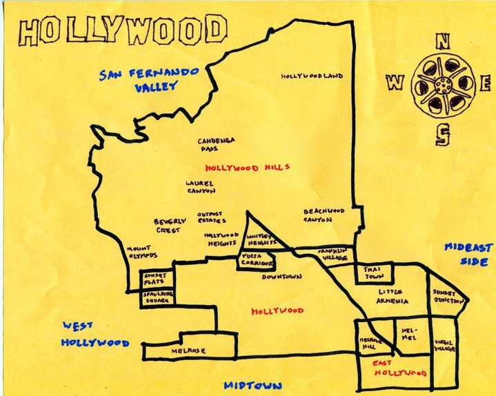
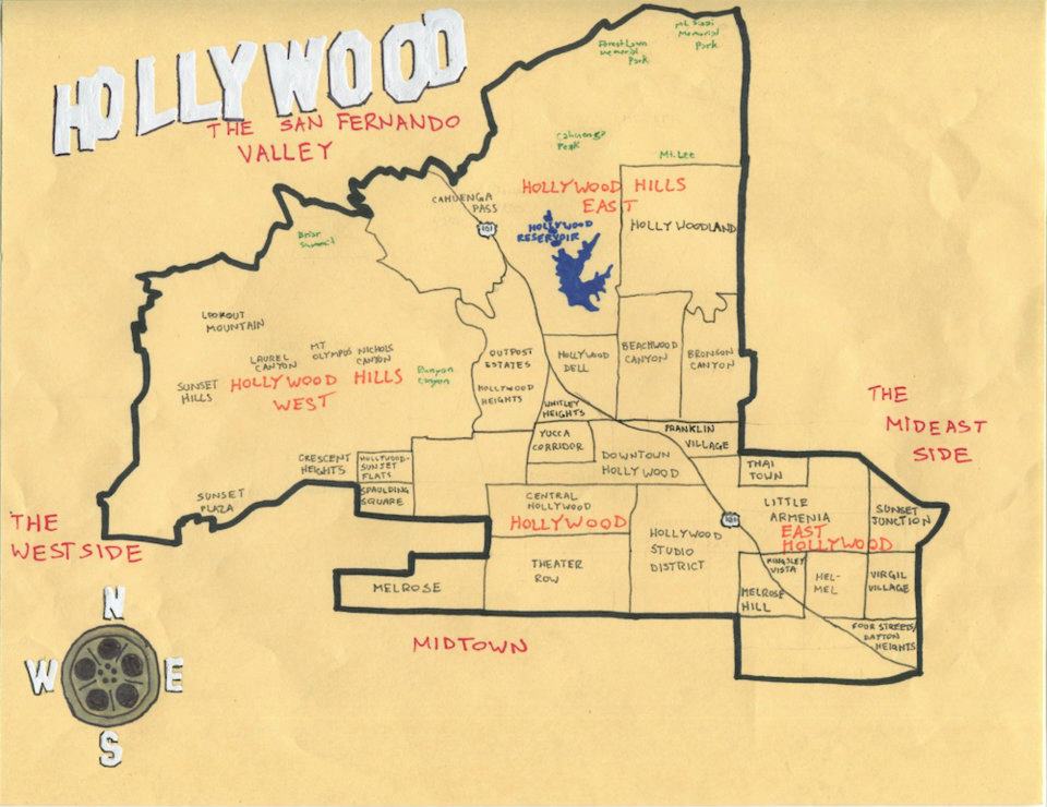
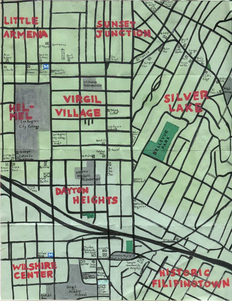
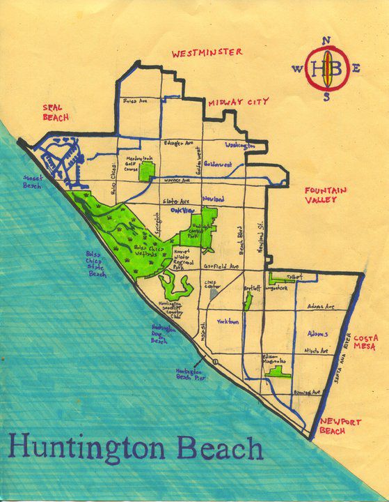
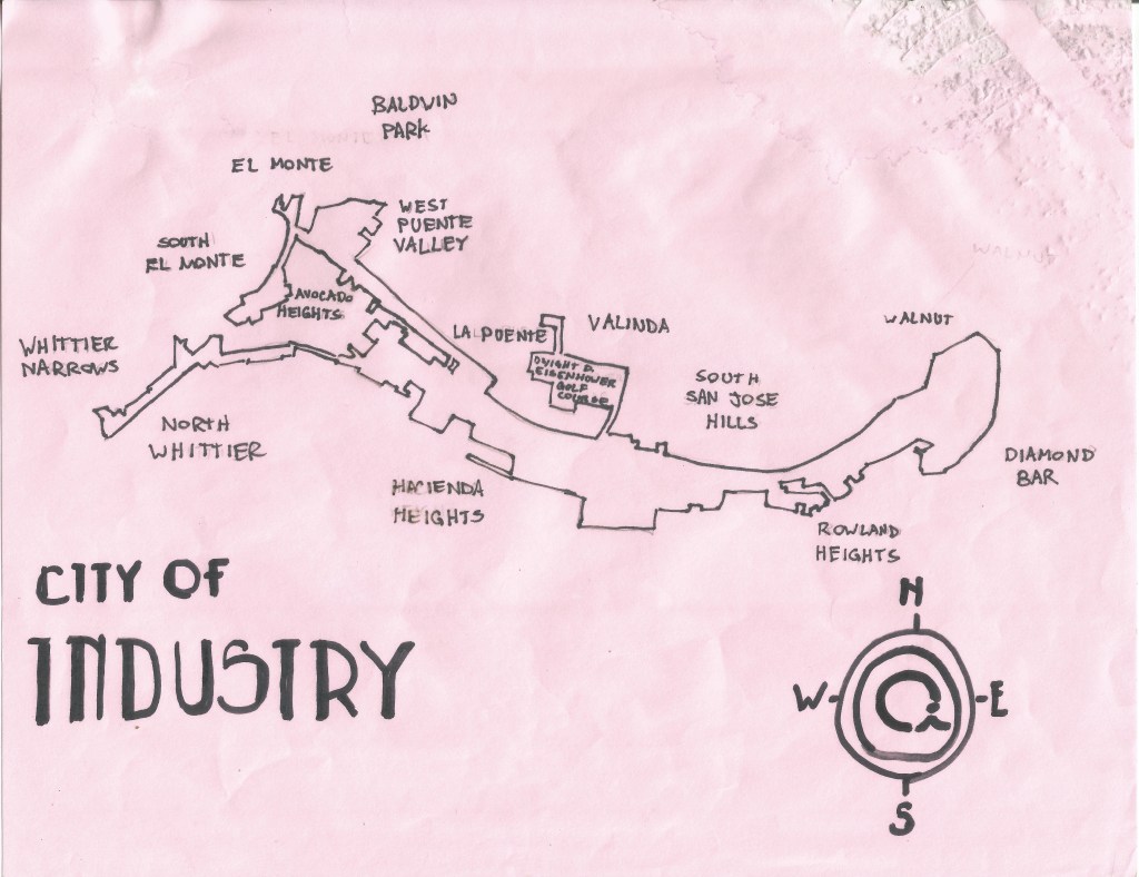
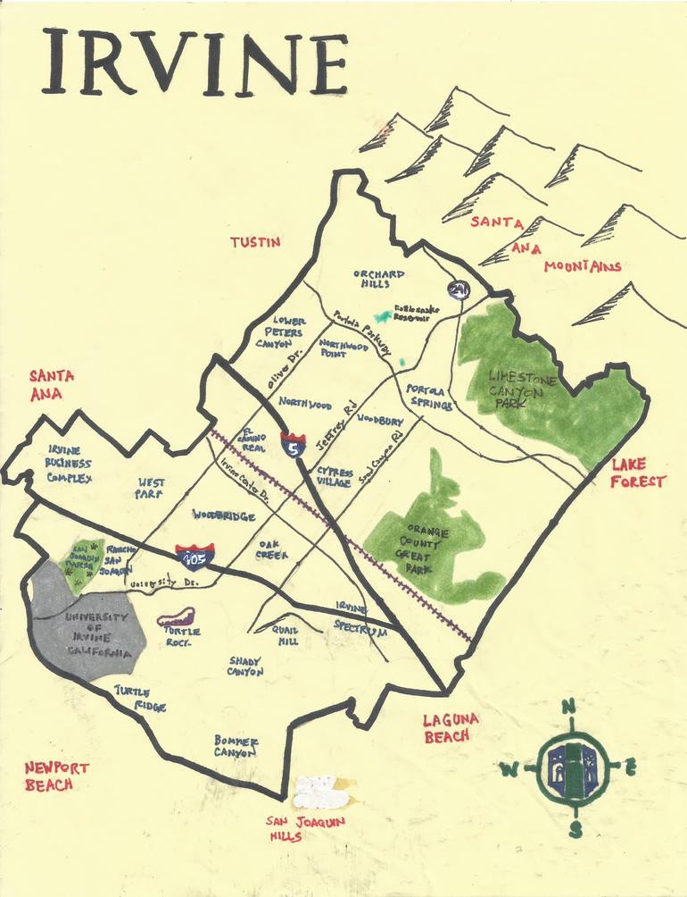
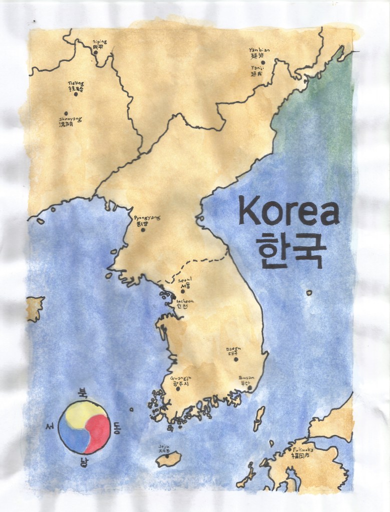
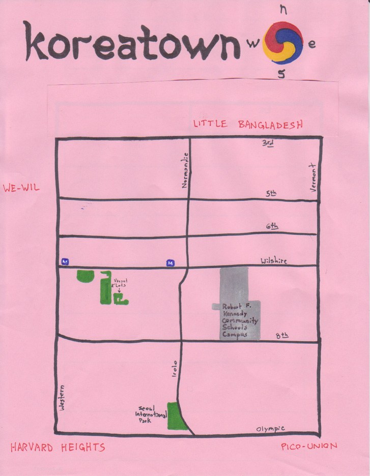
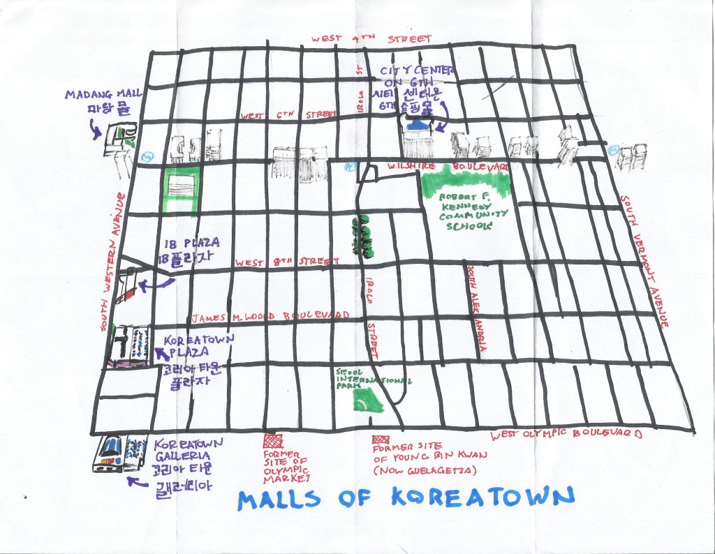
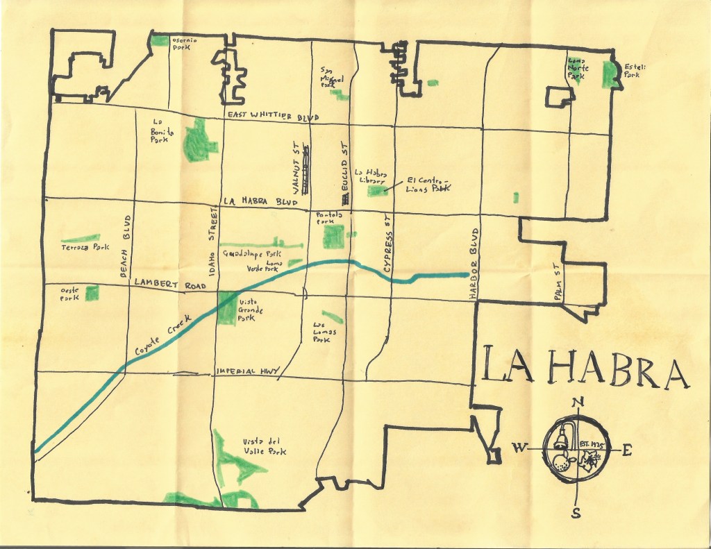
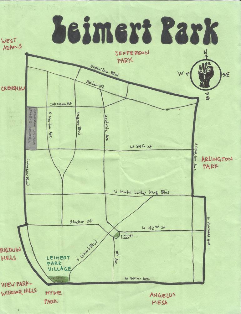
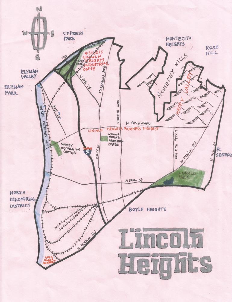
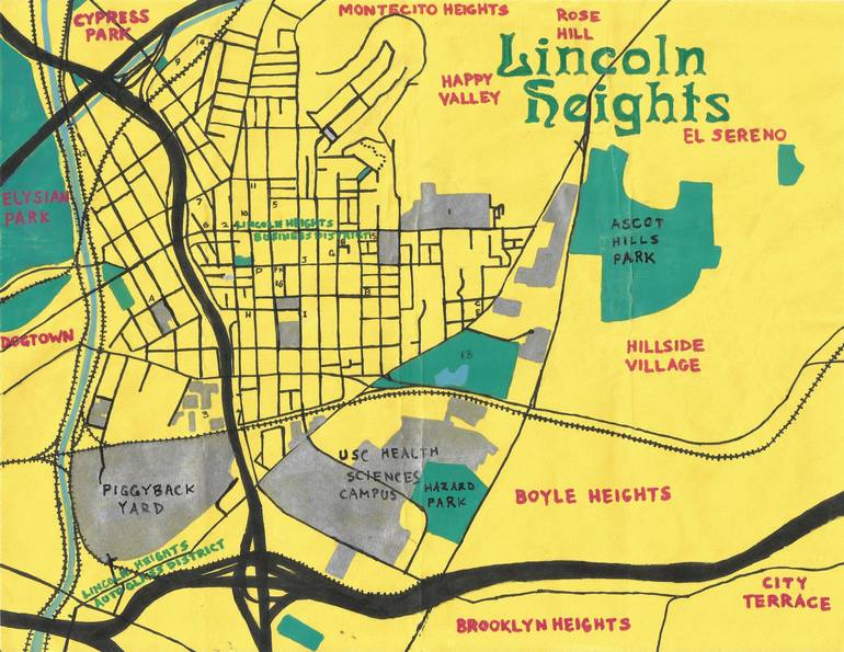
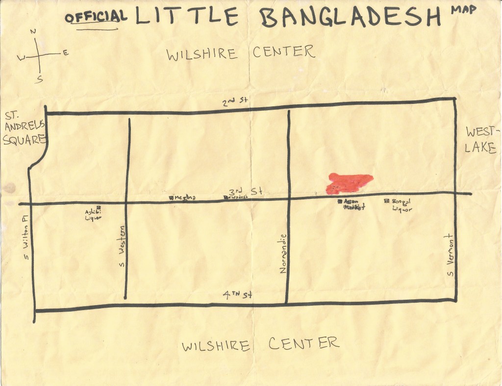
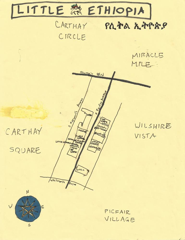
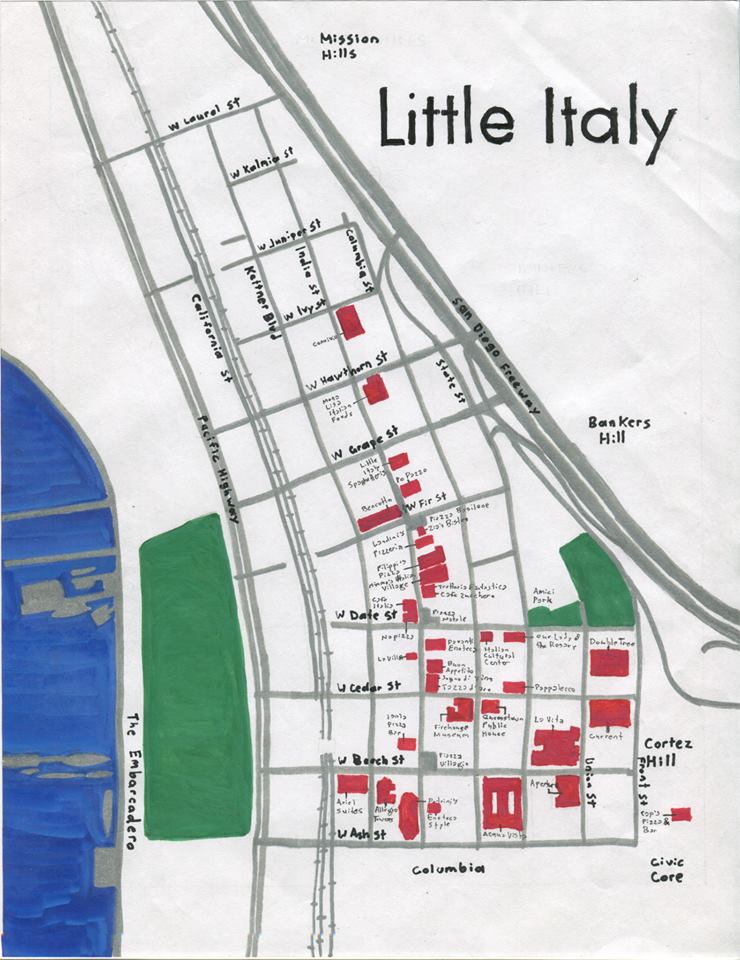
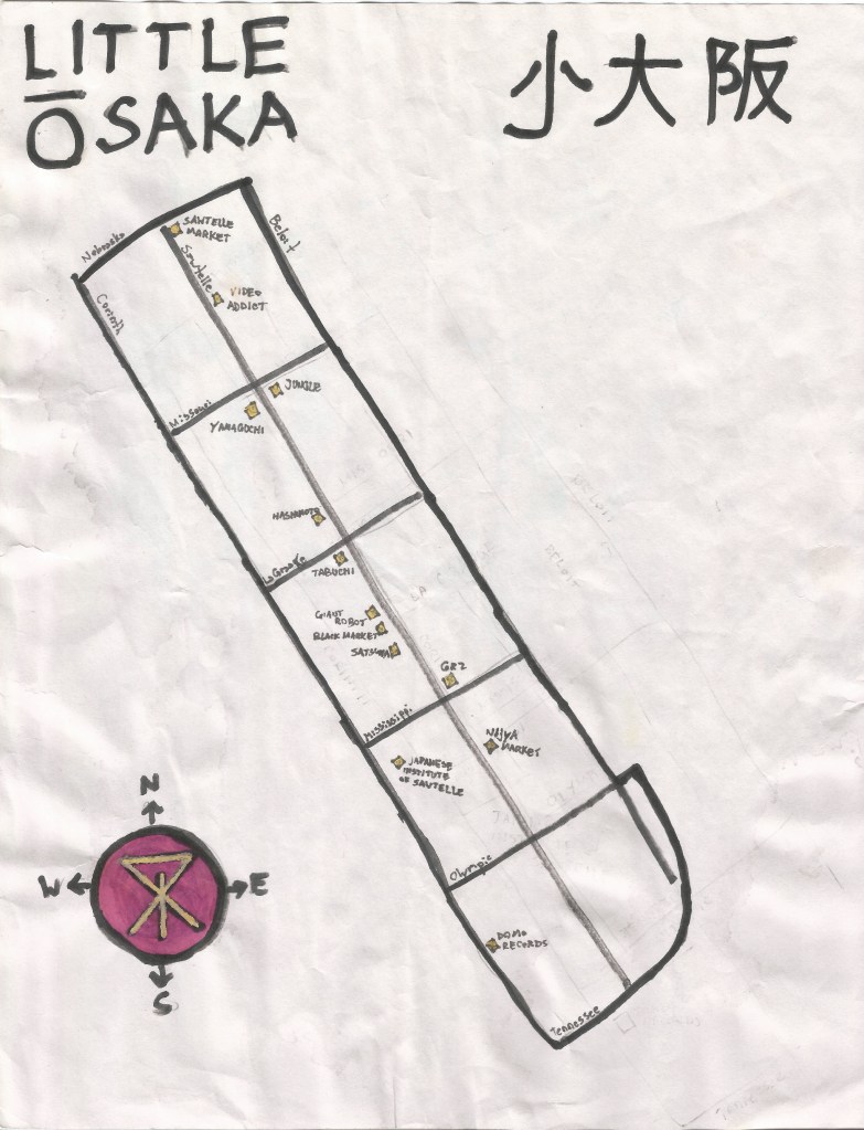
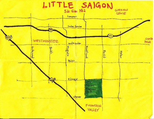
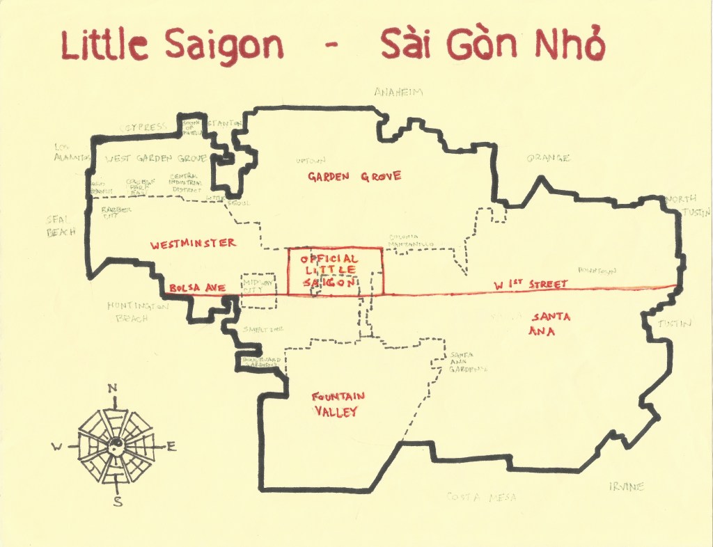
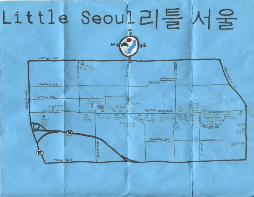
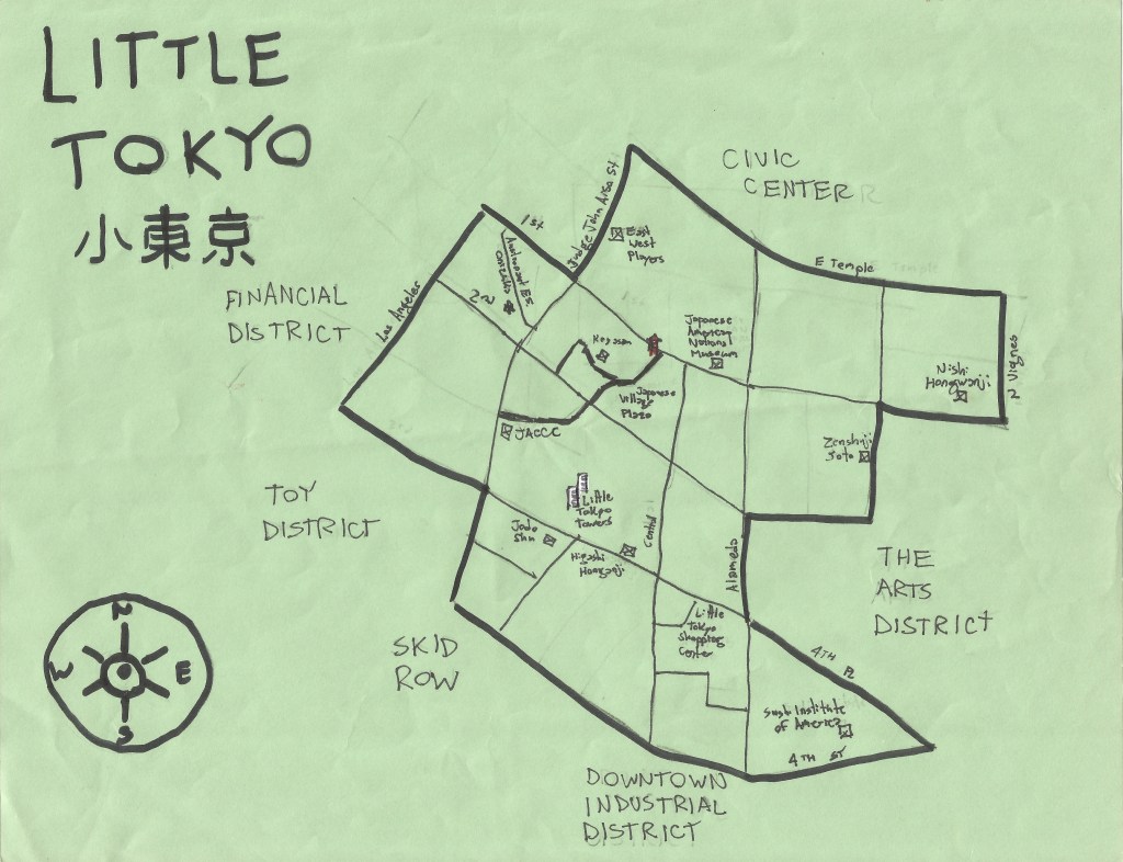
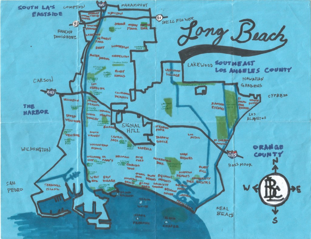
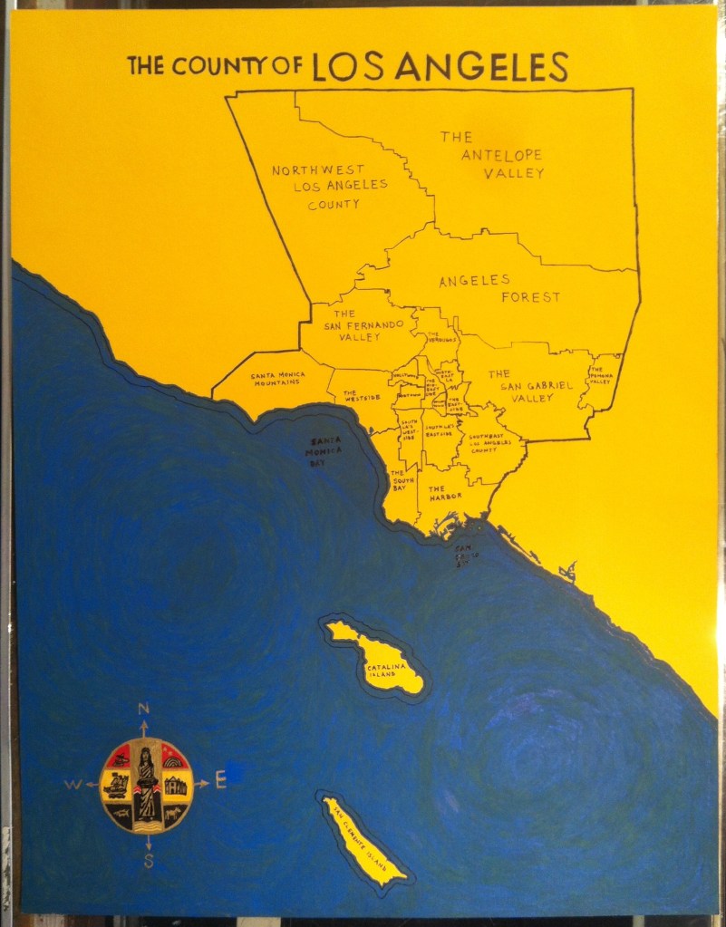
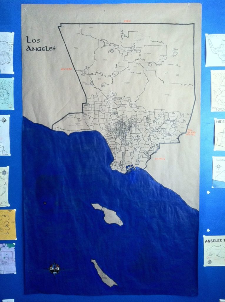
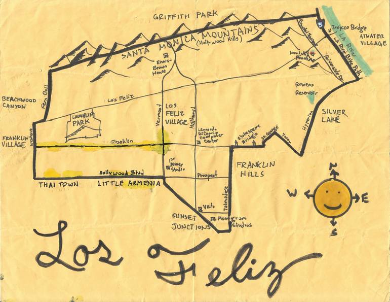
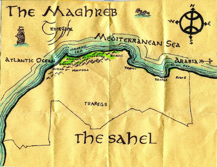
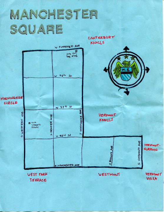
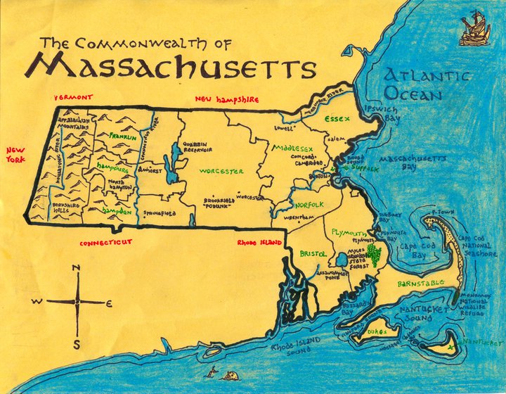
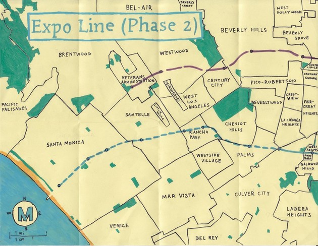
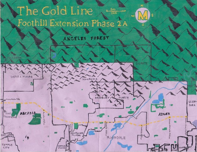
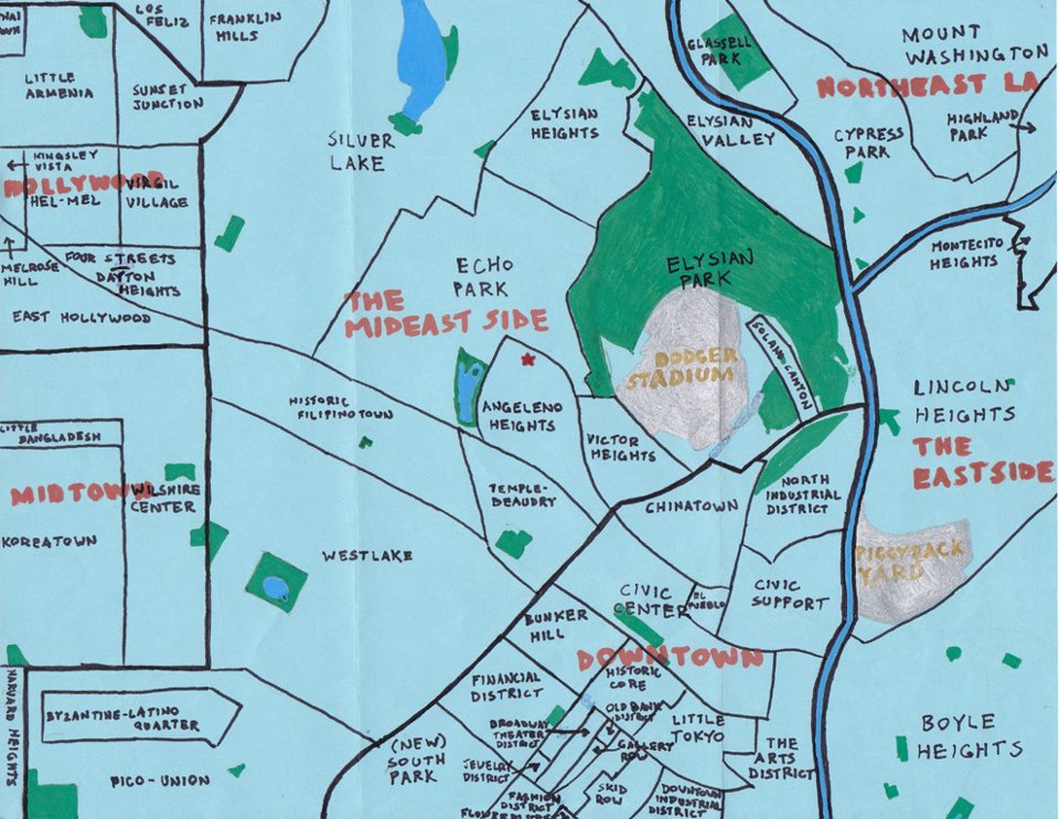
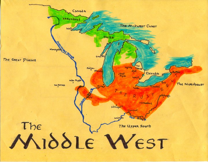
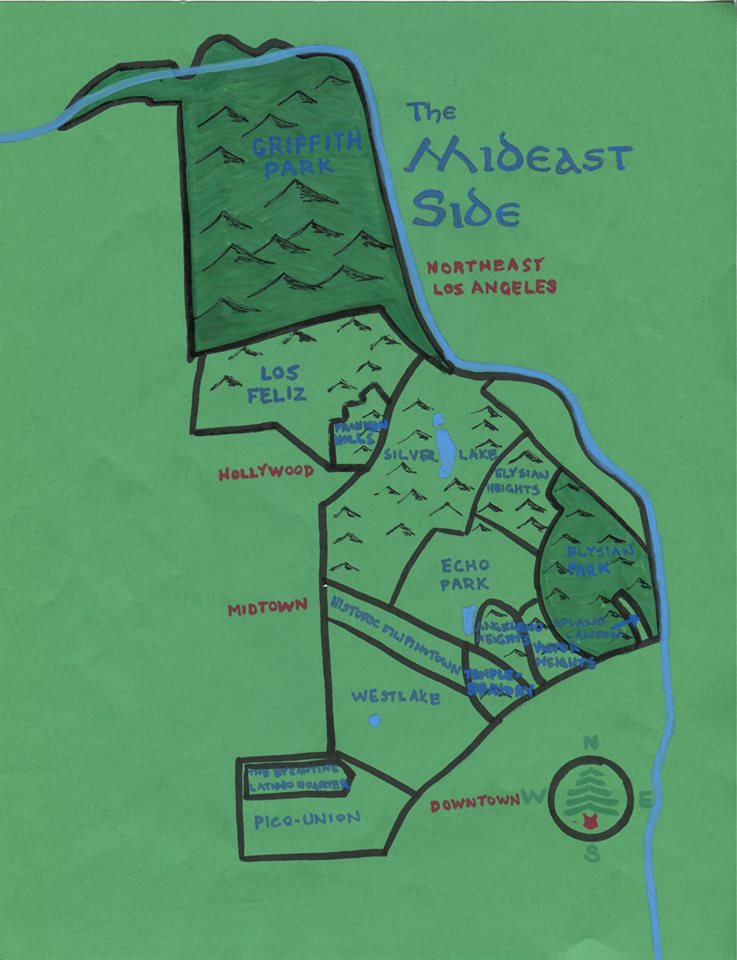
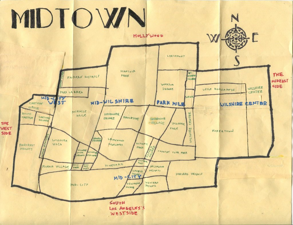
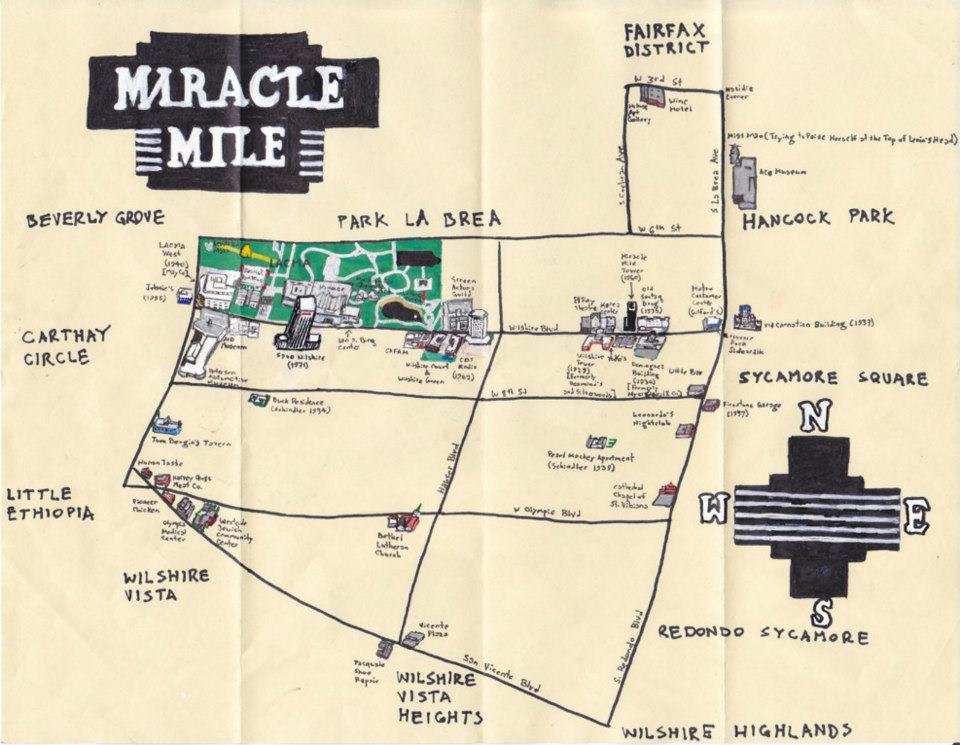
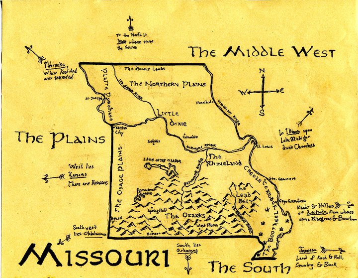
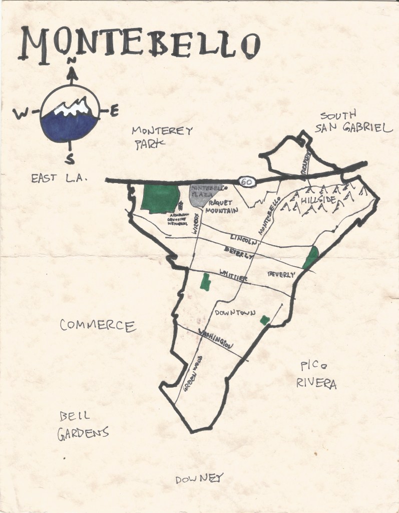
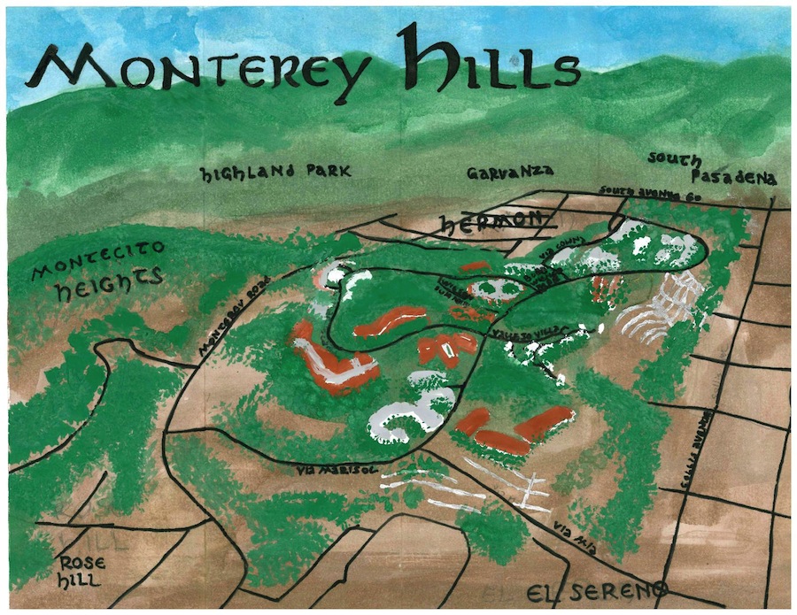
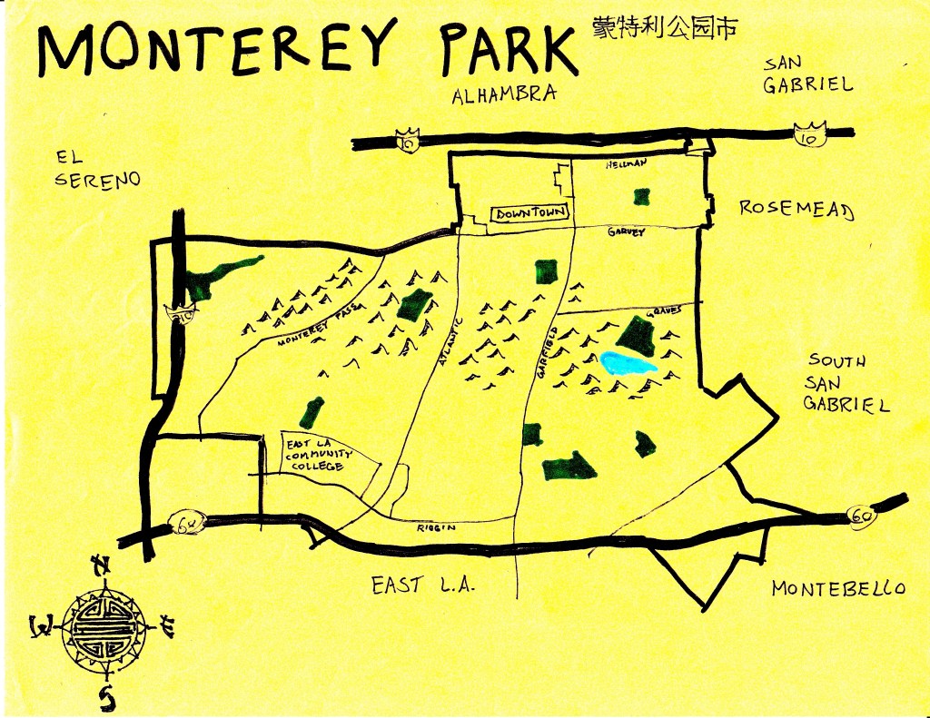
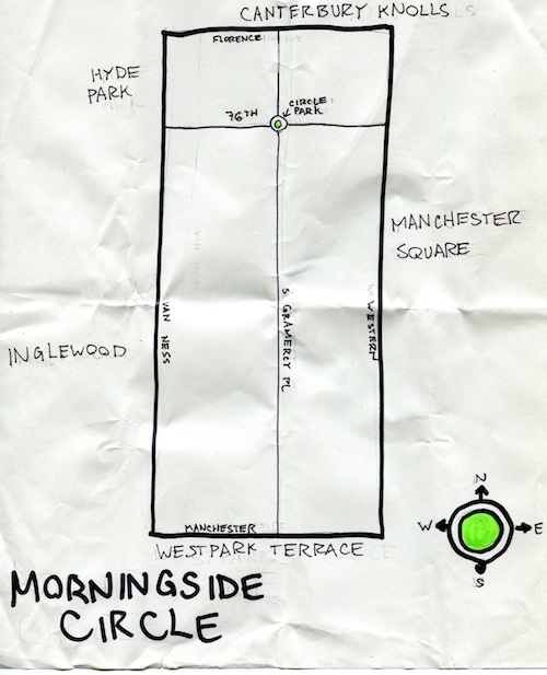
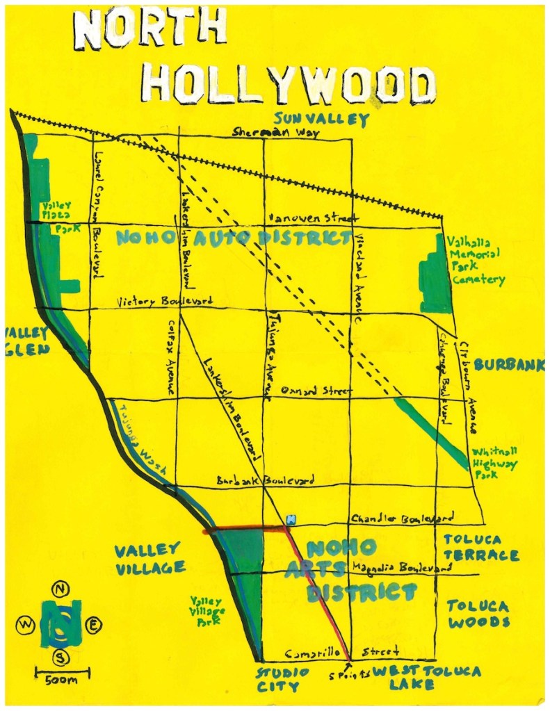
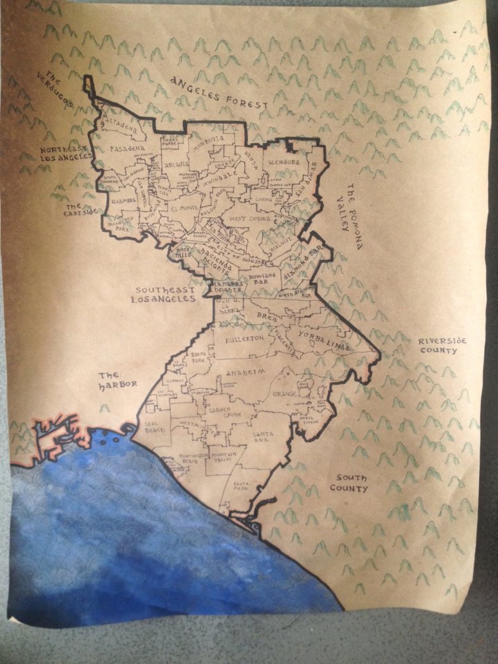
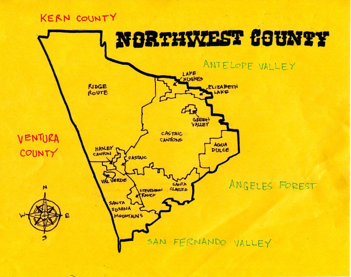
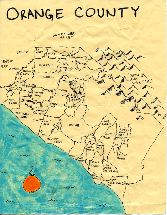
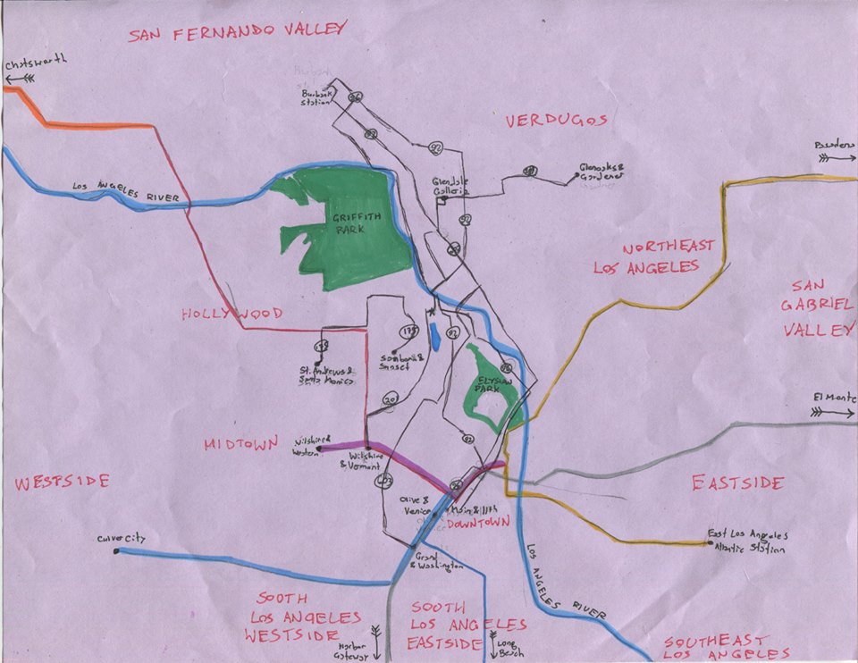
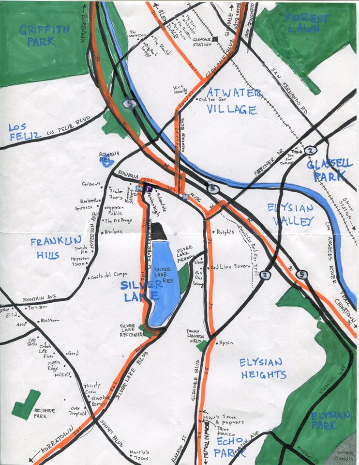
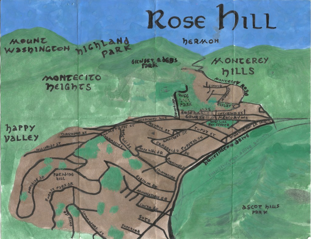
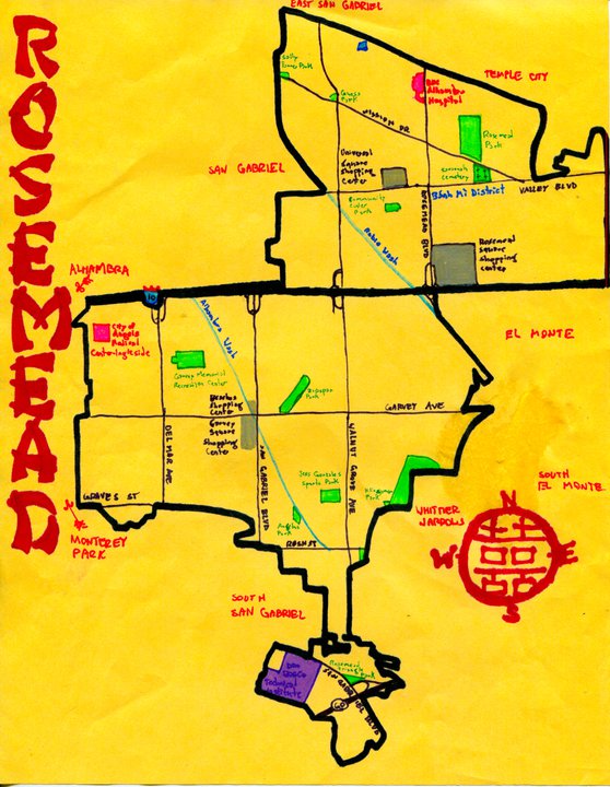
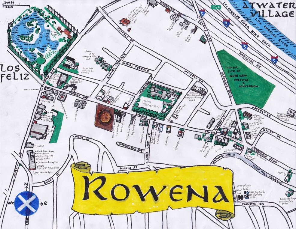
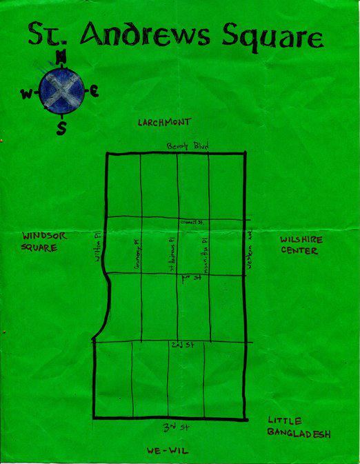
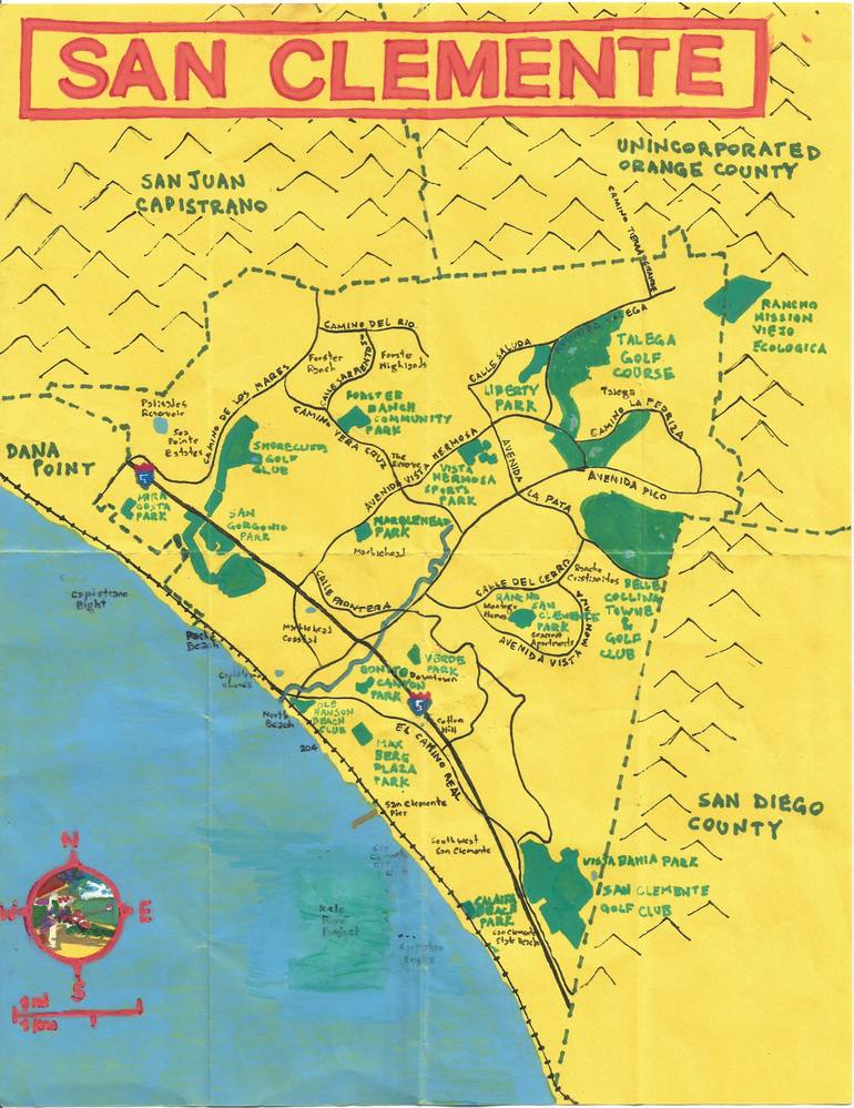
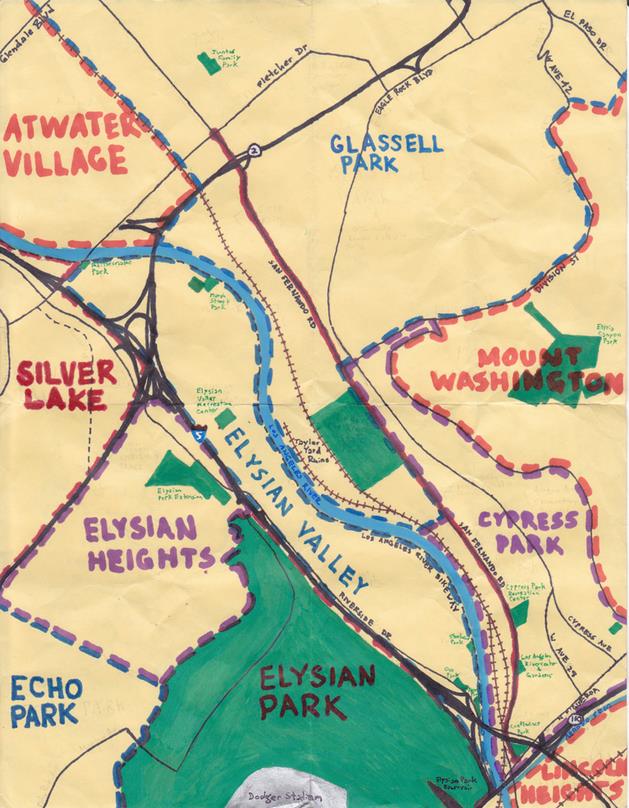
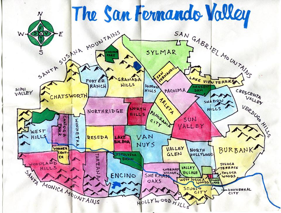
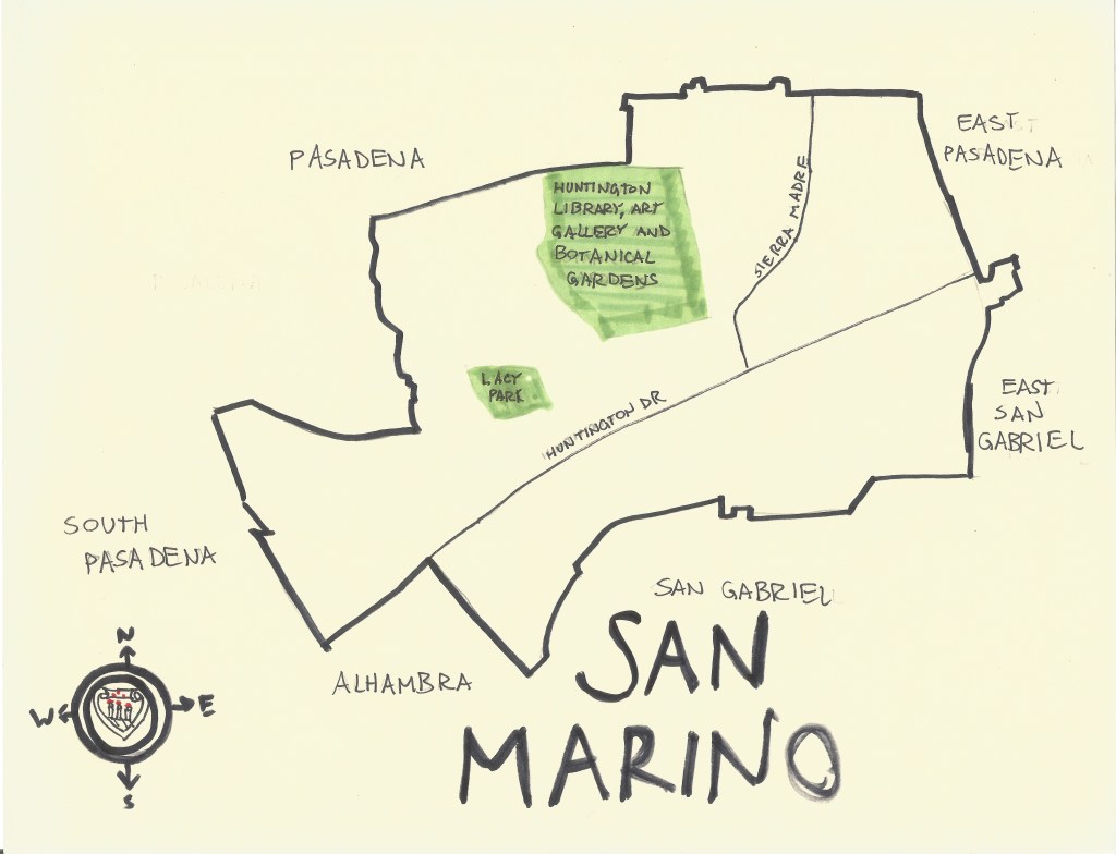
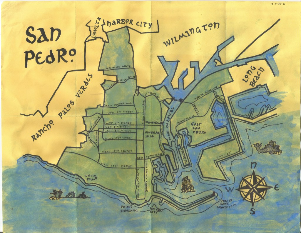
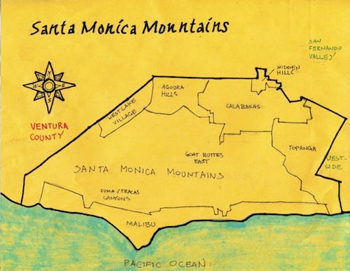
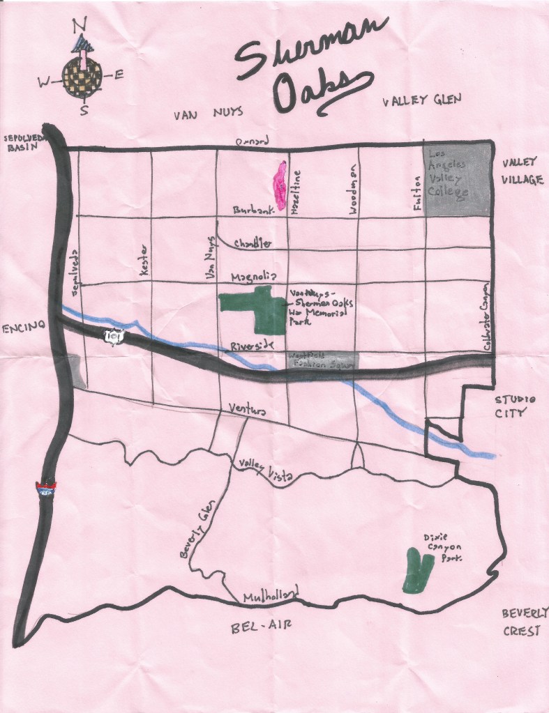
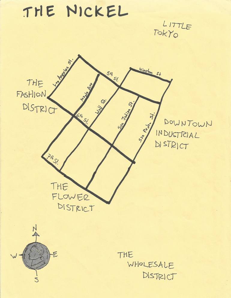
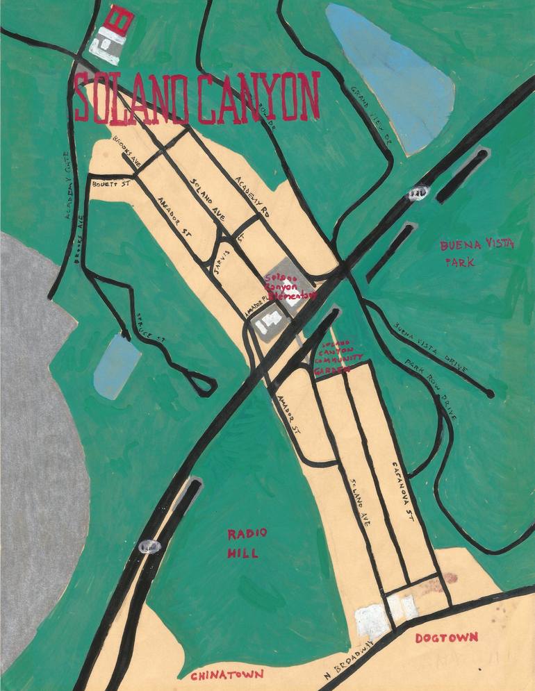
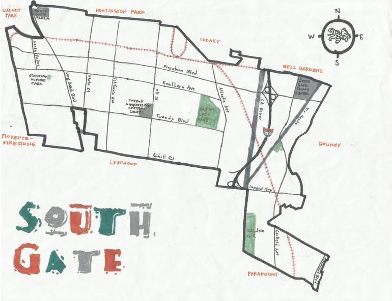
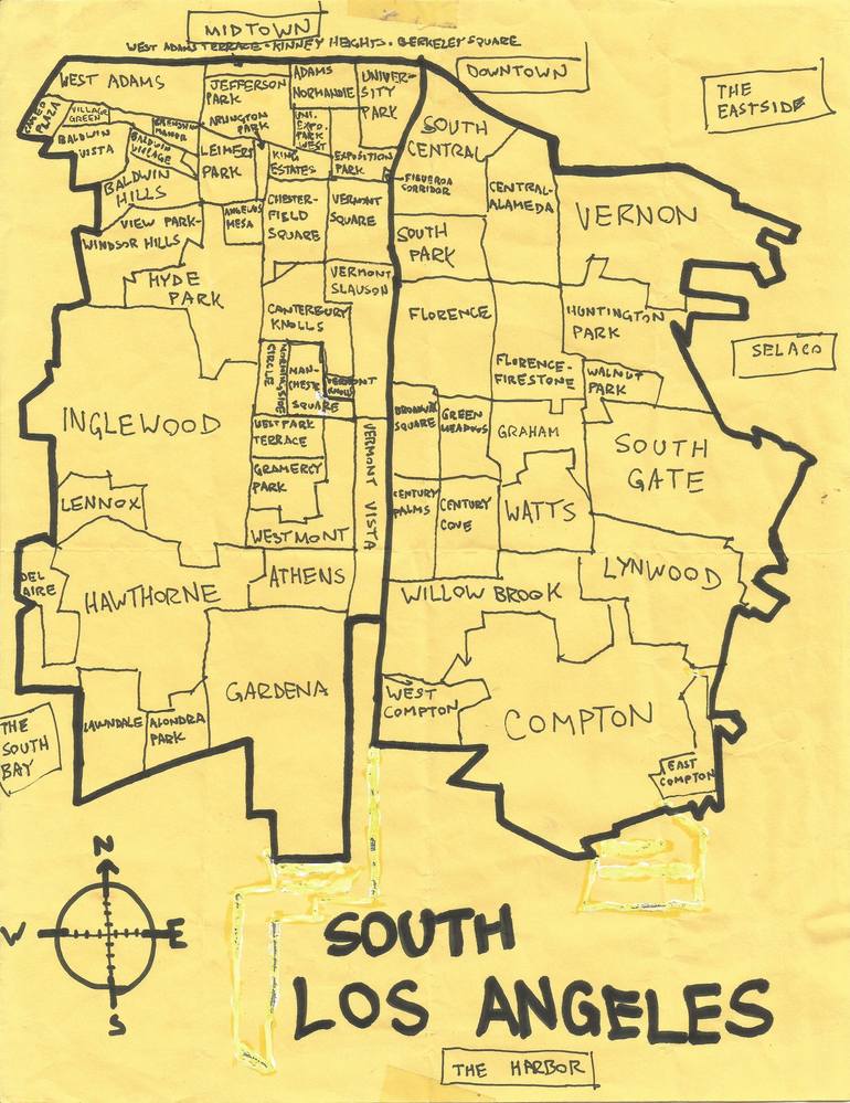
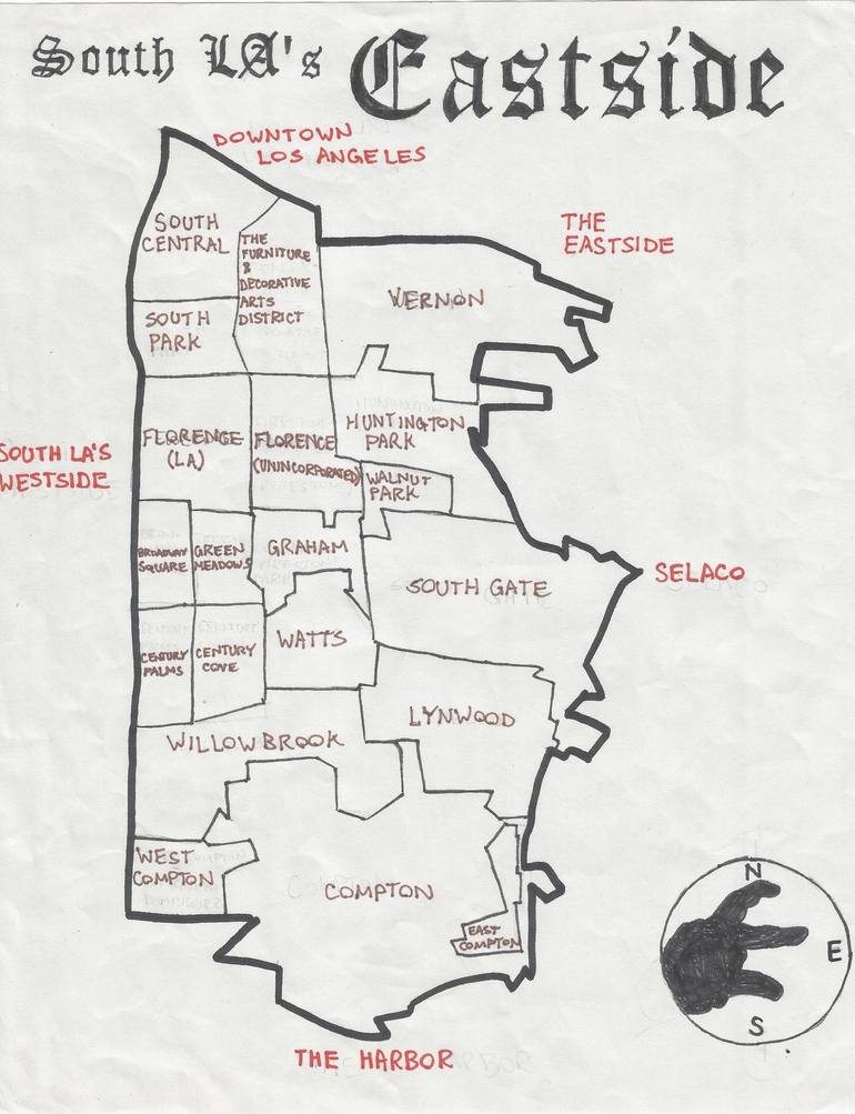
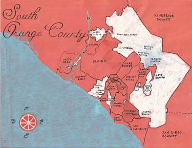
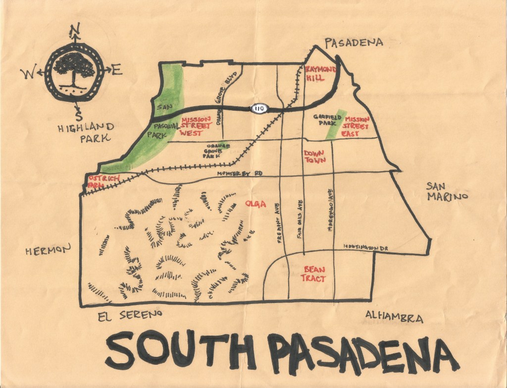
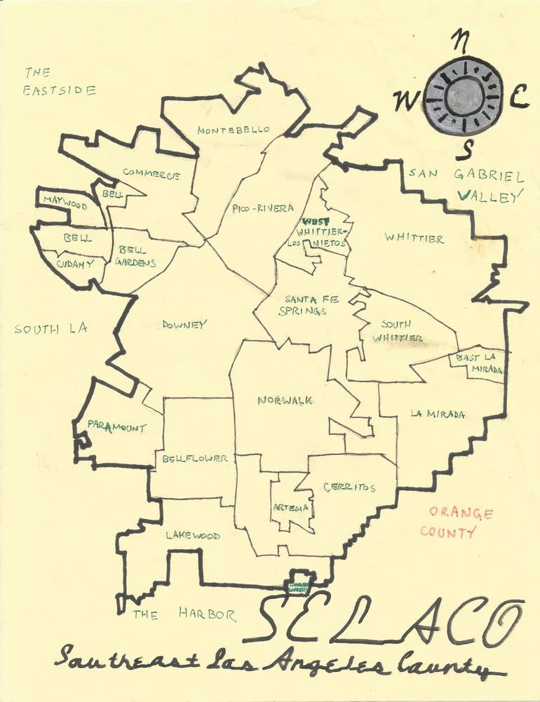
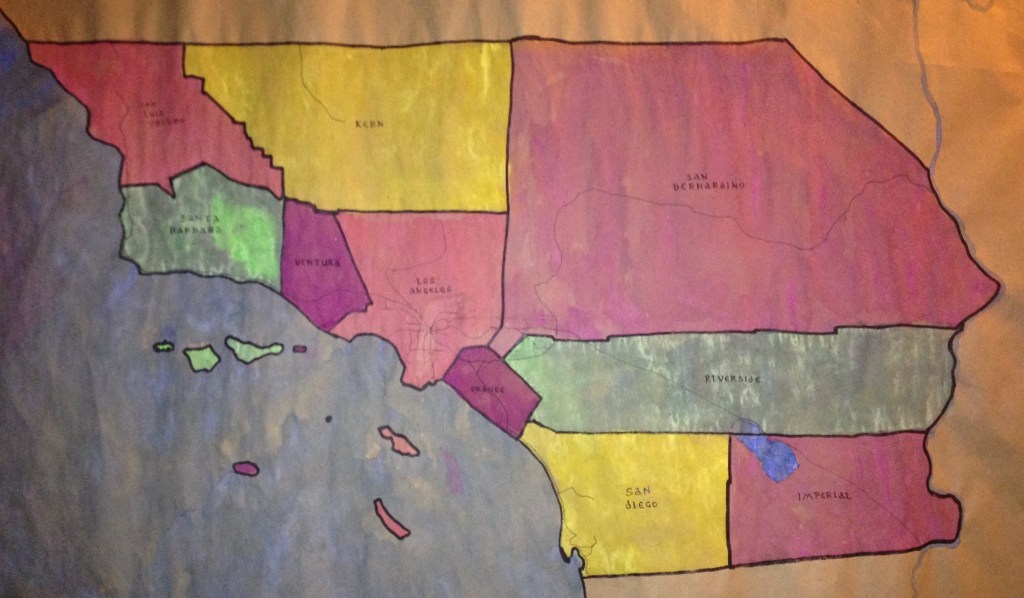
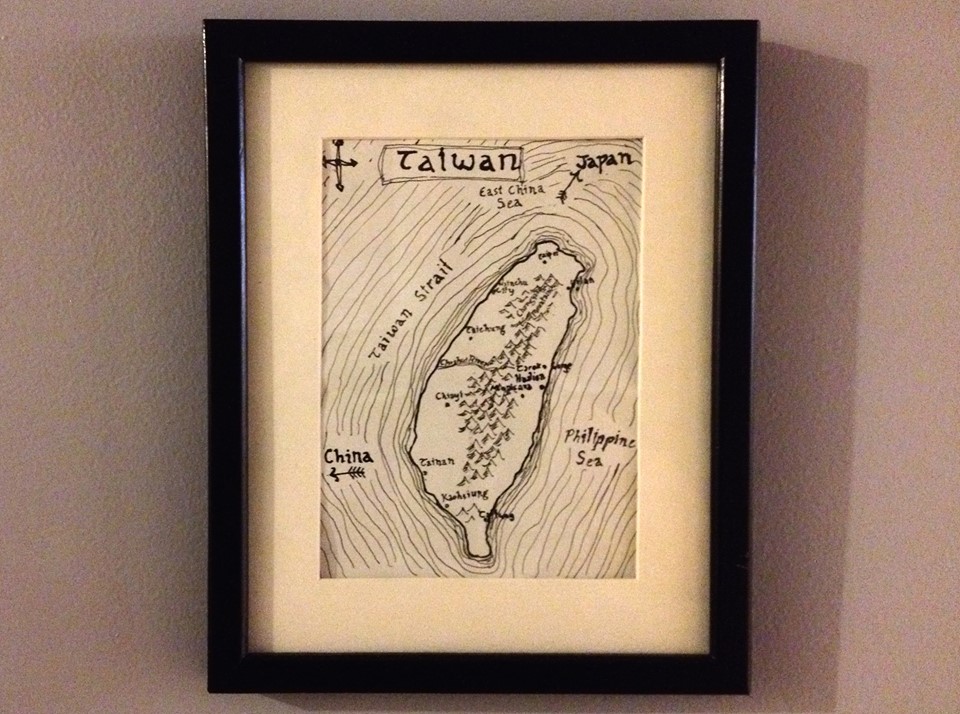
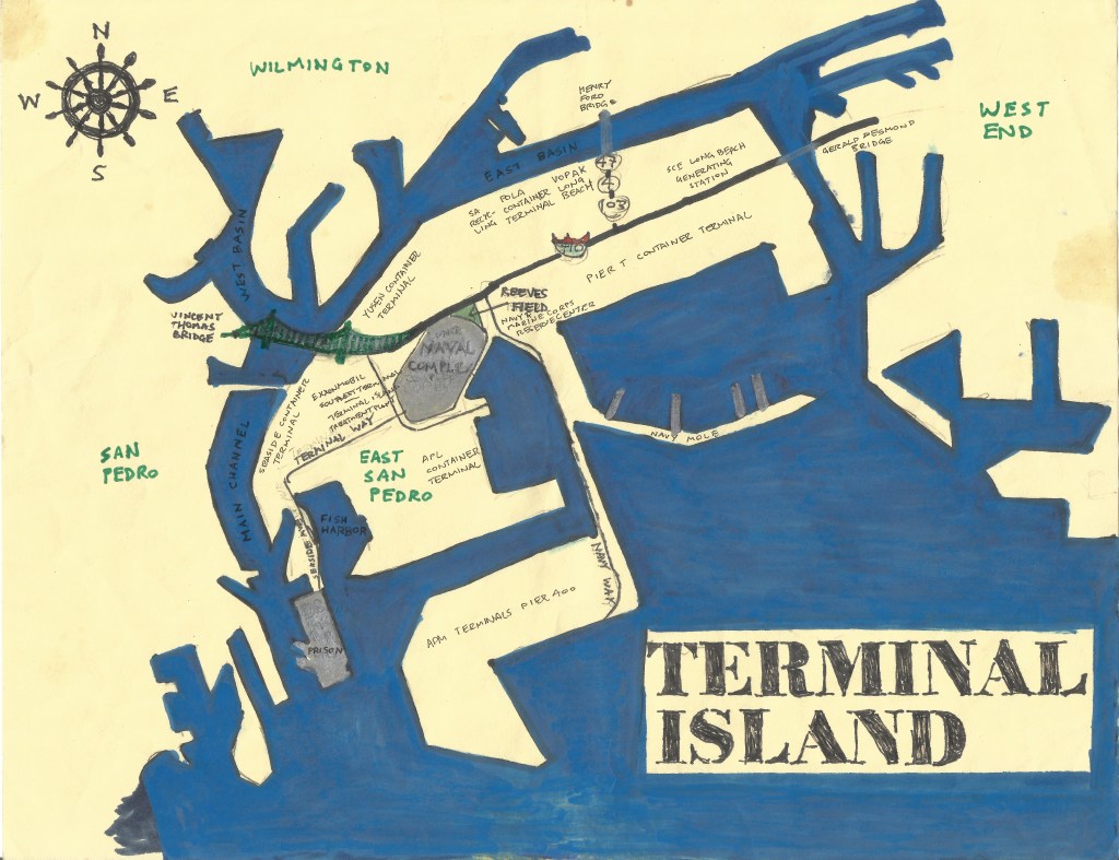
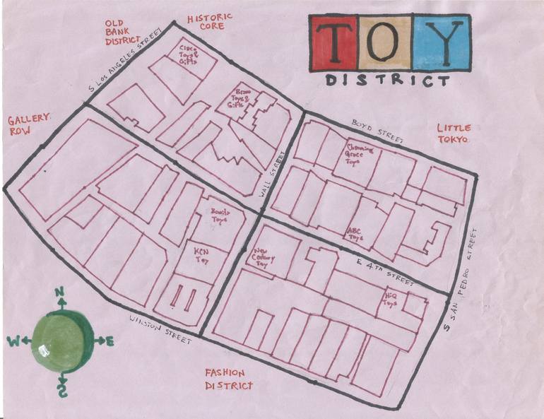
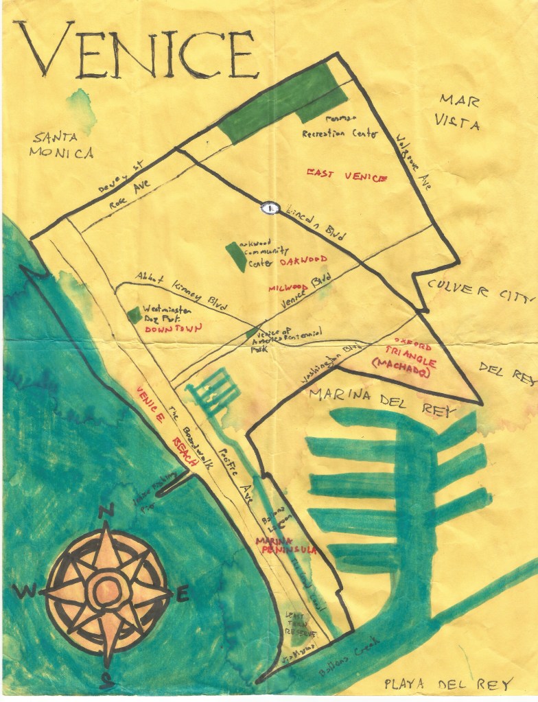
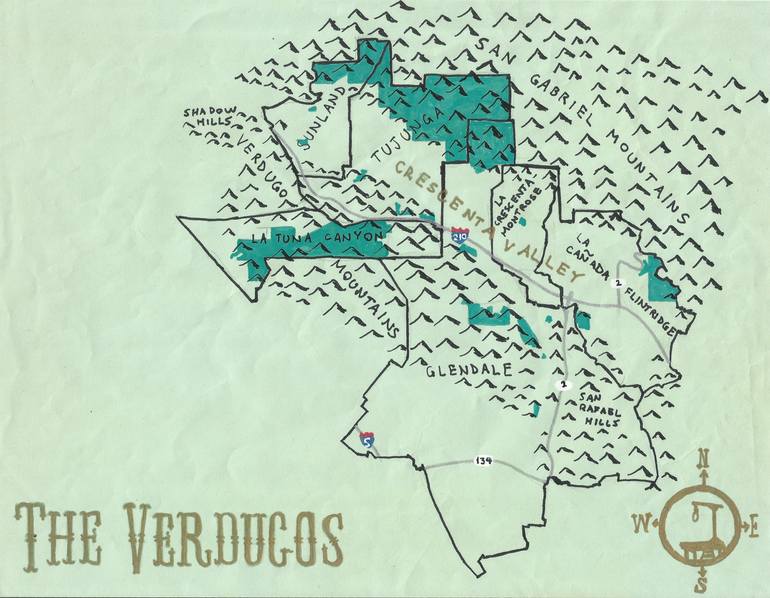
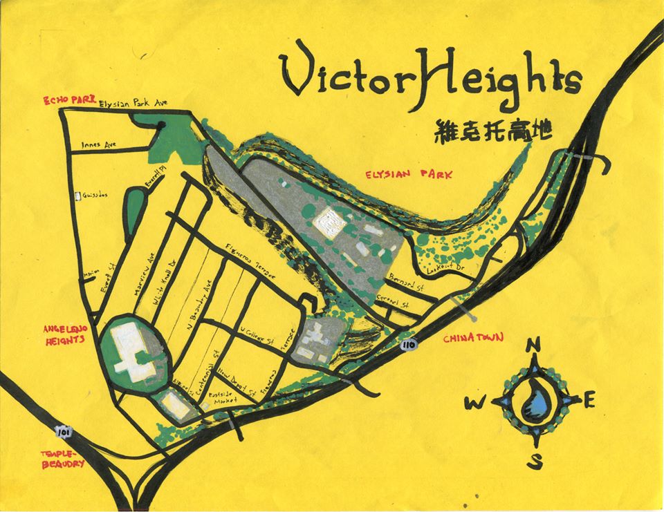
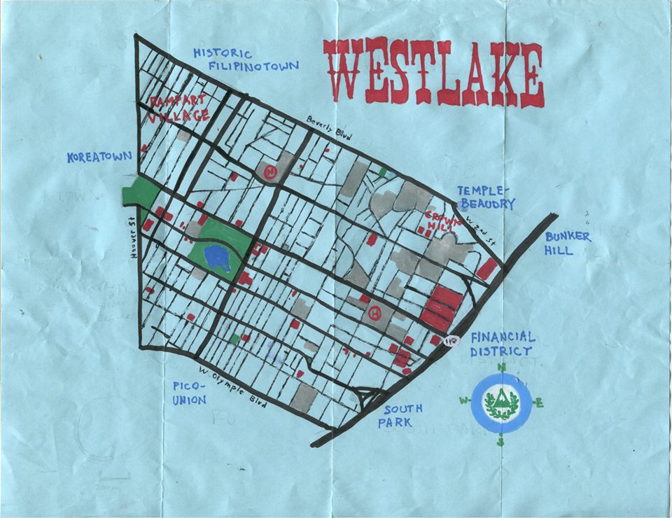
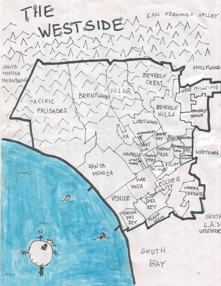
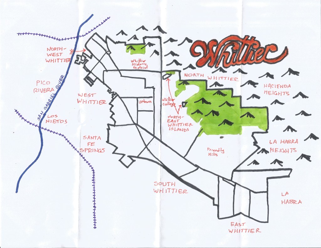
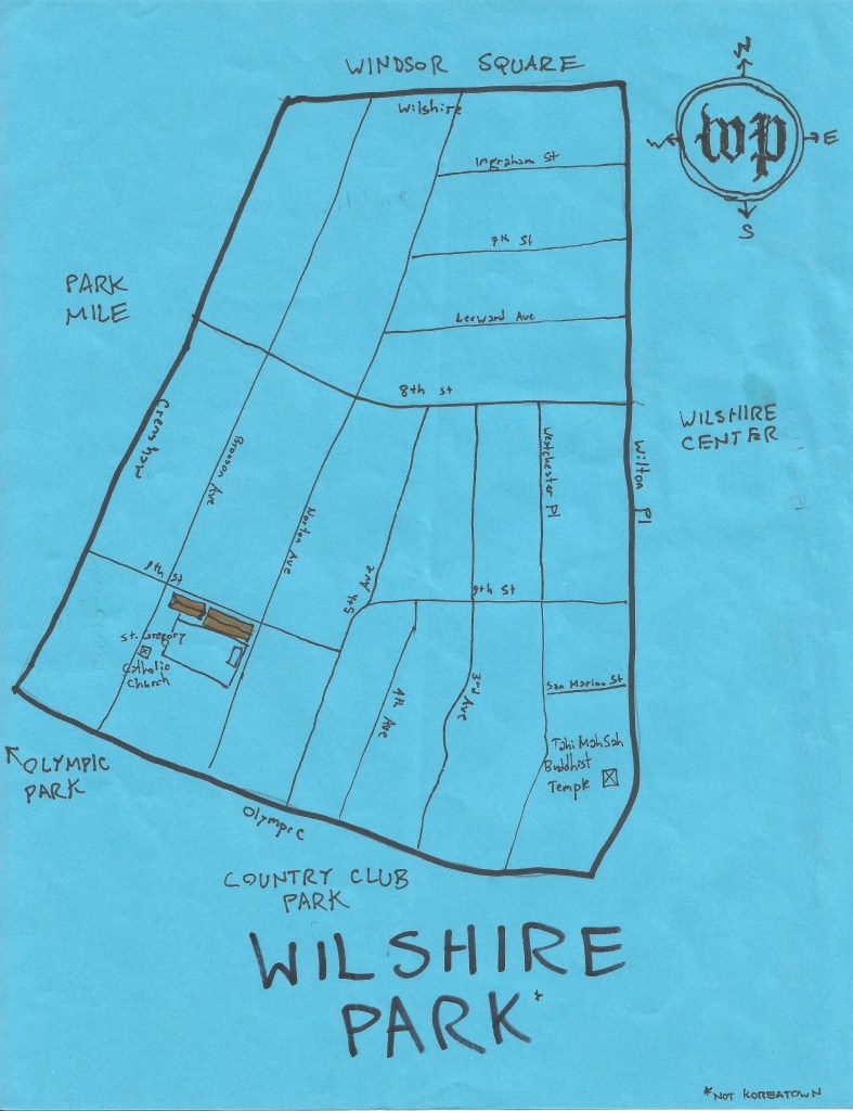
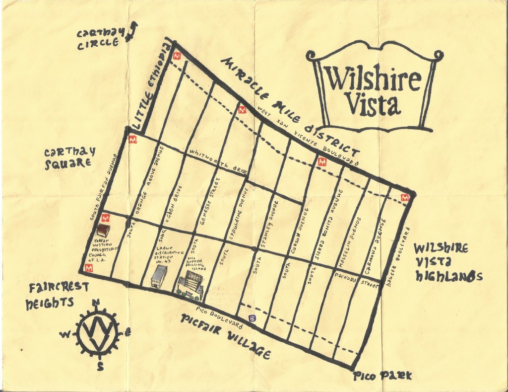
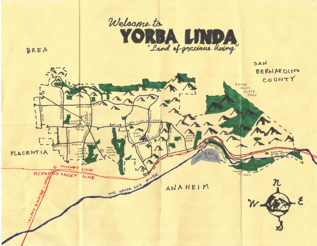
Pendersleigh & Sons Cartography’s Map of AnaheimPendersleigh & Sons Cartography’s oil paint and ink map of Ascot Hills ParkPendersleigh & Sons Cartography’s Map of Bunker HillPedersleigh & Sons Cartography’s map of the Calvin S. Hamilton PedwayOil and ink map of Compton, 2011 — California Fool’s Gold — Exploring Compton, Los Angeles County’s Hub CityPendersleigh & Sons Art Show at 1650 Gallery, Echo Park, Los Angeles, California.Pendersleigh & Sons Cartography’s ink and oil paint map of Elysian ParkPendersleigh & Sons Cartography’s map of the Far EastsidePendersleigh & Sons Cartography’s map of Franklin HillsPendersleigh & Sons Cartography’s map of Granada Hills (ink and correction fluid, 2008 and 27 November 2017)Ink map of Hancock Park (California Fool’s Gold — Exploring Hancock Park)Pendersleigh & Sons Cartography’s Map of the Historic CoreWatercolor and Ink map of Korea (by Pendersleigh & Sons Cartography)Pendersleigh & Sons Cartography’s map of KoreatownPendersleigh & Sons Cartography’s Map of Koreatown and its mallsOil paint and ink map of Laurel Canyon (California Fool’s Gold — Exploring Laurel Canyon)Pendersleigh & Sons Cartography’s oil paint map of Little ArabiaPendersleigh & Sons Cartography’s oil paint map of Little Italy (prints available from 1650 Gallery)Pendersleigh & Sons Cartography’s map of Little SeoulPendersleigh & Sons Cartography’s map of the Purple Line ExtensionPendersleigh & Sons Cartography’s map of Manchester Square, based on the Naming Neighborhoods ProjectPendersleigh & Sons Cartography’s oil paint map of the Expo Line (Phase 2)Pendersleigh & Sons Cartography’s map of Metro’s Gold Line Foothill Extension Phase 2APendersleigh & Sons Cartography’s map of the Green LinePendersleigh & Sons Cartography’s map of the likely route of the Green Line South Bay ExtensionPendersleigh & Sons Cartography’s map of the Crenshaw Line.Pendersleigh & Sons Cartography’s map of Midtown Los AngelesPendersleigh & Sons Cartography’s Map of Montecito HeightsPendersleigh & Sons Cartography’s map of Monterey ParkPendersleigh & Sons Cartography’s map of North HollywoodPendersleigh & Sons Cartography’s Map of North Orange CountyPendersleigh & Sons Cartography’s map of Northwest Los Angeles (or Northwest County). Sandberg is/was located northeast of the label, “Ridge Route.”Pendersleigh & Sons Cartography’s oil paint map of Orange CountyPendersleigh & Sons Cartography’s Map of the San Fernando Valley (available on merchandise from Cal31 and art prints from 1650 Gallery)Pendersleigh & Sons Cartography’s Map of San PedroPendersleigh & Sons Cartography’s ink and watercolor map of Santa Barbara, 2021. Available as a print or on merch.Oil paint map of Scotland, 2014 — The 50 Best Scottish Bands of All TimePendersleigh & Sons Cartography’s large watercolor map of Southern California, including all major passenger rail lines.Pendersleigh & Sons Cartography’s map of TaiwanPendersleigh & Sons Cartography’s Map of Victor HeightsPendersleigh & Sons Cartography’s oil paint map of WestlakePendersleigh & Sons Cartography’s map of Westwood Pendersleigh & Sons Cartography’s map of Yorba Linda
Eric Brightwell is an adventurer, essayist, rambler, explorer, cartographer, and guerrilla gardener who is always seeking paid writing, speaking, traveling, and art opportunities. He is not interested in generating advertorials, cranking out clickbait, or laboring away in a listicle mill “for exposure.”


8 thoughts on “Pendersleigh & Sons Cartography”