

INTRODUCTION
I finally visited and explored Wilshire Vista. I say “finally” because, at the time of writing, it’s the most voted-for neighborhood ever and has been for a little while now. OK, it’s only received nineteen votes — but even with about 800 total votes cast, there are so many Southern California communities that nineteen for a single one is the current record. I have no way of knowing why people cast the votes for the communities which they do — but each computer/IP address is only allowed to register one vote so I’m led to believe that either nineteen people have rallied for the neighborhood — or alternately that Russian bots have somehow managed to infiltrate Surveymonkey. Whatever the case may be, here follows my exploration of Wilshire Vista.
The first people to arrive in what’s now Wilshire Vista were almost certainly the Paleoamerican ancestors of the Chumash, who arrived from the north at least 13,000 years ago. The Chumash were alone in Southern California for thousands of years, until Uto-Aztecan language-speaking people began to arrive from the east, including the Tongva, about 3,500 years ago. By then, Chumash villages were limited to the coastal areas along the mainland’s Pacific coast and the Channel Islands, offshore.
Spanish explorers arrived in 1542 and claimed the region for their empire but their conquest didn’t begin, in earnest, until 1769, when the first of 21 missions was established. In 1810, Mexico declared independence from Spain, and in 1823, Governor Luis Antonio Argüello granted Francisco Ávila the 17.96 km2 Rancho Las Cienegas, through which flowed the Los Angeles River until 1825, when it drastically altered course, moving its mouth from the Santa Monica Bay to the San Pedro Bay.

In 1848, as a result of the Mexican-American War, the United States took conquered much of Mexico, including all of California. California was made the 31st state in 1850. A claim for Rancho Las Cienegas was filed with the Public Land Commission in 1853. In 1870, what’s now Wilshire Vista was purchased by French rancher and former sailor, Joseph Masselin, who’d come to California during the Gold Rush and, having failed to find any precious metal, bought 120 acres (48.5 hectares) of land and turned his attention to dairy cows and beans. In 1921, John A. Vaughan and Walter G. McCarty bought some land west of Los Angeles from Masselin’s heirs and named it “Wilshire Vista,” a reference to a boulevard donated to the city by Henry Gaylord Wilshire in 1895.
Although the name suggests a view of the boulevard sometimes referred to as Los Angles’s “main street” or “spine,” it’s pretty much impossible to see Wilshire from any corner of the neighborhood today — although since its construction from 1968-1971, the Gin Wong-designed 39-story 5900 Wilshire has loomed like a beacon of that boulevard in the background. Looking south, one can make out the Baldwin Hills, and if I’d been consulted on the naming of the neighborhood I might’ve suggested “Baldwin Hills Vista.”
Wilshire Vista was annexed by the city of Los Angeles in February 1922 as part of the La Brea Annexation. In late October of that year, lots of Vaughan and McCarty’s tract went on sale. Most of the development’s selling points, as touted in initial advertisements, hinged not on neighborhood amenities, of which there were relatively few — but rather to its proximity to other places. It was variously promoted as being “20 minutes from Broadway” and “an eight minute walk to Los Angeles High School. Mention was made of its sewer network and concrete sidewalks. The promoters also mentioned its proximity to the Page Military Academy and “convenience to the city and beaches via the boulevards.” Mention was invariably made of “the promising of a car line,” which (since there was already a Pacific Electric (PE) line in existence) must’ve been a reference to Los Angeles Railway’s (LARy), streetcar network.
Although they’re more often romanticized today, PE’s trains were never as popular as LARy’s streetcars with the Angelenos who actually rode them. PE’s interurban red cars were somewhat more akin to commuter rail, connecting as they did far-flung towns and toonervilles (suburbs) using private right-of-ways, such as San Vicente Boulevard, which form’s Wilshire Vista’s northern border. LARY’s yellow streetcars, on the other hand, operated along streets within Los Angeles, charged lower fares, and enjoyed a much higher ridership.
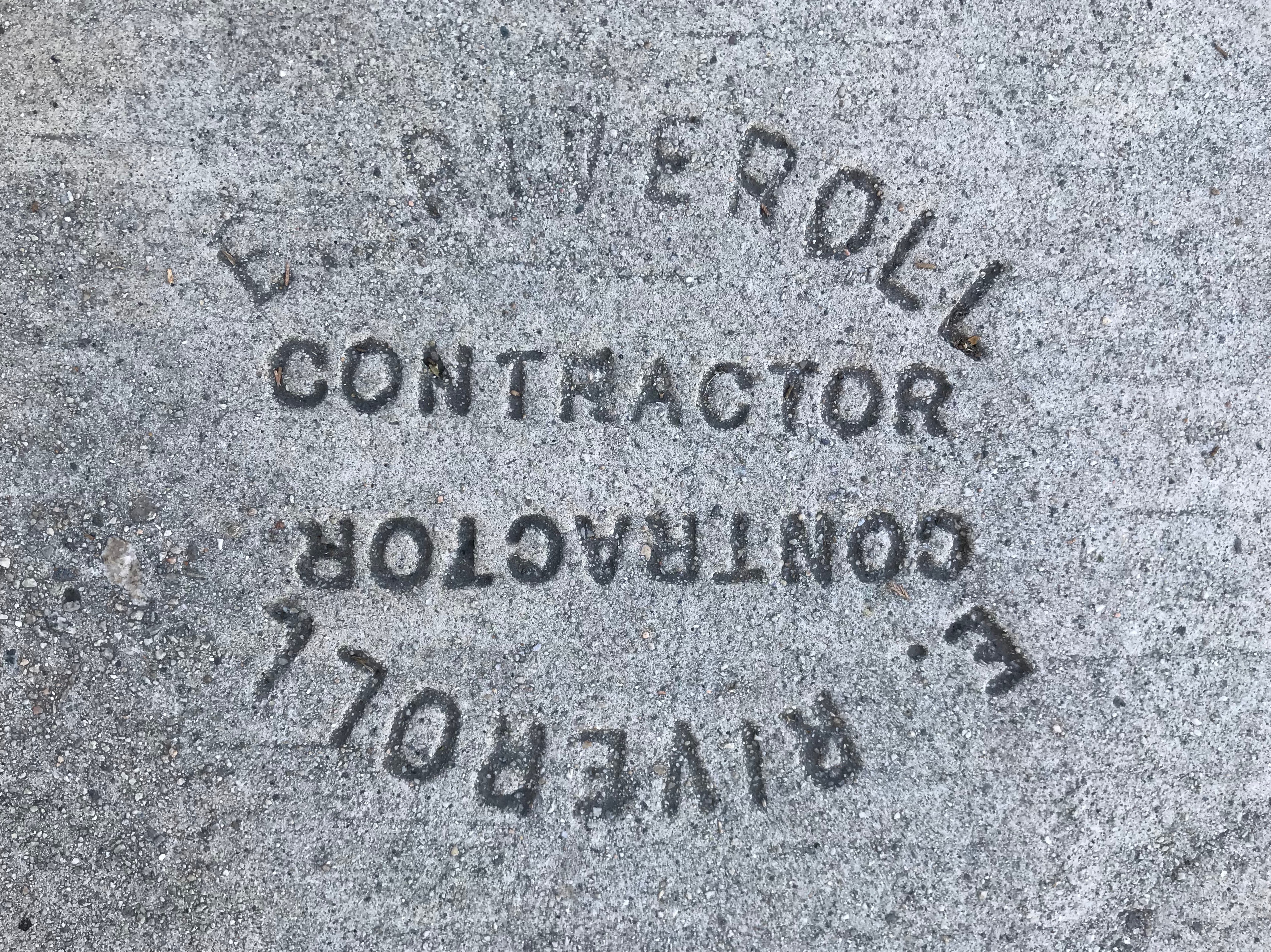
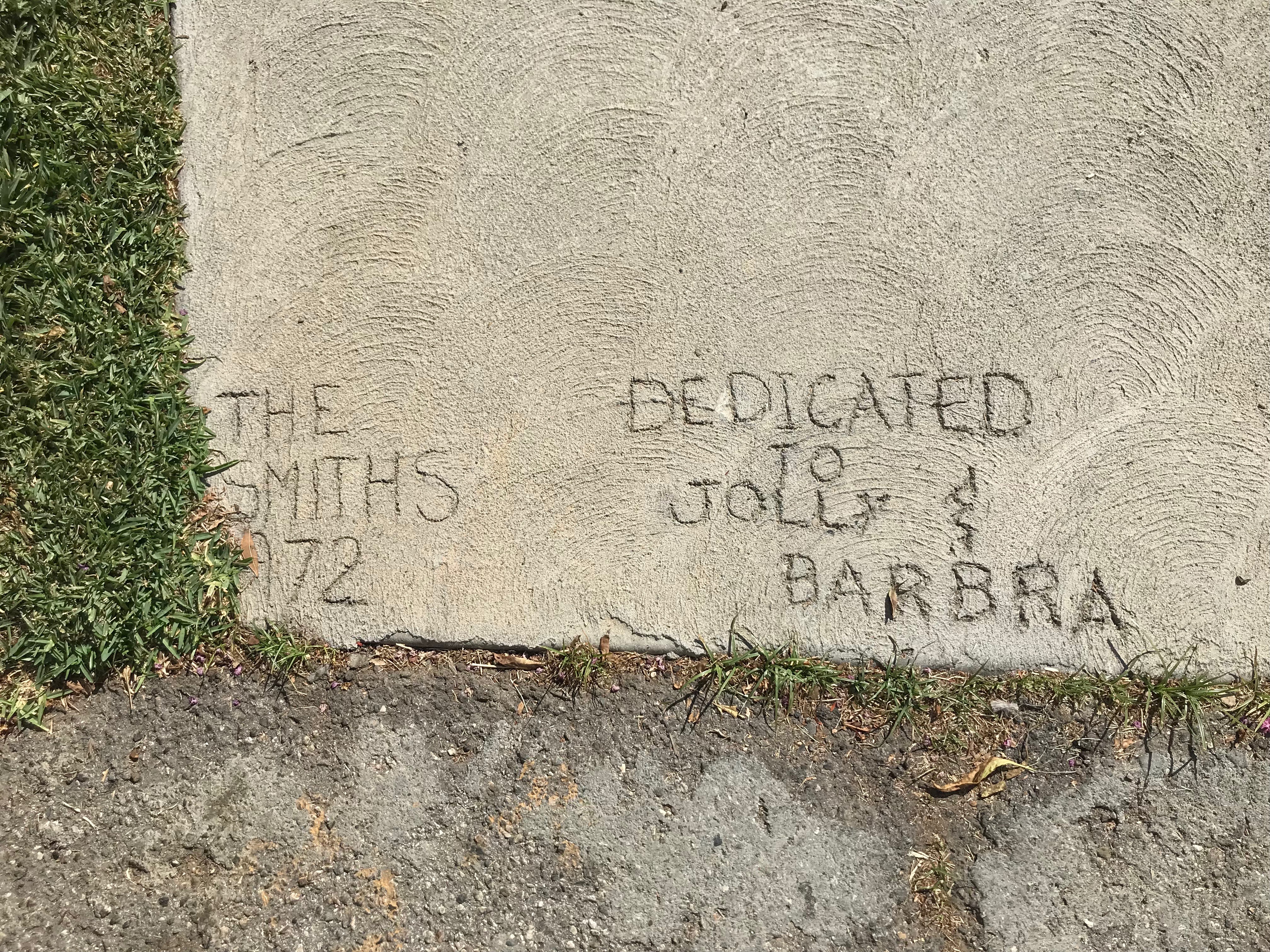
As someone who walks a lot, I always keep an eye on the sidewalk for love initials, classic rock logos, contractor stamps, &c. I spied a few stamps from E. Riveroll & Company, which was sufficient to lead me down a bit of a rabbit hole. E. Riveroll was Elfego Riveroll, the son of Manuel Riveroll — a friend of Maximilian I of Mexico during the Second Mexican Empire. His stamps can be seen from Beverly Hills to Manhattan Beach and his family home still stands in the charming Alvarado Terrace section of Pico-Union. In 1905, Elfego was still a citizen of Mexico living in the US, and he patented a new iron smelting process. In 1910, he married Georgia Rachel Youngblood. In 1924, his company built the Grand Olympic Auditorium. He died in 1956 and was interred at the Chapel of the Pines Crematory.
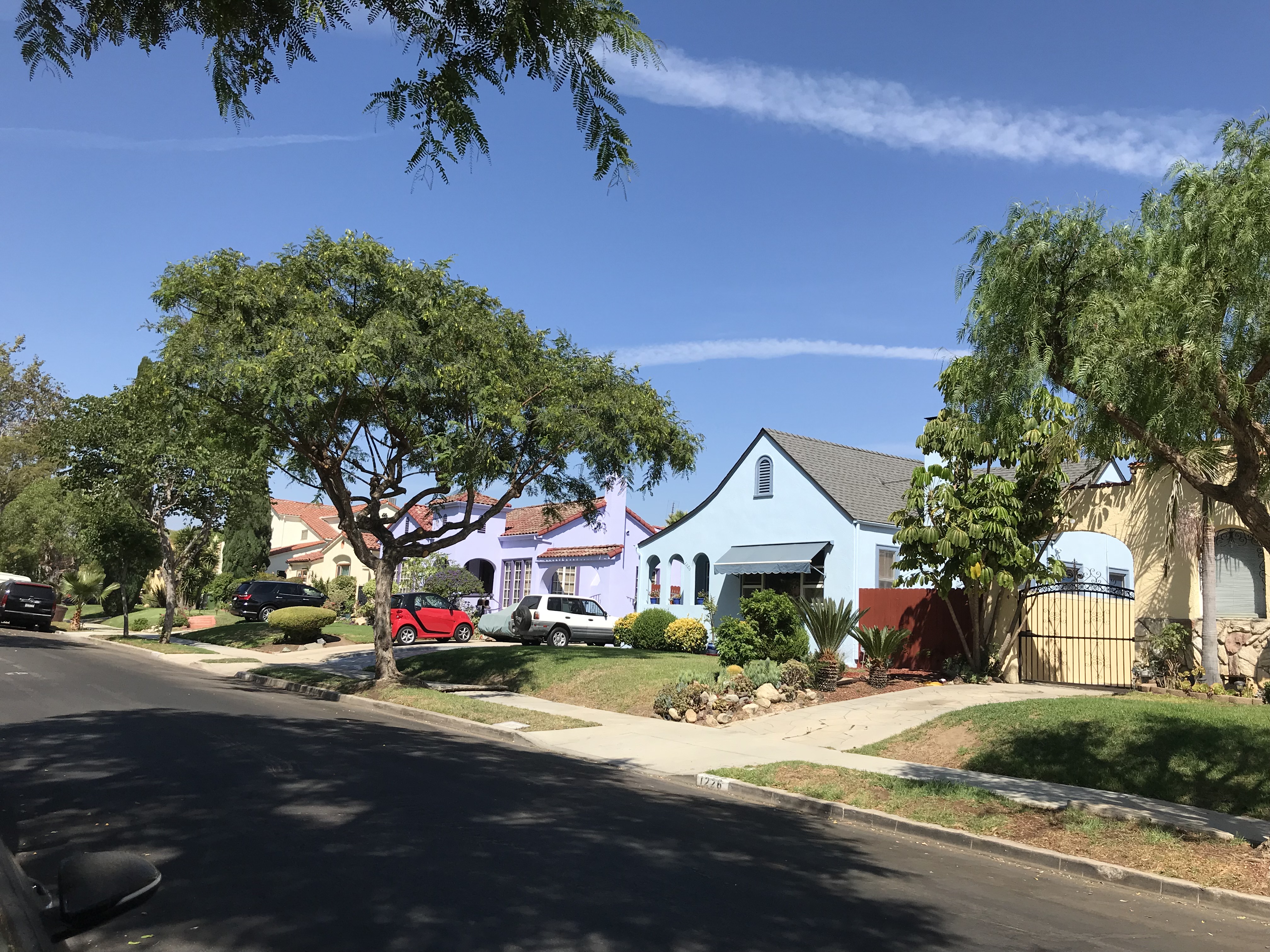
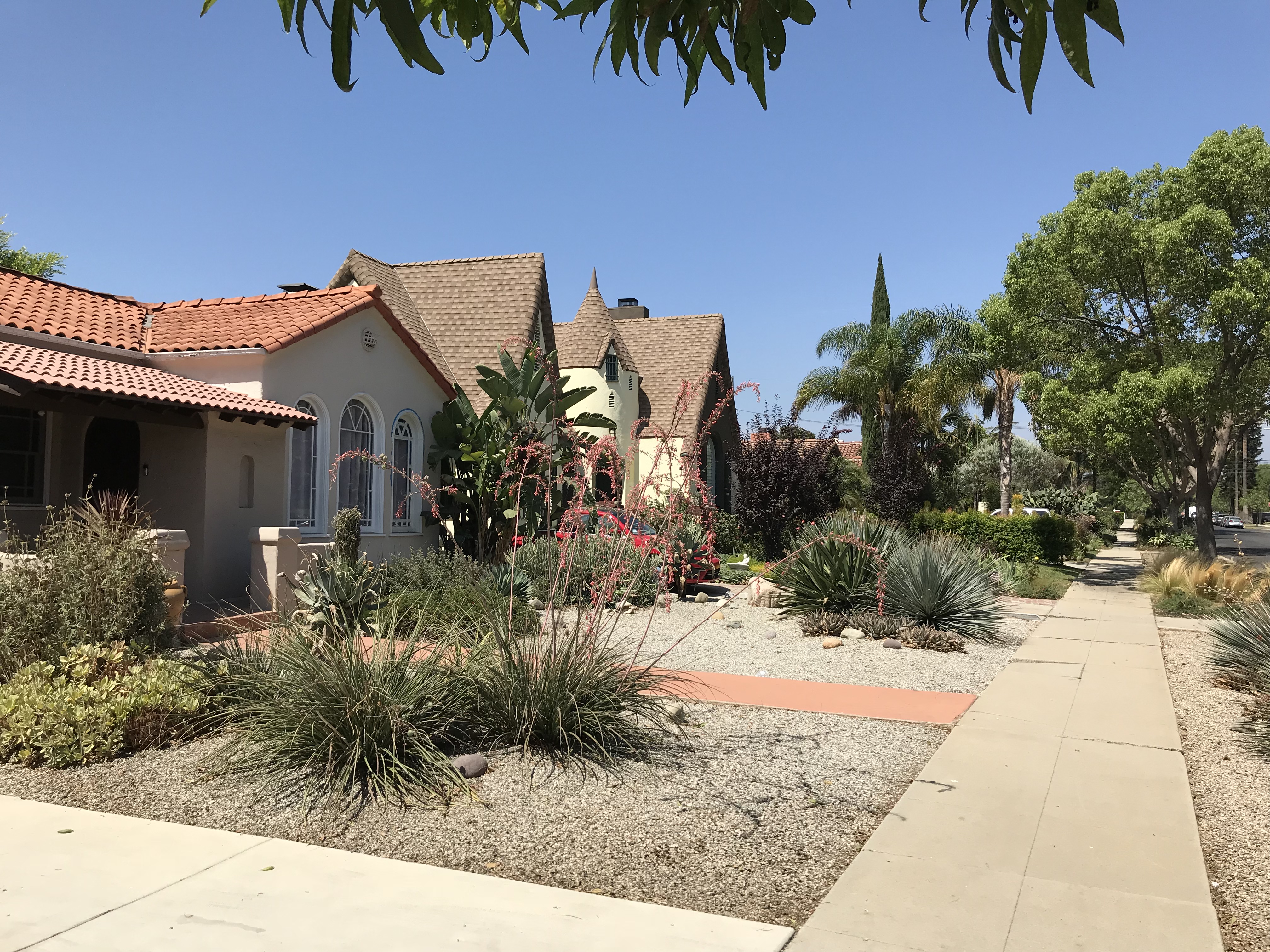
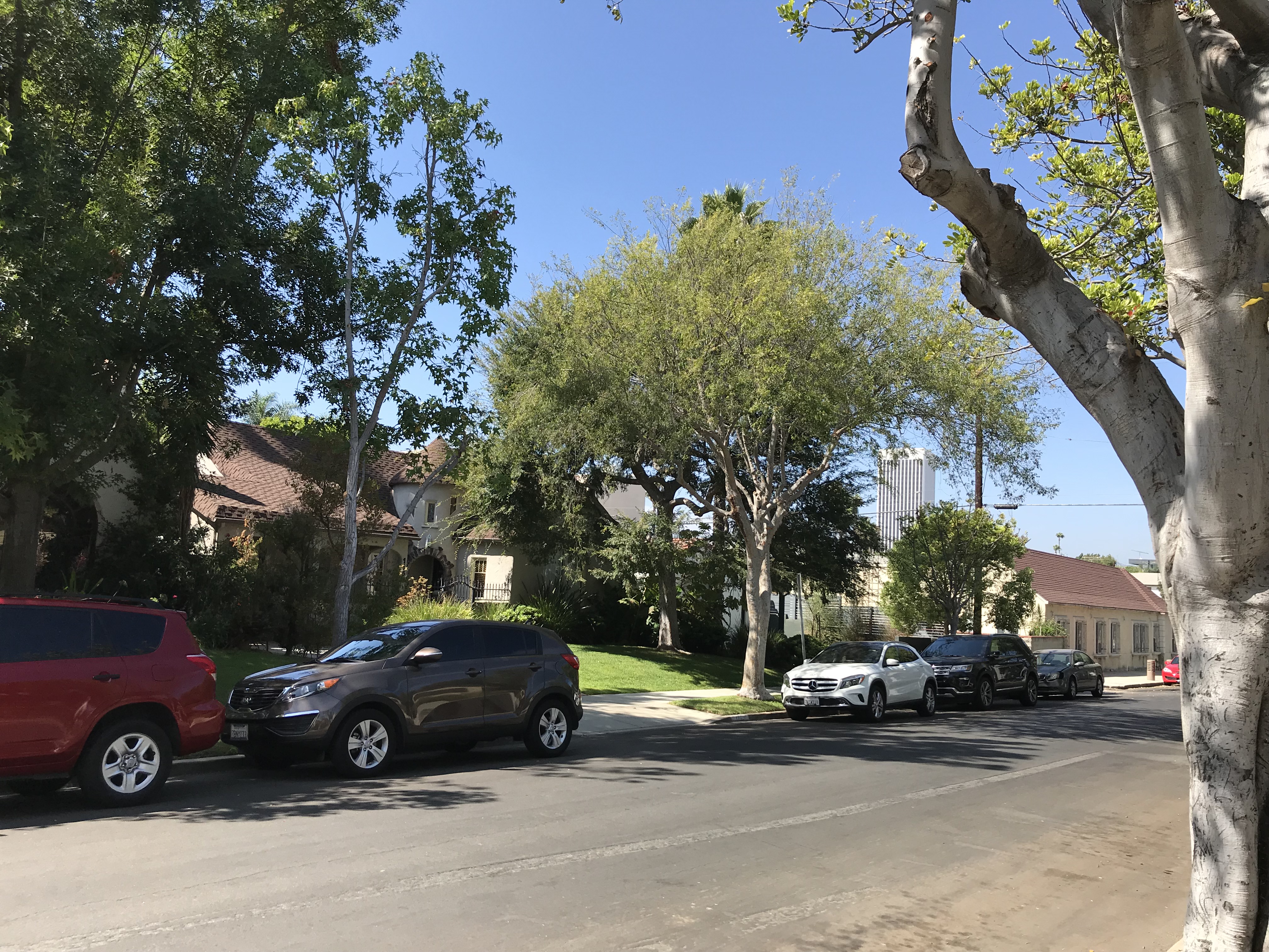
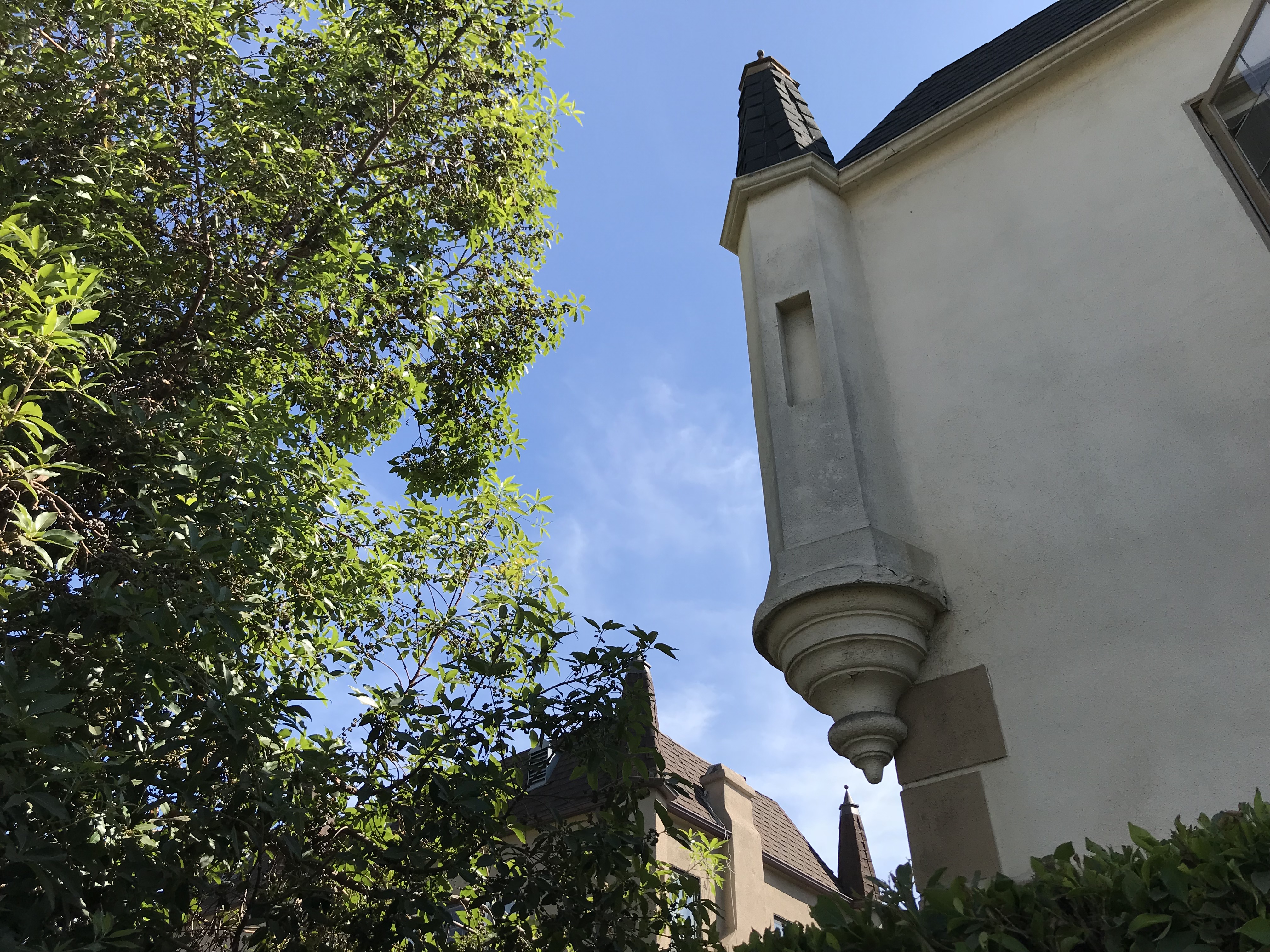
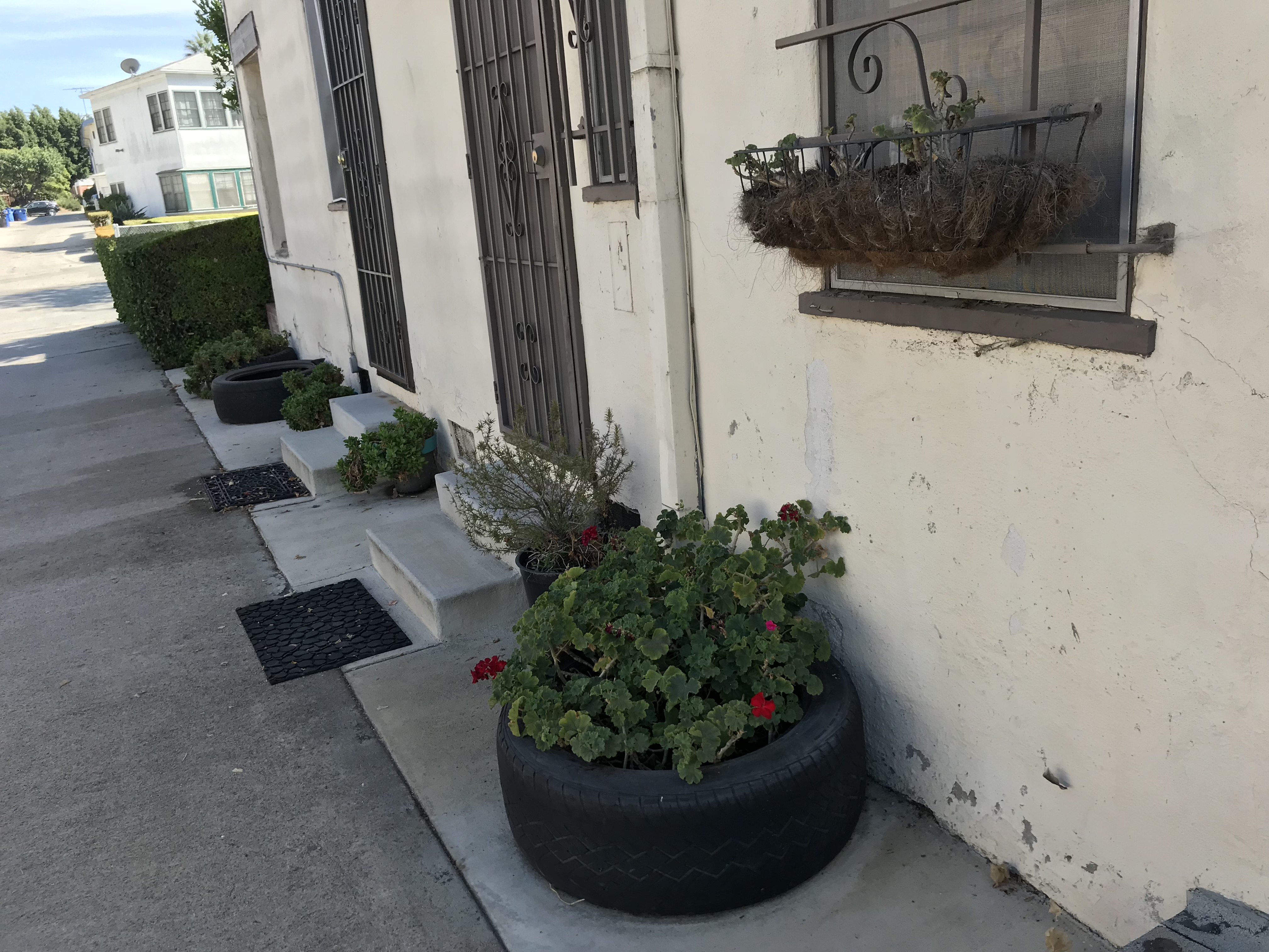
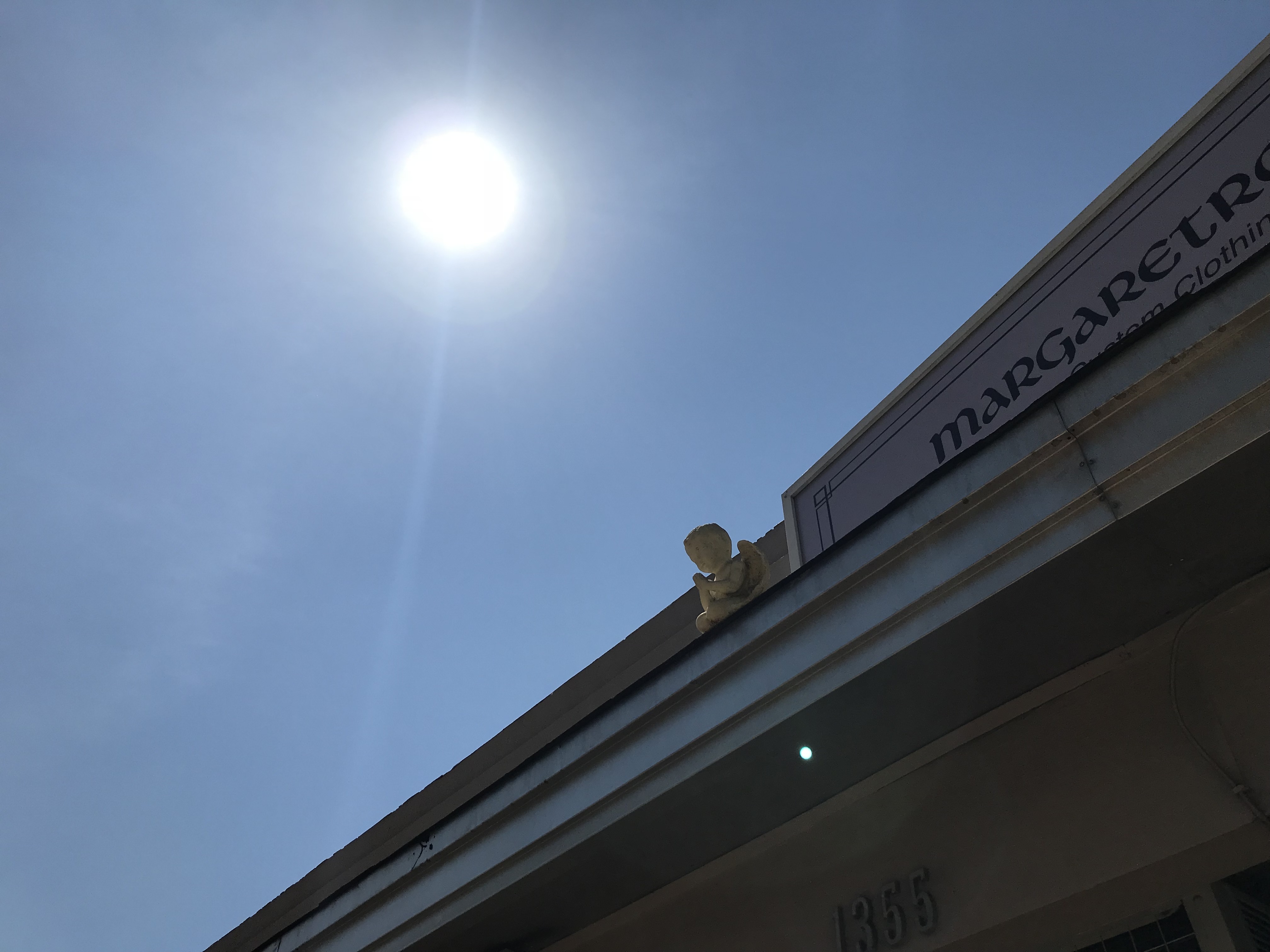
Today Wilshire Vista remains overwhelmingly residential. There are no bars, karaoke boxes, billiard halls, post offices, bowling alleys, libraries, nightclubs, art galleries, or performance venues in the neighborhood. Most of the neighborhood consists of detached homes and low-rise apartments situated on quiet residential streets. Most of the homes were designed in either the Spanish Colonial or Tudor revival styles and were built from the mid-1920s through the mid-1930s by either the by either the Commercial Construction Company or the John A. Evans Corporation. Pico Boulevard, which forms the southern border, hosts nearly all of the neighborhood’s businesses, most of them housed in commercial buildings constructed in the 1940s or “mall era” shopping centers.

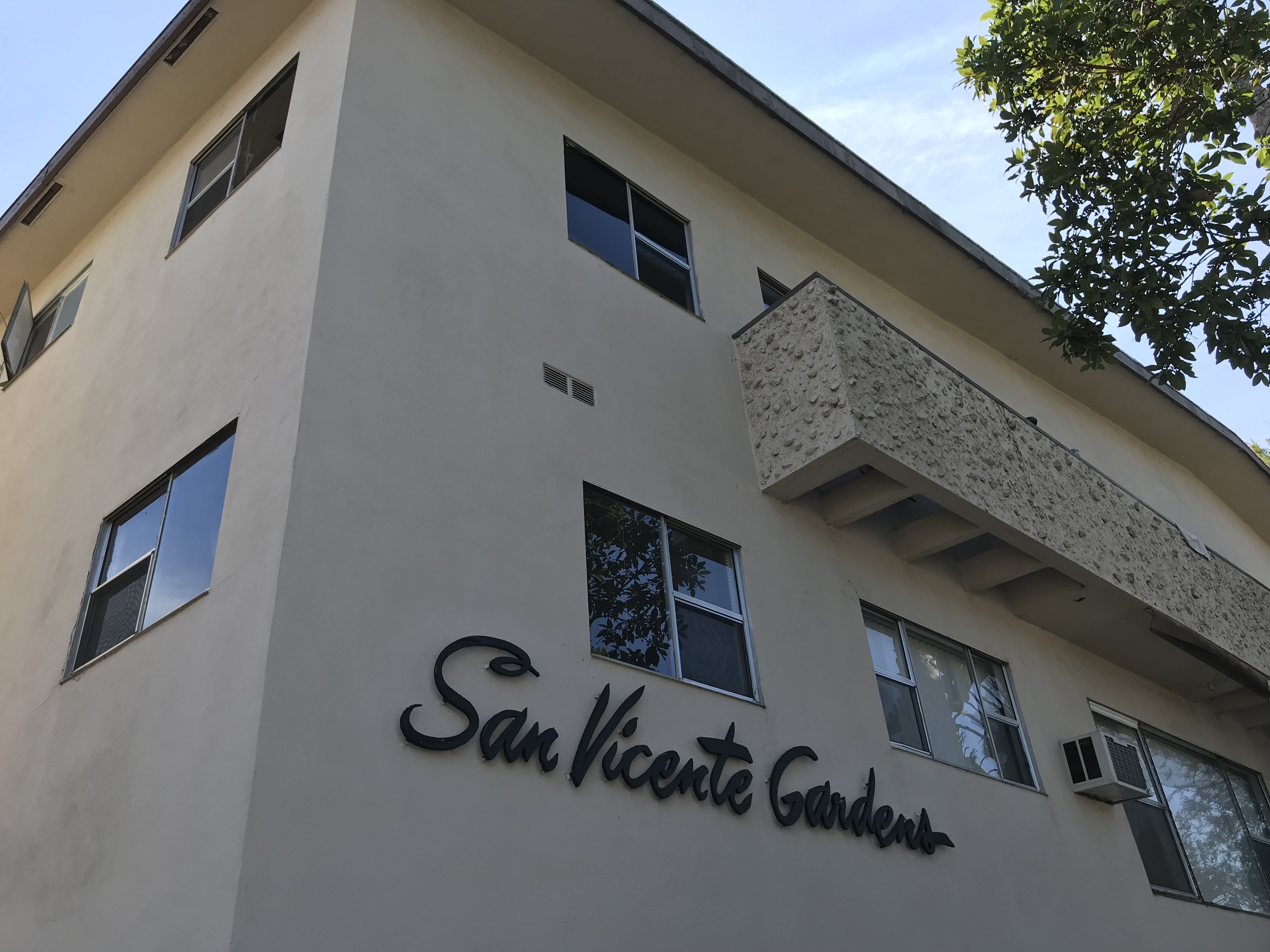
Most of the neighborhood’s modest apartments were built in the 1950s, although it’s usually safe to assume that Norman Revival apartments, or those painted chalky pink, were built in the preceding decade.
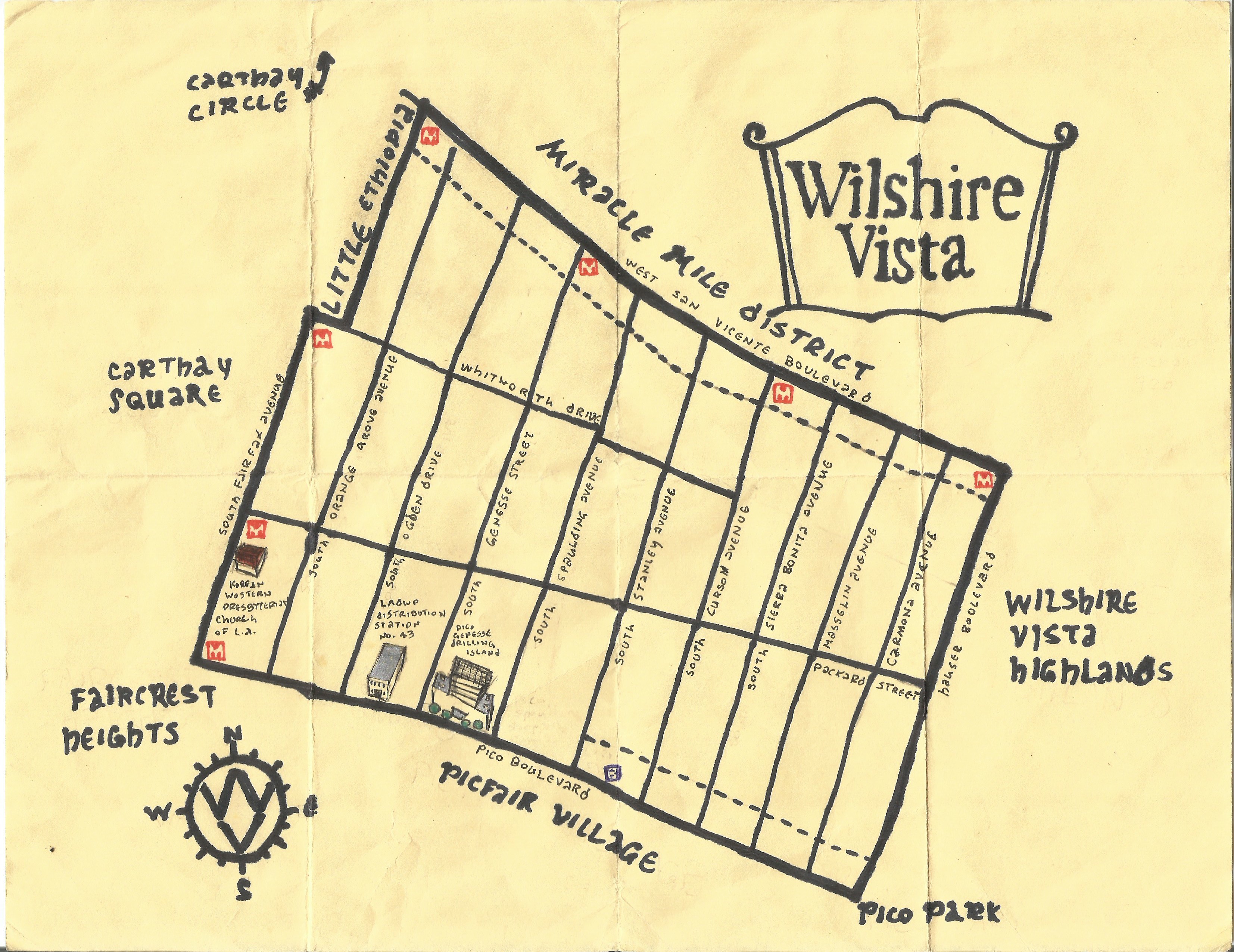
The neighborhood’s other borders are formed by Hauser Boulevard to the east, which hosts no businesses (although when I passed through, there was a fruit vendor on Packard Street offering his produce to the motorists crawling along the surprisingly traffic-choked route. Fairfax Boulevard forms the western border of the neighborhood but since the early 1990s, the overwhelmingly Ethiopian and Eritrean-operated businesses there have effectively seceded and thus, as Little Ethiopia, achieved a sort of de facto neighborhood independence.
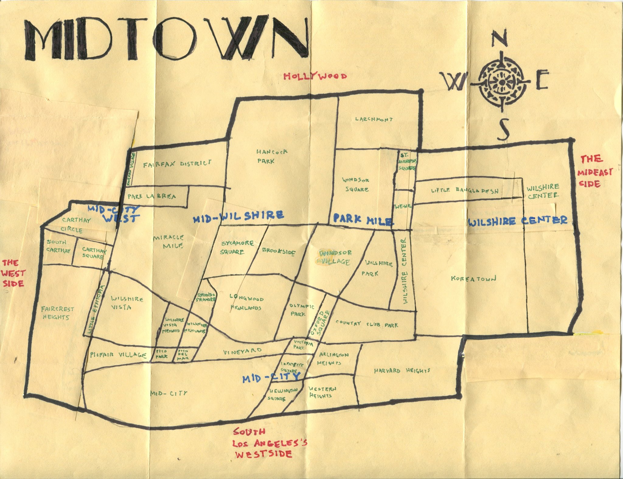
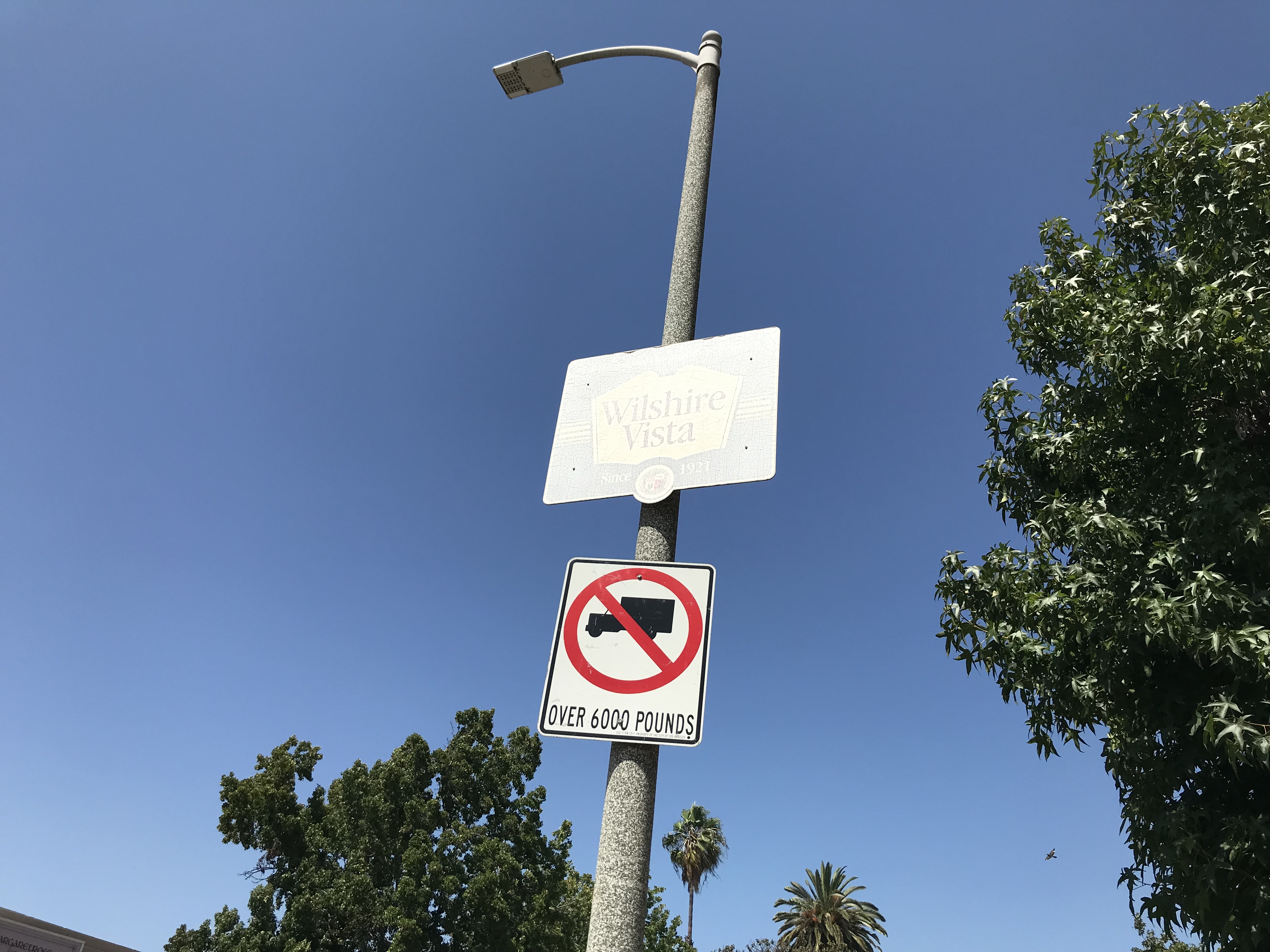
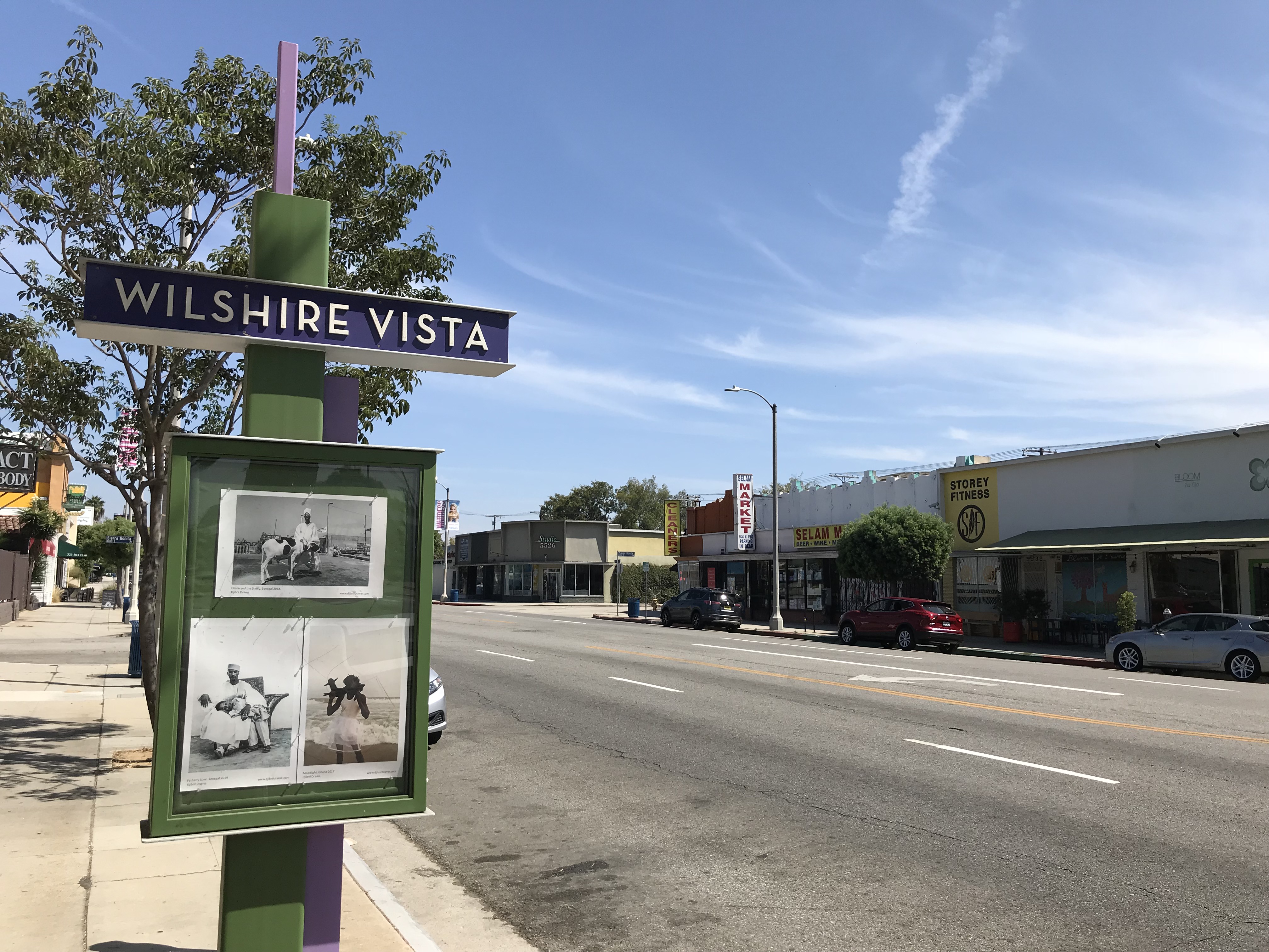
Wilshire Vista’s other neighbors include Carthay Square, Faircrest Heights, the Miracle Mile District, Picfair Village, Pico Park, and the similarly (but somewhat confusingly) named Wilshire Vista Highlands. References to the multi-neighborhood region of Midtown date back at least to 1935 — and yet more than once I’ve heard Angelenos (invariably ones who don’t live there) claim that no one refers to the region thus. Since the early 1970s, “Mid-City” began to overtake Midtown in regional usage, even if it’s not exactly synonymous (no one, for example, refers to Koreatown — undeniably located in Midtown — as being part of Mid-City). There are indications in business names (e.g. Hollywood Cigar and Miracle Mile Medical Center) as well as gang placas claiming “WS” that no one is in absolute agreement about the neighborhood’s geography and the only signs I saw proclaiming Wilshire Vista” were identical in design and include the cryptic tagline “a community of respect since 1921.”
What it was not, since 1921, was a neighborhood of racial diversity. Before World War II, the area — with the exception of servants — was exclusively white, thanks to the racially restrictive housing covenants which determined where Angelenos could live, based on their ethnicity. It was home, however, to a substantial foreign-born population of immigrants from Austria, Canada, England, Germany, Hungary, Poland, Romania, and Russia. The most common languages spoken were English, German, Russian, and Yiddish. Most residents were transplants from the Midwest and East, rather than California natives.
Wilshire Vista is now a rather diverse neighborhood. According to the website, City-Data — which I rightly or wrongly assume rightly acquires its data from a recent census — Wilshire Vista is home to 3,233 residents, .3% of whom were Native American, .9% identified as “other race,” 3% were mixed race, 6% were Asian-Pacific Islander, 13.9% were Latino of any race, 35.3% were non-Latino white, and 40.1% were black.
The “car line” originally promised to the Wilshire Vista’s first, potential homebuyers never did arrive. I don’t know whether or not Vaughan and McCarty made the promise in good faith; unscrupulous developers certainly weren’t above placing “sold” signs on unsold houses and promising public transit in order to spur purchases. Whatever the case, LARy’s Pico and First Street Line (and later P Line) never extended west of Rimpau Boulevard, where it terminated two kilometers east of the neighborhood’s easternmost edge. It was a popular line, however, and was sometimes blamed for siphoning transit users from PE’s Santa Monica via Sawtelle Line, which ceased operation in 1951. Today bus transit is provided in Wilshire Vista by Metro’s 30, 330, 28, Rapid 728, and Rapid 780 lines; and Big Blue Bus’s 7 and R7 lines.

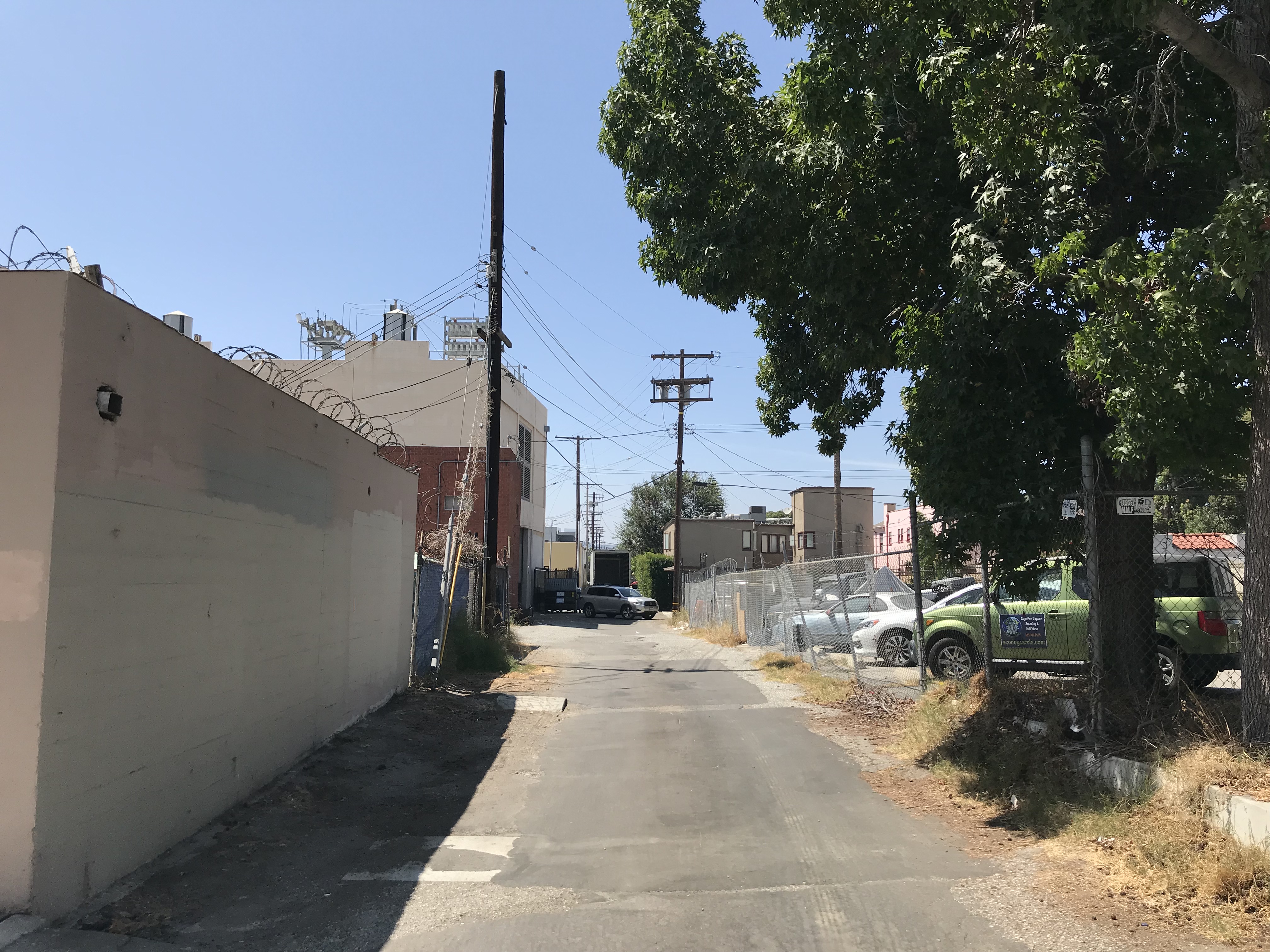

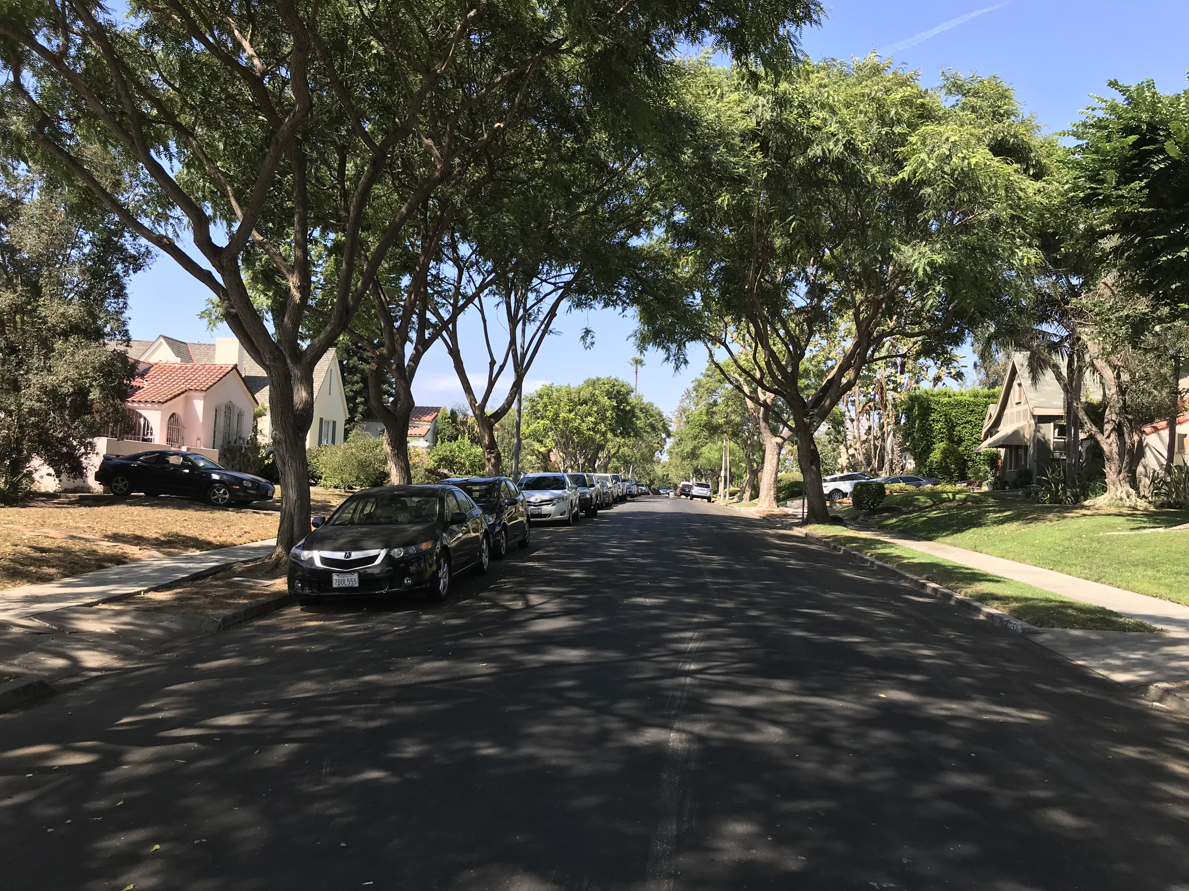
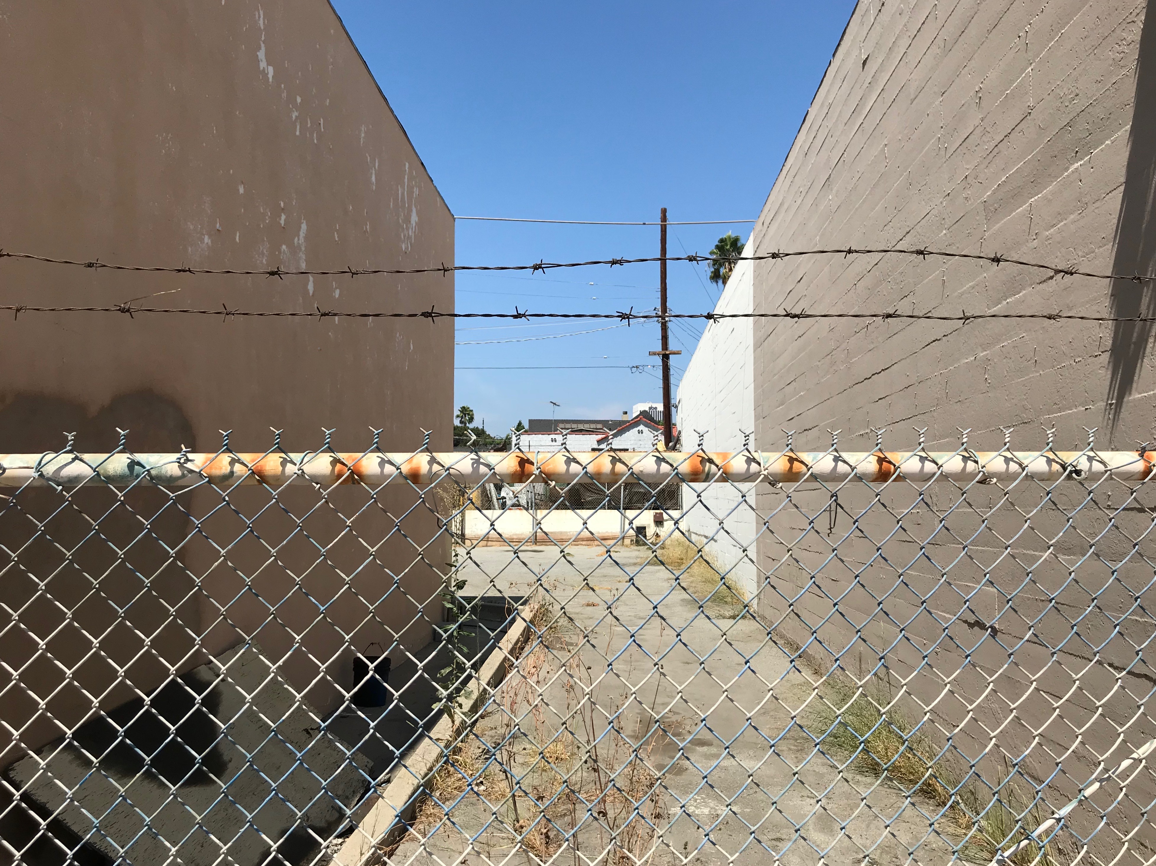
55 years later there are still no trains serving the neighborhood. Nor is there — the car-free explorer can’t help but notice — even a single section of bicycle lane on any of the neighborhood’s fifteen streets or lengthy, unnamed alleys. Nowhere is this car-centricity on more annoying display than on San Vicente Boulevard, a road created for a train and, at 38 meters wide, big enough to accommodate not only protected bicycle lanes but light rail lines, dedicated bus lanes, and fairly wide bioswales, all while retaining the landscaped median. Were it not for the cars, the road itself could be quite appealing, its wide median landscaped with a variety of trees and plants just begging for the sort of walking/jogging path it would accommodate if this were a street in Mexico City.

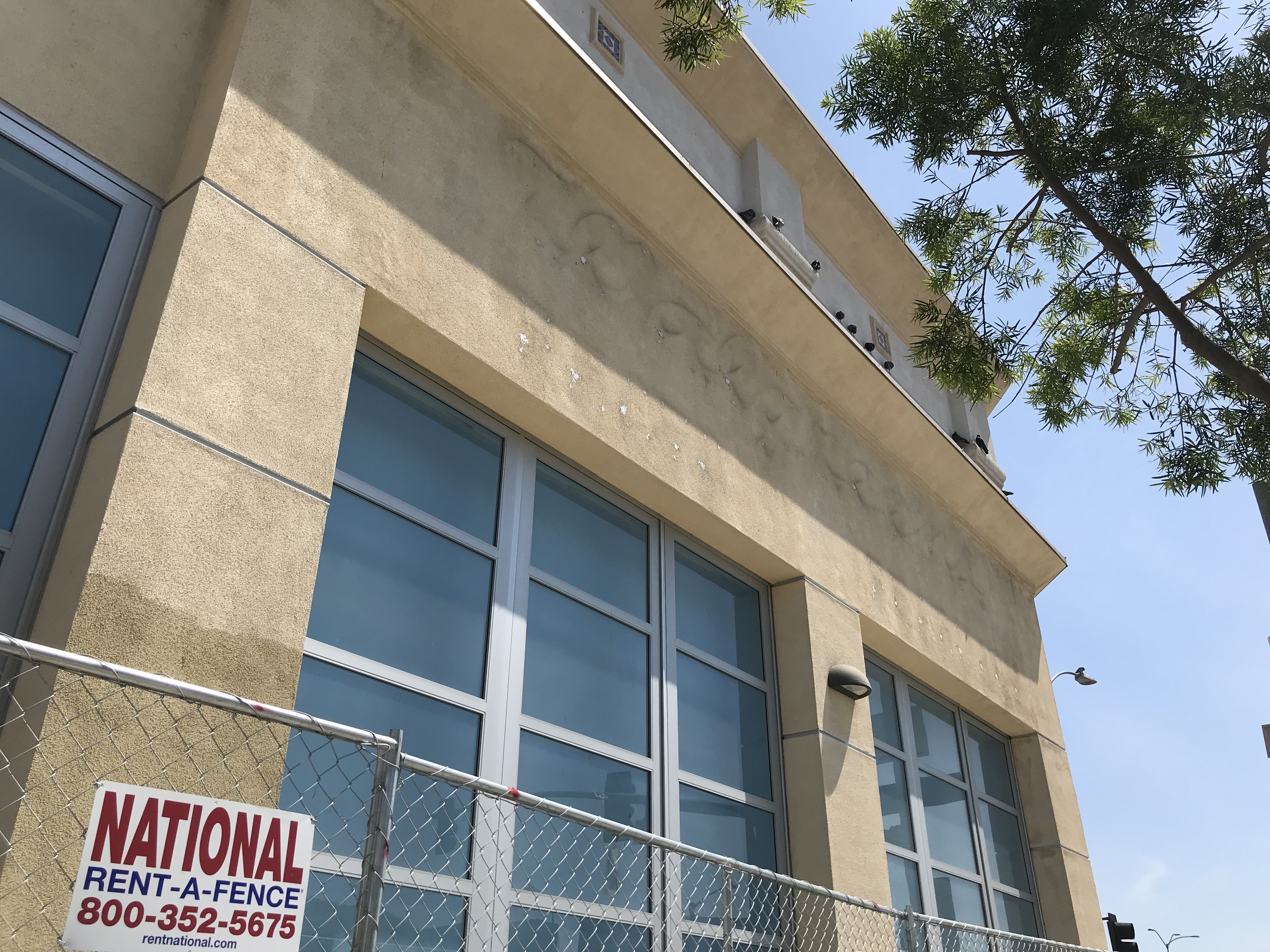
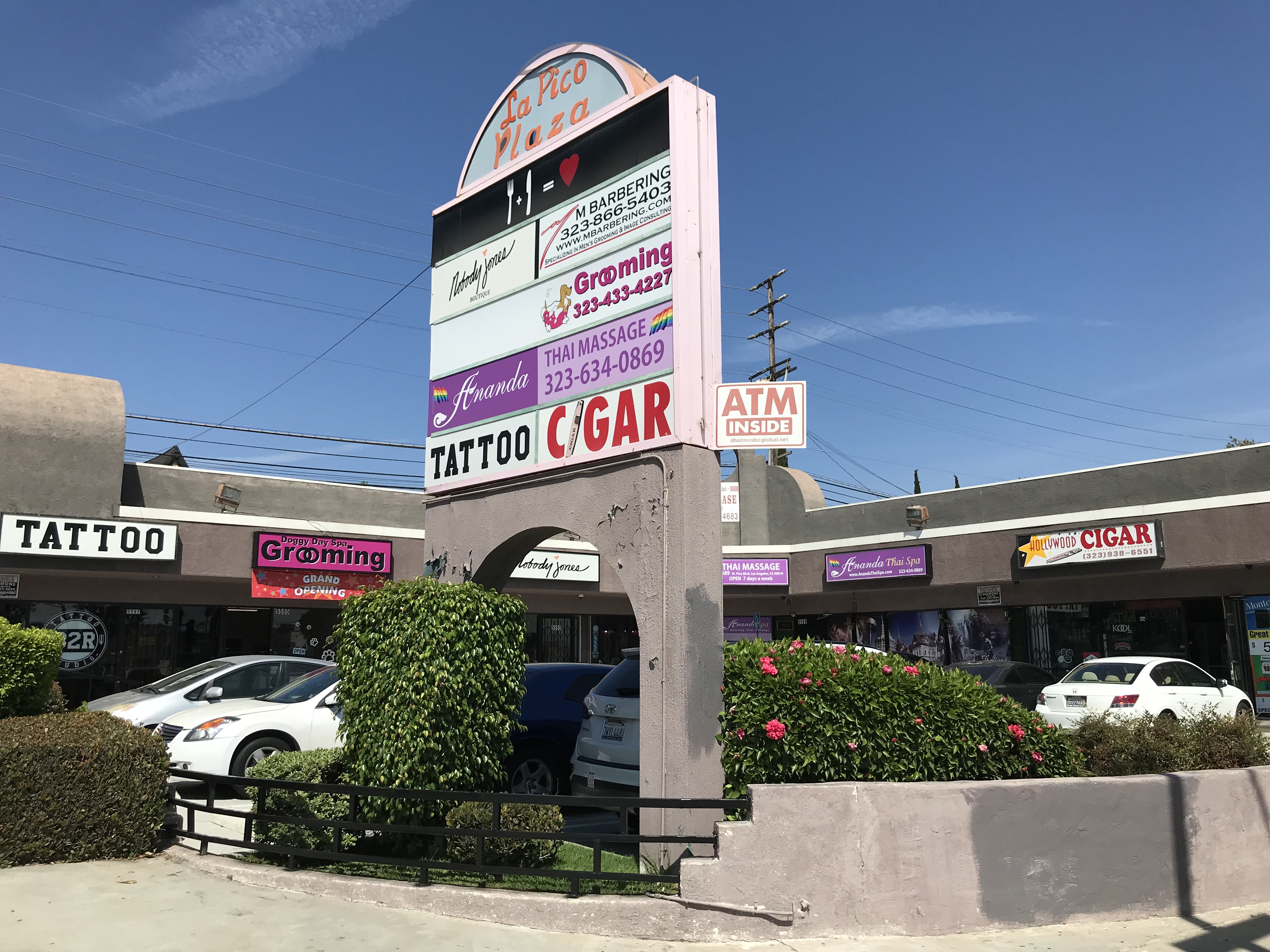
Pico, on the other hand, is the neighborhood’s only street that could be described as vibrant, even though many of the storefronts are currently vacant — including a fairly large, former Walgreens, built in 2008, but vacant since last year. I didn’t see a lot of people walking — but then, most of the businesses are the sort that attracts motorists on a specific mission, not rambling pedestrians. There are places selling upholstery, drapery, insurance, flooring, lighting fixtures, and offering printing, or computer repair. About a dozen of the street’s shops could broadly be described as providing maintenance, with about half offering car repair and the other half offering haircuts, styling, and massage.
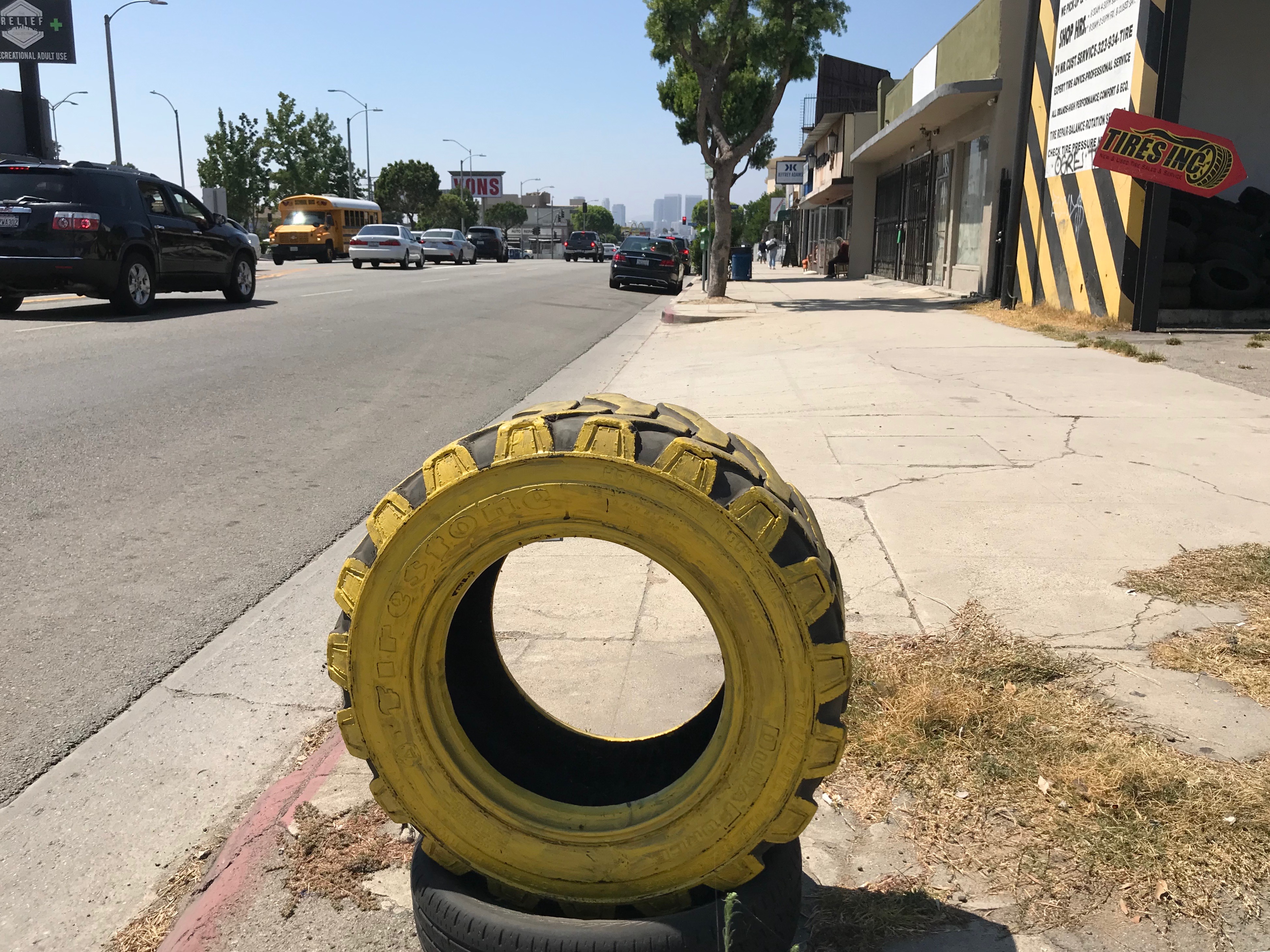
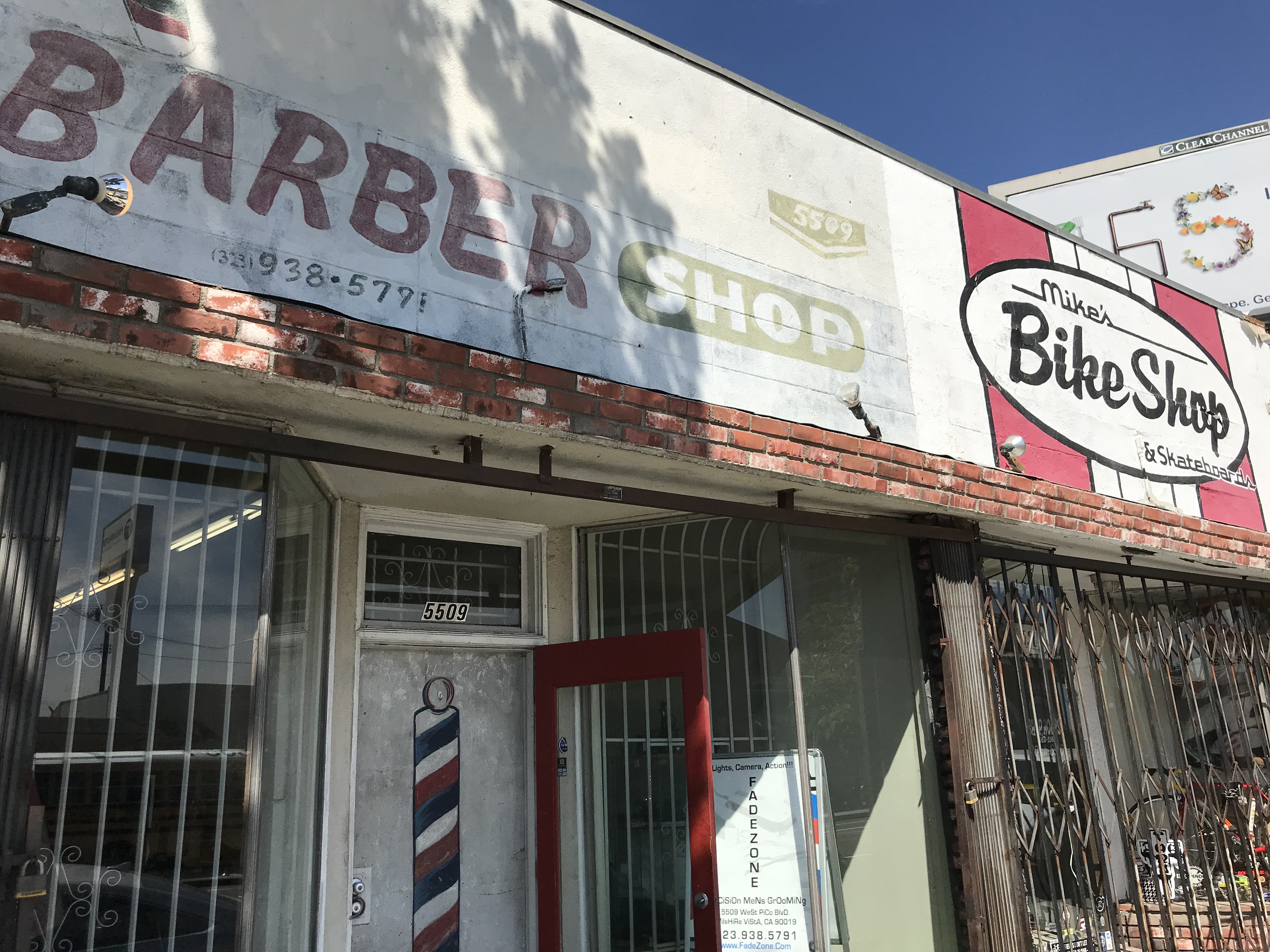
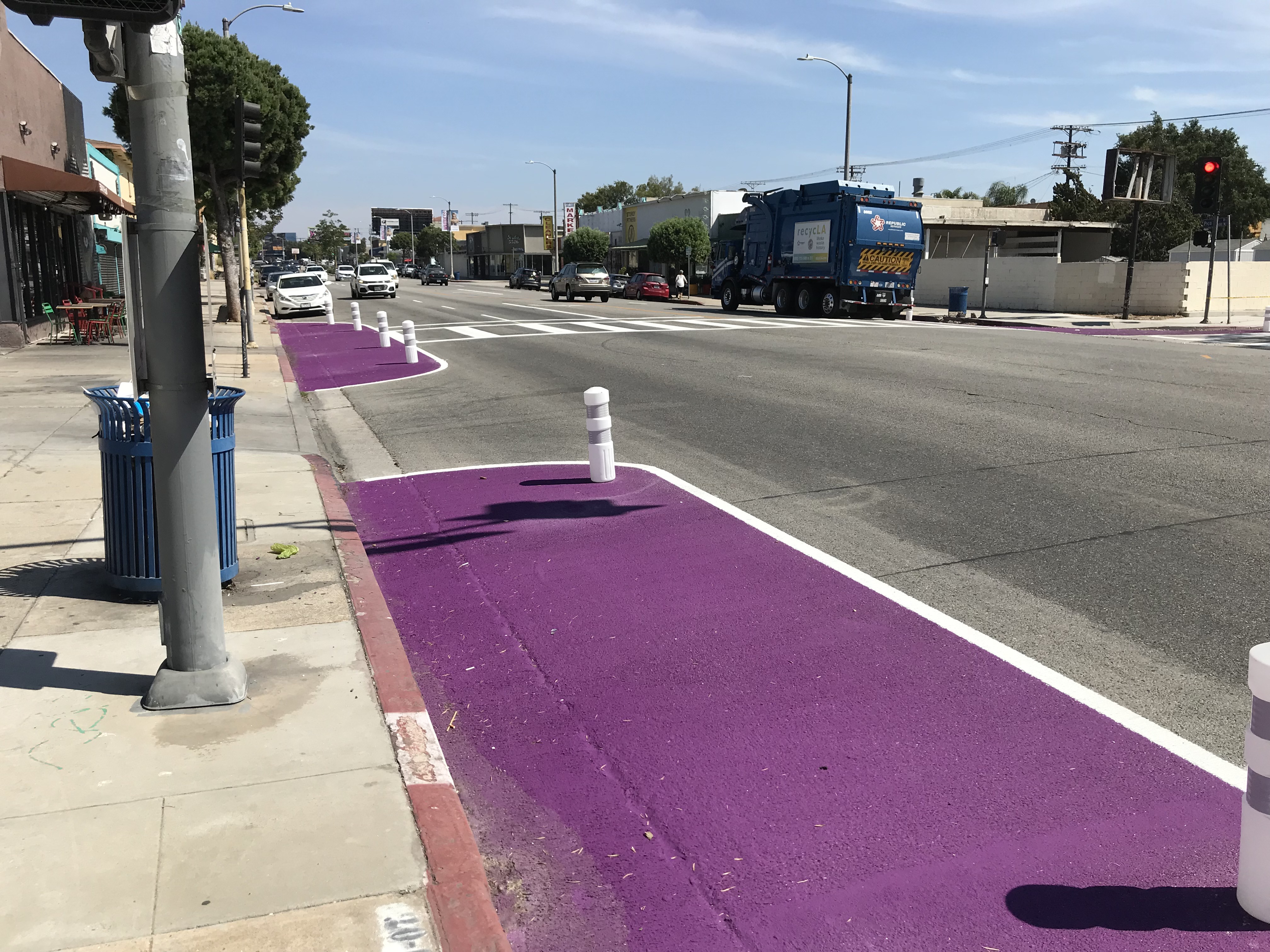
Most of the auto shops, I must point out, are not the sort of charming Streamline Moderne ones that some Angelenos value more than housing, rather they’re almost all the sort of cinderblock constructed Smog Check Revival style buildings that some Angelenos value more than housing. Although Pico is not as wide as San Vicente, it does accommodate a median, and has room for dedicated bicycle lanes, if only there was the political will necessary to overcome inertia (the neighborhood, part of the Los Angeles’s 10th Council District, is currently represented by Los Angeles City Council president, Herb J. Wesson Jr.). There are also two neighborhood bicycle shops — Mike’s Bike Shop and SoundCycles.
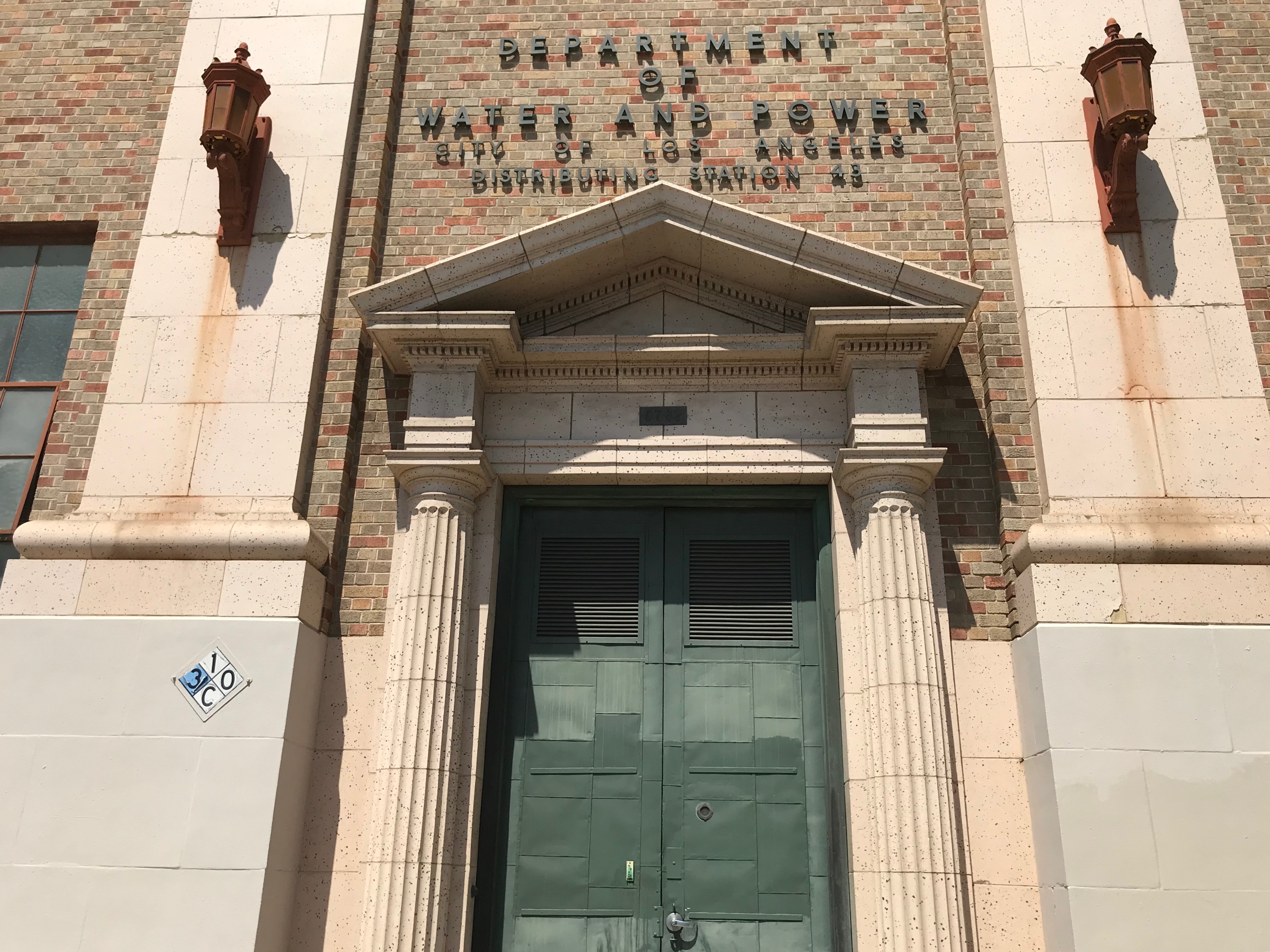
The homes in Wilshire Vista almost all possess undeniable architectural charms but one of the most appealing buildings in the neighborhood is the Los Angeles Department of Water and Power’s (LADWP) Distributing Station No. 43, which like so many LADWP buildings conveys a sense of being imposing, impregnable, and very mysterious. Although heavy metal doors had a peephole, I assumed that there was no on the other side. The building is engraved “A.D. 1927,” which is the date it was built for the LA Gas and Electric Co. That company and its properties were purchased by the Los Angeles Bureau of Power and Light in 1937, shortly before merging with the Bureau of Water Works and Supply and to create the LADWP. See also “Early Power Distribution Stations,” which includes photos of distributing station interiors that would look right at home in a photographic exhibition on “die Neue Sachlichkeit.”
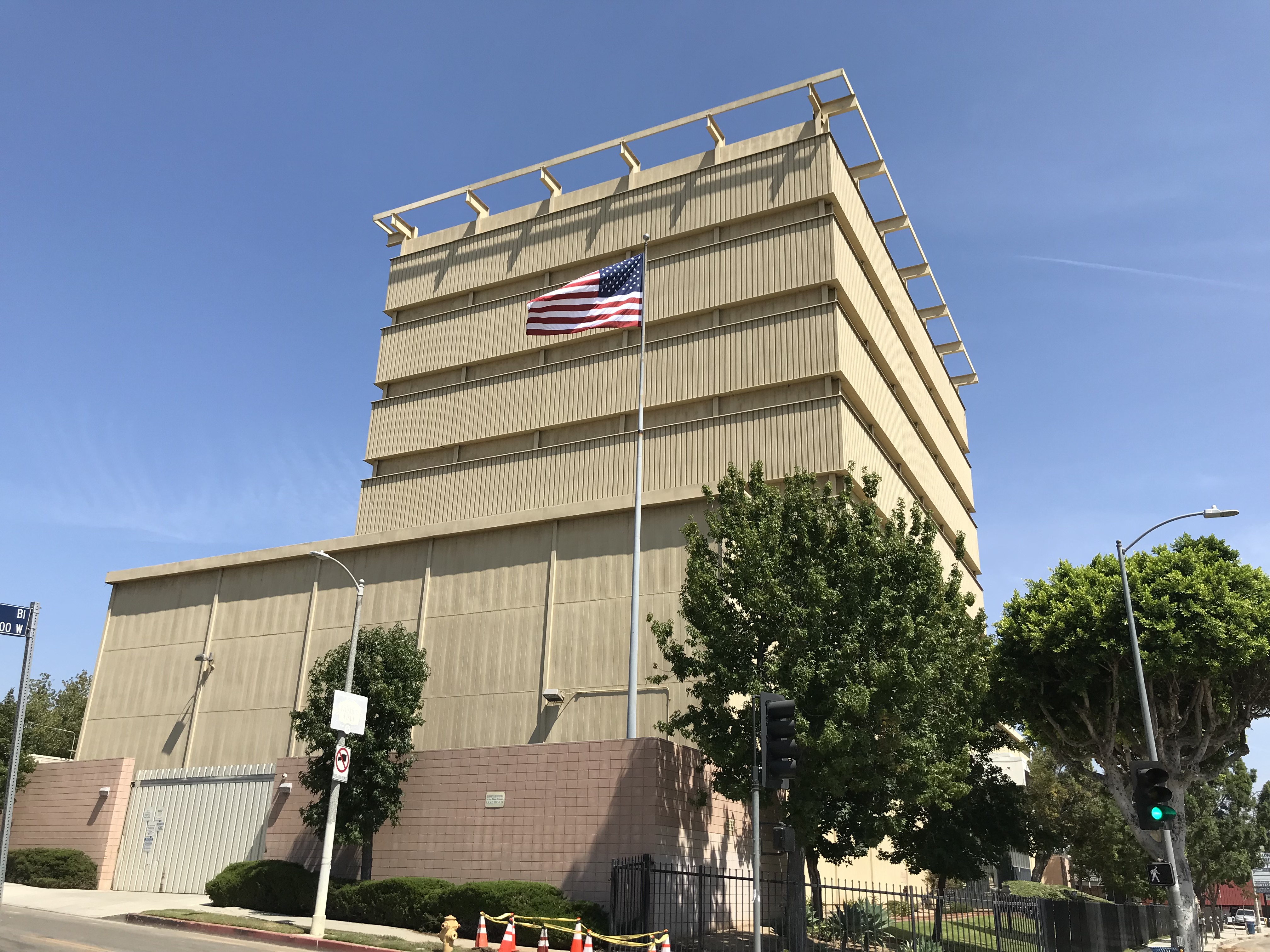
Even more intriguing than the distribution station is the Pico/Genesee Drilling Island, an oil well encased in what appears, at first glance, the architecture of a mid-rise office building. The Packard Well Site is one of four drilling islands still extracting oil from the Beverly Hills Oil Field so that we can keep the fossil fuel fire burning and drink beverages with plastic straws. The mostly windowless building constructed in 1968, when apparently people thought nothing about living next to a beautiful and terrible petrochemical extraction facility and the public could enter through the front door and watch the machinery at work.
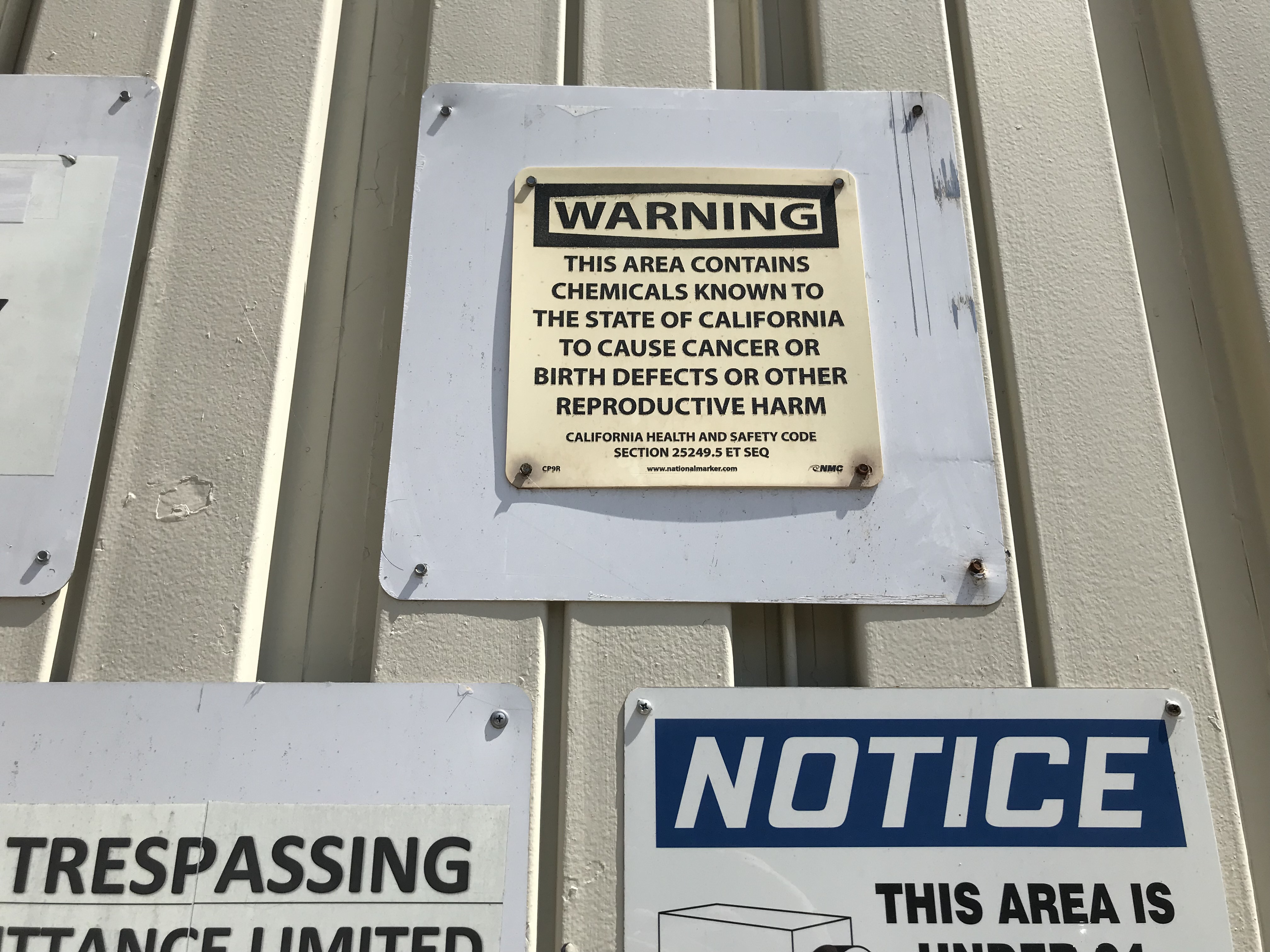
Today the oil well is operated by Houston-based, Freeport-McMoRan, who no longer allow the public to access the lobby. Warnings to trespassers (and would-be smokers) are posted on all sides — as are warnings about the cancer-causing chemicals present at the site.
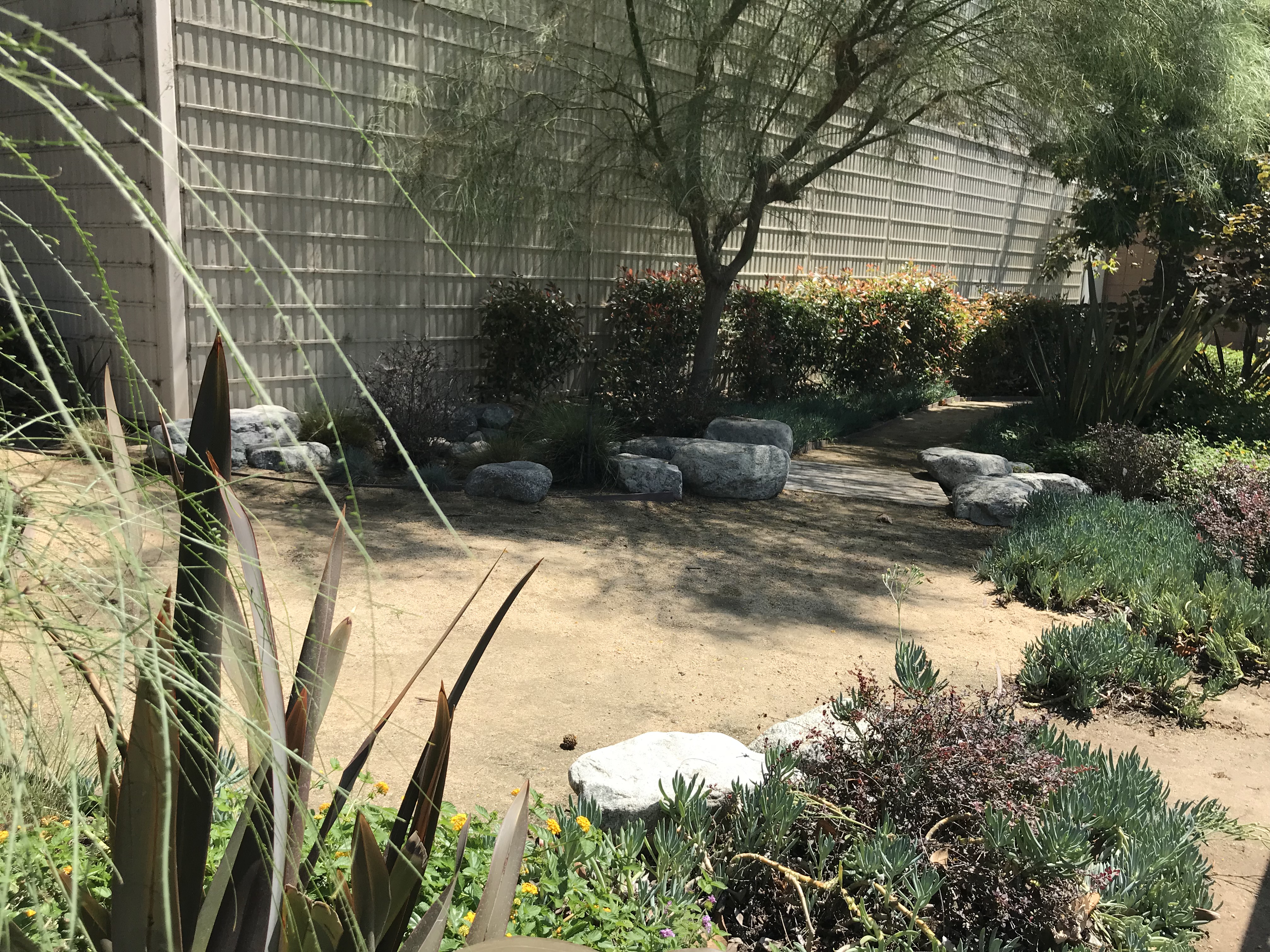
As with the distribution station, it appeared to be unstaffed. On the eastern side, there was a guard-post which, upon approaching turned out to be vacant. On the western edge, a winding path and footbridge appeared to have seen little if any use. Cocking my ear I could hear nothing but a quiet, industrial hum providing the mellifluous counterpoint to the soft rustle of sweet gum and magnolia leaves.
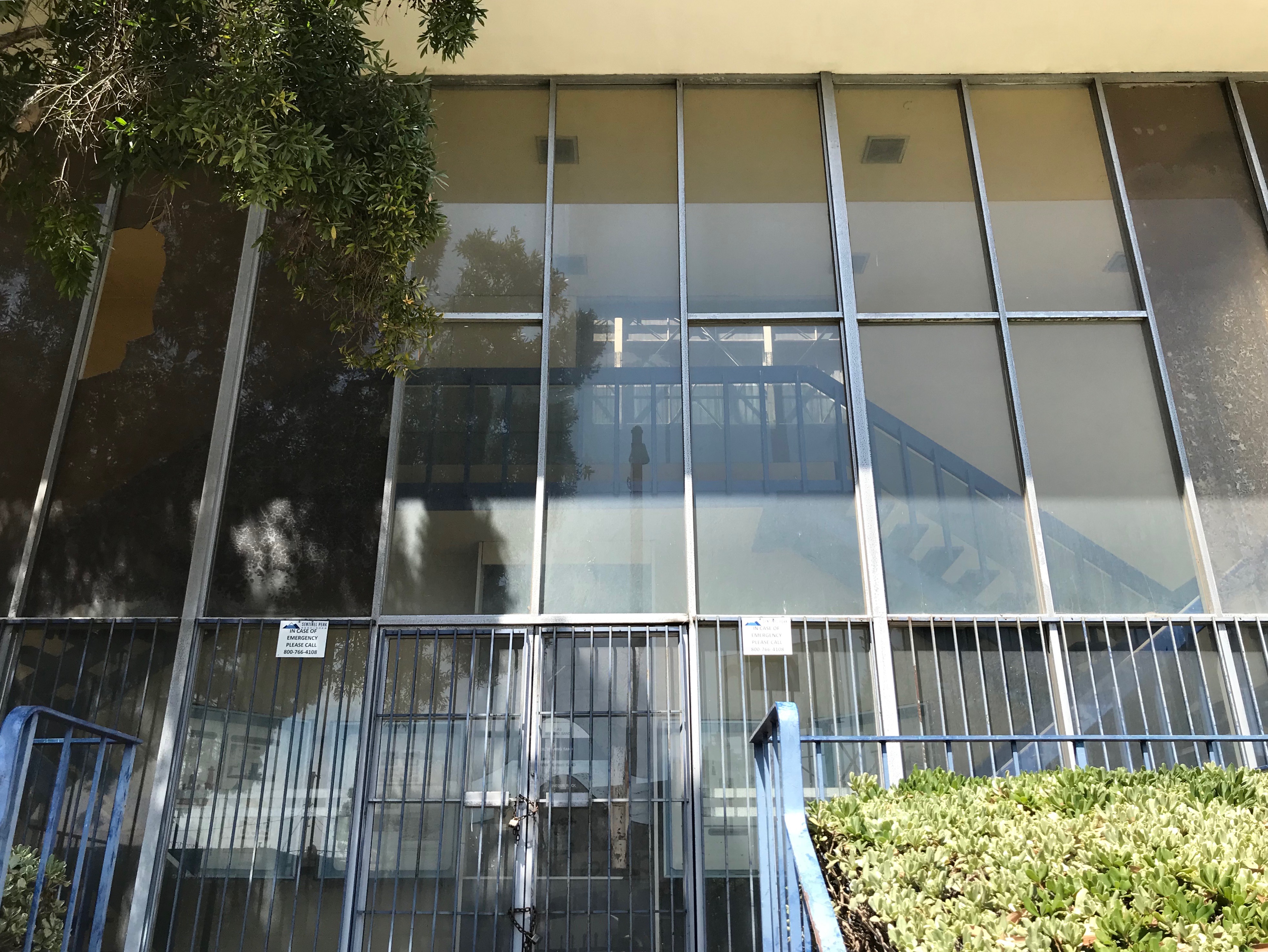
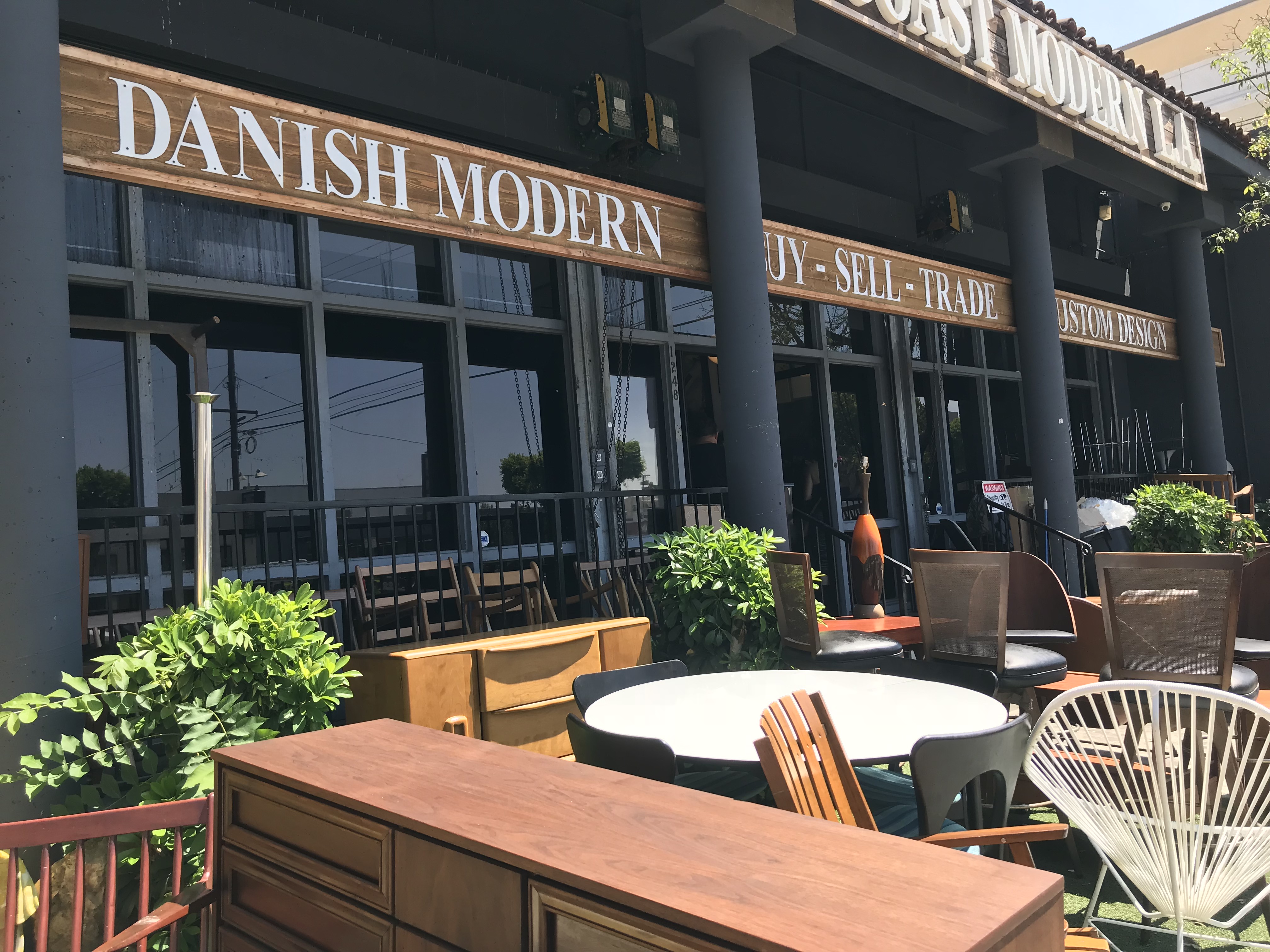
In front, a window looked to have been knocked out with a rock but it was through the tinted windows that I could make out something of the interior, lit through the roofless building by the sun above. Although I wouldn’t want to live anywhere near an active oil well, no matter its aesthetic appeal, the lover of supervillain lairs in me inevitably imagined decorating the place with some Danish furniture purchased from a shop around the corner called West Coast Modern L.A.
Just north of West Coast Modern LA and the Walgreen’s haikyo is the Korean Western Presbyterian Church. In the case of this building, it’s not just the aesthetics of its architecture that drew me to it but the demographic story it told. Hebrew dedications, a stained-glass Magan David, and other symbols revealed, quite clearly, that its life as a Korean church it was a Jewish synagogue.
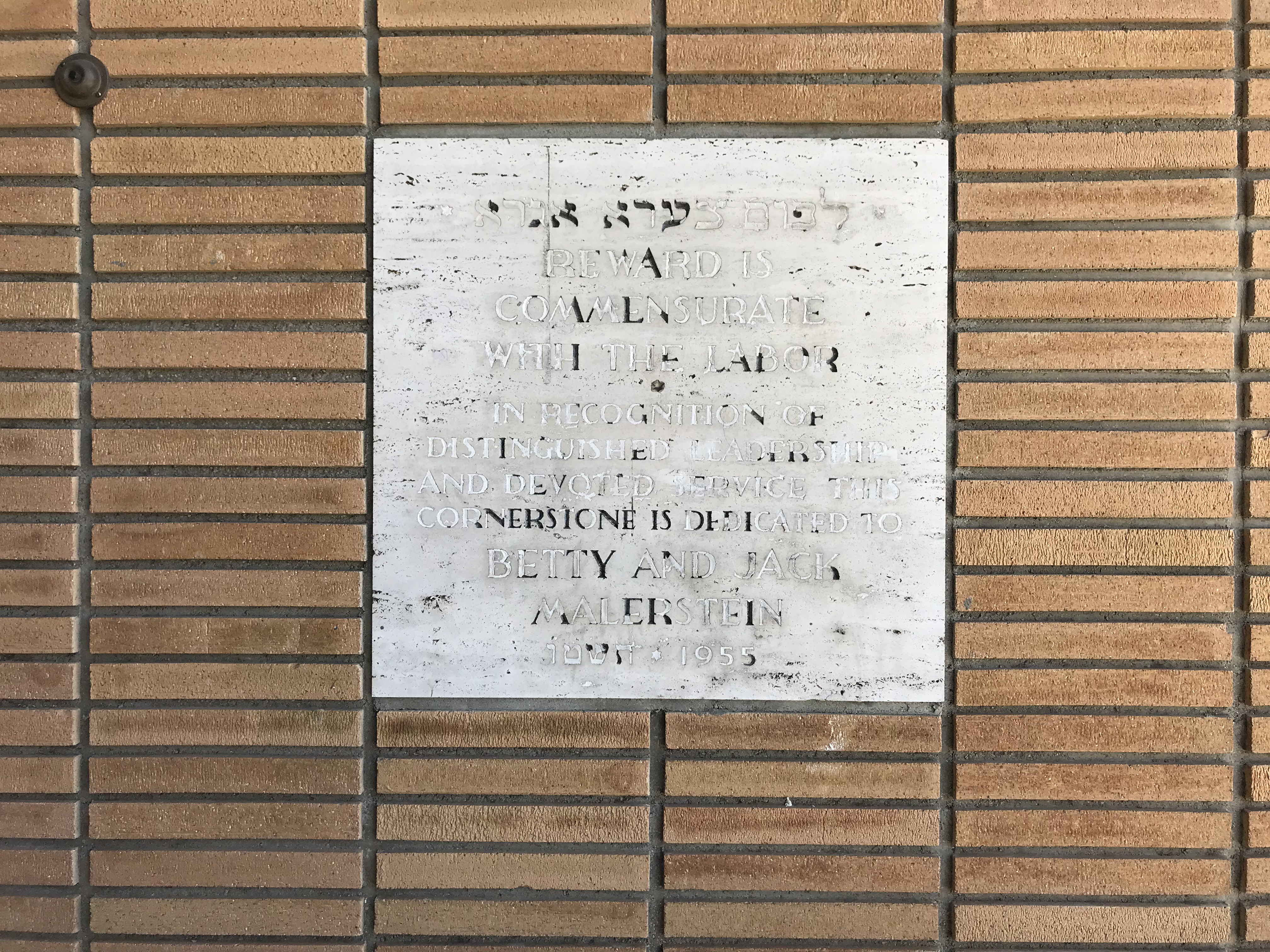
Research revealed that the synagogue was constructed in 1950 as the Congregation Rodef Sholom-Etz Chayim Synagogue and that it had come into being when the Rodef Sholom Congregation, previously of South Los Angeles’s Westside, merged with the Etz Chayim Congregation, previously of South Los Angles’s Eastside, and both had decided to leave make the exodus to Midtown, a region where racially restrictive housing covenants prohibiting Jews, blacks, and all other non-WASPs from buying homes in most neighborhoods was overturned by the United States Supreme Court in the case of Shelley v. Kraemer.
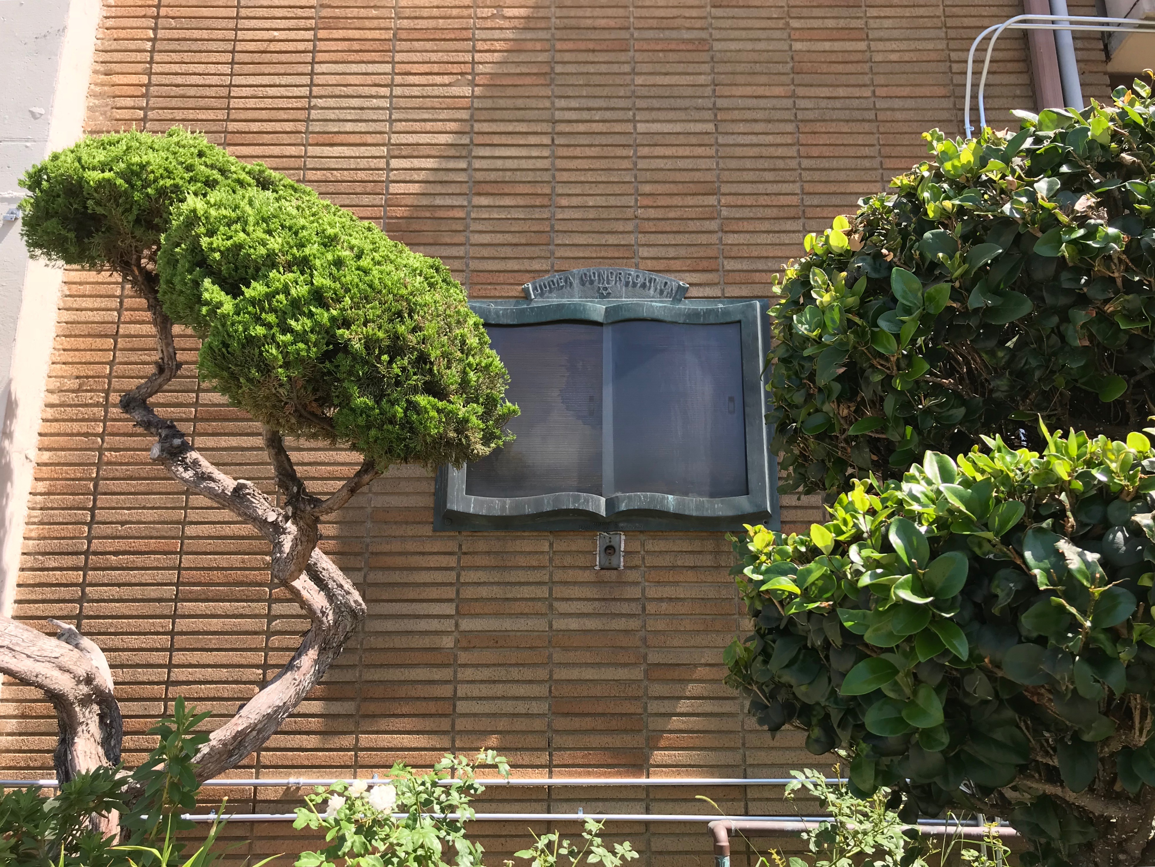
By 1959, the synagogue was known as Temple Judea but many Jews didn’t permanently settle in Midtown and eventually reached the promised land of the Westside. In 1975, the congregation moved to its home at the B’nai David-Judea Congregation in the Westside neighborhood of Pico-Robertson. Koreans, in many cases compelled to leave their homeland by American-backed dictator Park Chung Hee’s “Heavy-Chemical Industry Drive” where among the next wave of Midtown settlers and in 1982, the old synagogue became a Korean Presbyterian Church.

I was exploring midday on a Tuesday, so it’s likely that most who live in the neighborhood were at work, which probably, combined with its suburban oasis calm, gave me the impression of a very quiet neighborhood, aside from the commercial streets located along its edges. From what I saw, I can’t imagine that there’s much more civic life at night, though. Although located in the middle of a vibrant metropolis, Wilshire Vista does feel like a suburb — and the archetypical suburbanite prefers the private to the public, yards to parks, home theaters to cinemas, and wet bars to dives.
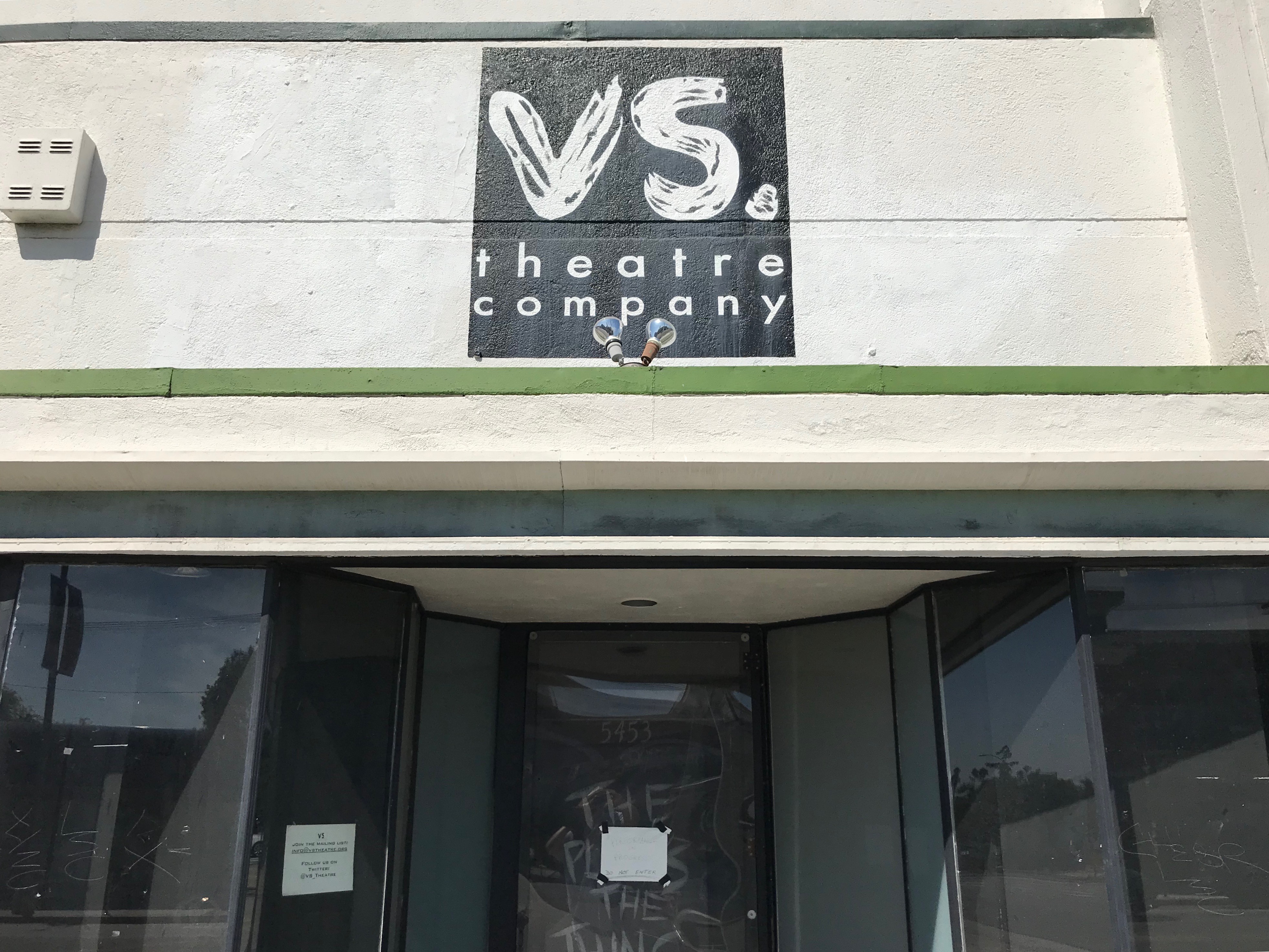
There is a live theater space, though, VS. Theatre Company, which was founded in Wilshire Vista in 2004 and produces, in its space, original works. Although I haven’t yet attended a performance there if you’ve never experienced (and supported) live theater I absolutely encourage you to do so. I’ll keep my eye for upcoming performances.
In the past, there have been occasional community events. In 2014, there was the Wilshire Vista Neighborhood Mixer, organized by the Wilshire Vista Neighborhood Association. In 2017, there was the Wilshire Vista Block Party, organized by the P.I.C.O. Neighborhood Council. The best bet, however, seems to be 3rd Thursdays on Pico, which takes place on the third Thursday of the month (naturally), from 15:00-21:00, between Fairfax and Cochran Place. I’ve not been yet but according to the Great Streets website, it features “local businesses as they showcase live music, food, art, and more,” which sounds a bit like a night market and thus totally up my alley.
Speaking of alleys — I actually began my exploration behind by walking down an unnamed alley behind Little Ethiopia. On my left were residential garages and on my right, Ethiopian restaurants and markets, which to my surprise (because Los Angeles alleys are usually sadly underutilized spaces) there were back entrances to most of the Ethiopian businesses. In any neighborhood exploration, I like to eat in that neighborhood and Ethiopian cuisine is one of my absolute favorites. What’s more, I’d skipped breakfast, second breakfast, elevenses, and brunch and the aromas of berbere, coffee, and niter kibbeh seemed to be tugging at my stomach like sirens. However, even though Little Ethiopia technically straddles Carthay Square and Wilshire Vista and thus, I could argue, can be regarded as part of Wilshire Vista — it’s really its own entity and so I summoned up all of my strength and decided to eat somewhere in Wilshire Vista proper.
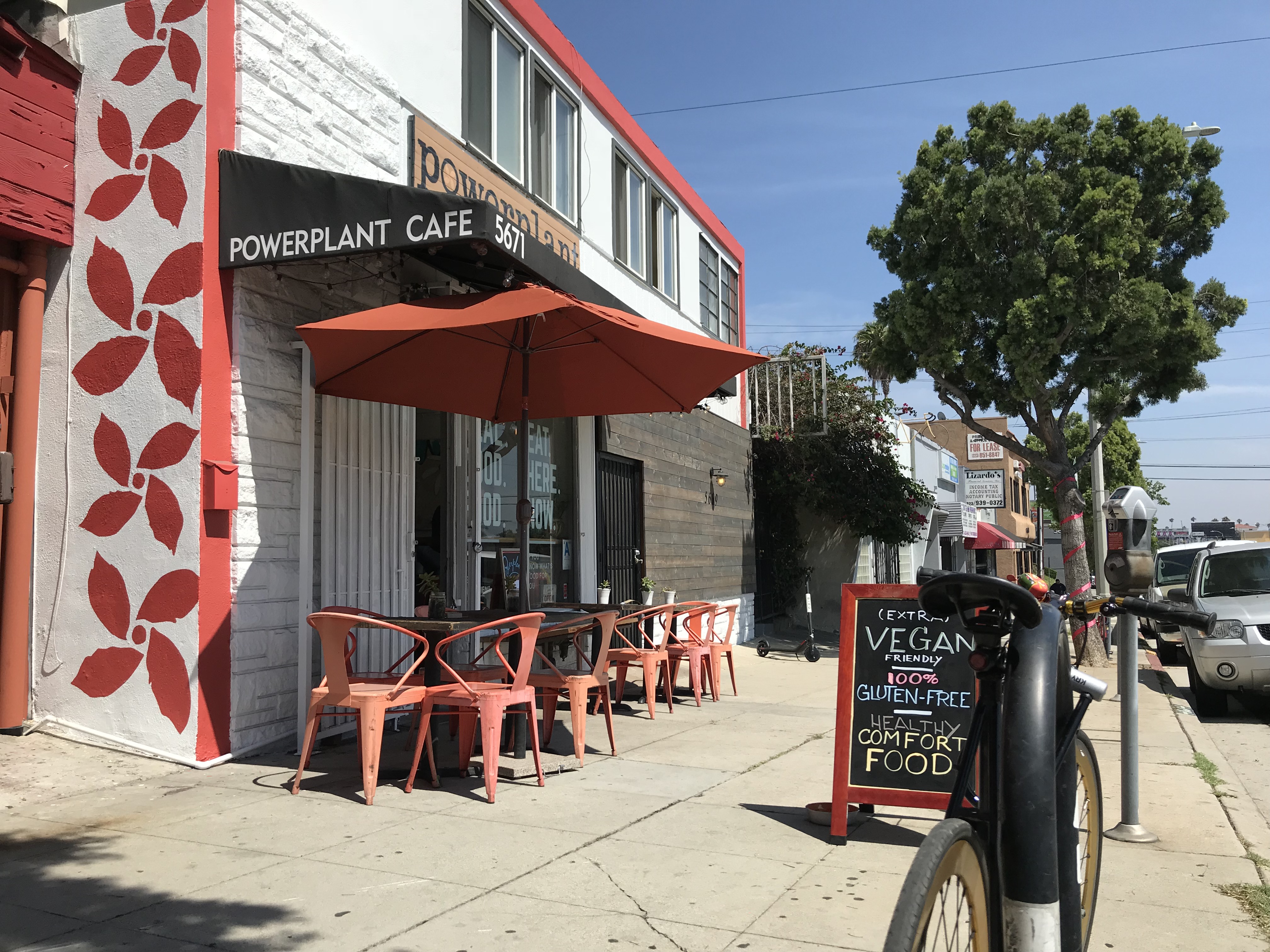
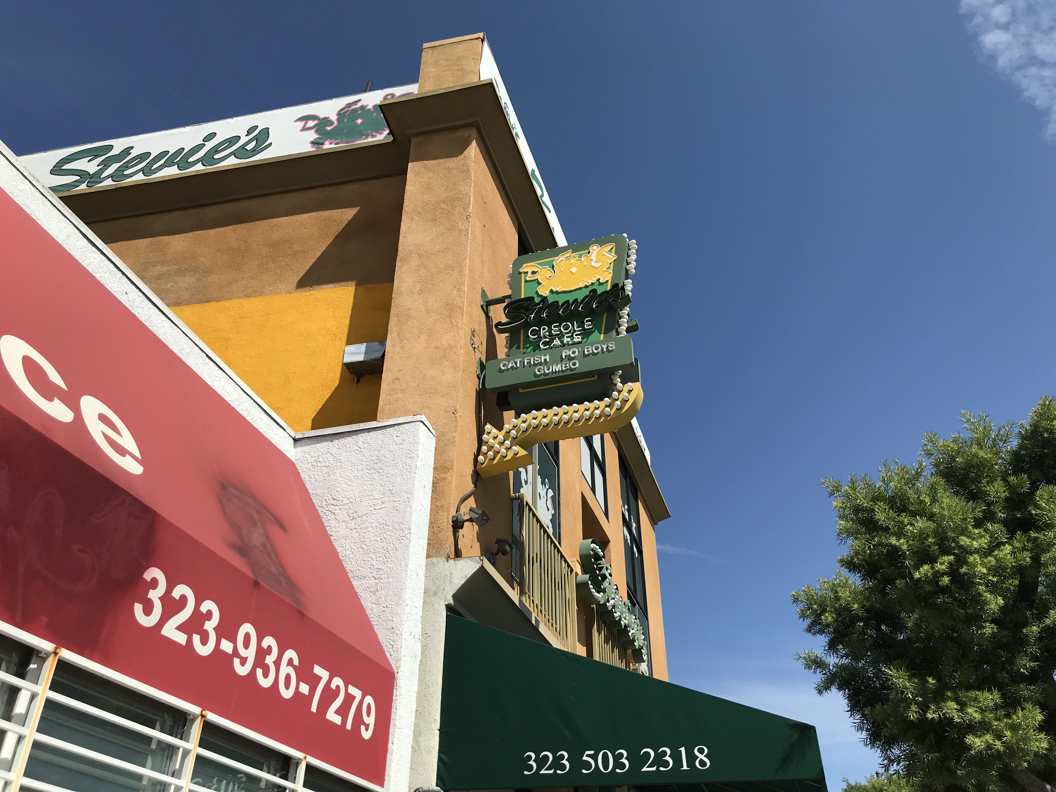
My lunch alarm went off at 14:00 at which time I found myself in front of Powerplant Superfood Cafe, a gluten-free, mostly vegan restaurant. As a vegetarian (albeit a gluten-loving one), this sounded promising and so I popped it. It was very clean and the servers were pleasingly friendly. The food was pretty good, although personally, I wouldn’t have minded if my BBQ “meatloaf” (quinoa) sandwich had been a bit juicier and barbecue-y — maybe that’s just the Missourian in me. As unlikely as salads are to inspire praise, I found mine to be delicious. The iced coffee, too, was tasty and restorative. The coconut-based mocha ice cream was almost impossibly rich. Other restaurants in the neighborhood include CJ’s Cafe, Charlie’s Fish & Chip, Ho Ho Kitchen, My Two Cents, ROUNDK, and Stevie’s Creole Cafe. The only “market” in the neighborhood appears to be Sunshine Liquor and, for your hot sauce needs, there’s the Fuego Hot Sauce Store.
When researching this piece, I looked at Airbnb listings to see how neighborhood residents are now promoting the neighborhood, since the LARy streetcar is never coming, and a journey to the Broadway Theater District (which is, for better or for worse, not what it was in the silent film era) by bus will more likely take 45 minutes and involve a transfer. Most often mentioned in these posts is the ample parking — which seems completely unworthy of mention since no one in their right mind would rent a car when visiting Los Angeles and if one did, you certainly wouldn’t want them staying in your home.
As in 1922, I think it’s Wilshire Wilshire’s proximity to attractions outside the neighborhood that might be more worth mention. The Purple Line Extension is scheduled to open nearby in 2023, a year after the neighborhood turns 100 years old. Metro is also currently considering several routes for extending the Crenshaw line north to the Purple and Red lines. All but one involve routing the train from Crenshaw up San Vicente and from there branching north up La Brea Avenue, Fairfax Avenue, or La Cienega Boulevard to Santa Monica Boulevard in West Hollywood.
But even now, a walk of ten minutes or less can take one to Museum Row (the Los Angeles County Museum of Art, the Craft and Folk Art Museum, the Petersen Automotive Museum, and the George C. Page Museum), Little Ethiopia, the Korean Cultural Center Los Angeles, the El Rey Theater, the Zimmer Children’s Museum, Tom Bergin’s (assuming someone re-opens it), Ballona Creek, The Mint, and an India Sweets and Spices. The Beverly Center, the Museum of Tolerance, and the Expo Line‘s La Cienega/Jefferson Station are no further away than a transfer-less, fifteen-minute bus ride. For the Wilshire Vistan still clamoring for a streetcar, in 2013 developer Rick Caruso floated the idea of extending an actual streetcar down Fairfax from his mall, the Grove, to the nearby Wilshire/Fairfax Station.
FURTHER READING
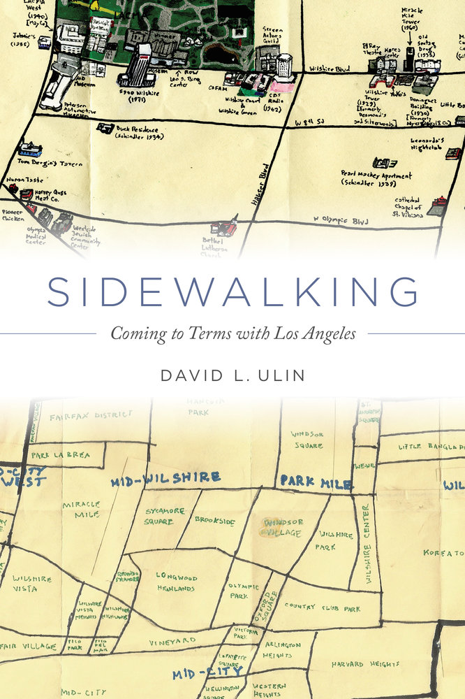
Sidewalking: Coming to Terms with Los Angeles, by David L. Ulin (2015), a writer who lives and walks in Wilshire Vista. The book’s cover is based upon two of my Pendersleigh & Sons Cartography maps.
To vote for any communities you’d like to see covered in California Fool’s Gold, name them in the comments.
Support Eric Brightwell on Patreon

Eric Brightwell is an adventurer, essayist, rambler, explorer, cartographer, and guerrilla gardener who is always seeking paid writing, speaking, traveling, and art opportunities. He is not interested in generating advertorials, cranking out clickbait, or laboring away in a listicle mill “for exposure.”
Brightwell has written for Angels Walk LA, Amoeblog, Boom: A Journal of California, diaCRITICS, Hidden Los Angeles, and KCET Departures. His art has been featured by the American Institute of Architects, the Architecture & Design Museum, the Craft Contemporary, Form Follows Function, Los Angeles County Store, the book Sidewalking, Skid Row Housing Trust, and 1650 Gallery.
Brightwell has been featured as subject in The Los Angeles Times, VICE, Huffington Post, Los Angeles Magazine, LAist, CurbedLA, Eastsider LA, Boing Boing, Los Angeles, I’m Yours, and on Notebook on Cities and Culture.
Brightwell has been a guest speaker on KCRW‘s Which Way, LA?, at Emerson College, and the University of Southern California.
Brightwell is currently writing a book about Los Angeles.
You can follow him on Ameba, Duolingo, Facebook, Goodreads, iNaturalist, Instagram, Mastodon, Medium, Mubi, the StoryGraph, and Twitter.


A useful and interesting account of this area. The Mission style houses alongside mock Tudor look homes seem a bit incongruous, but clearly quite normal for L.A. Good to see that you can get some tree shade in the hot city.
LikeLiked by 1 person