

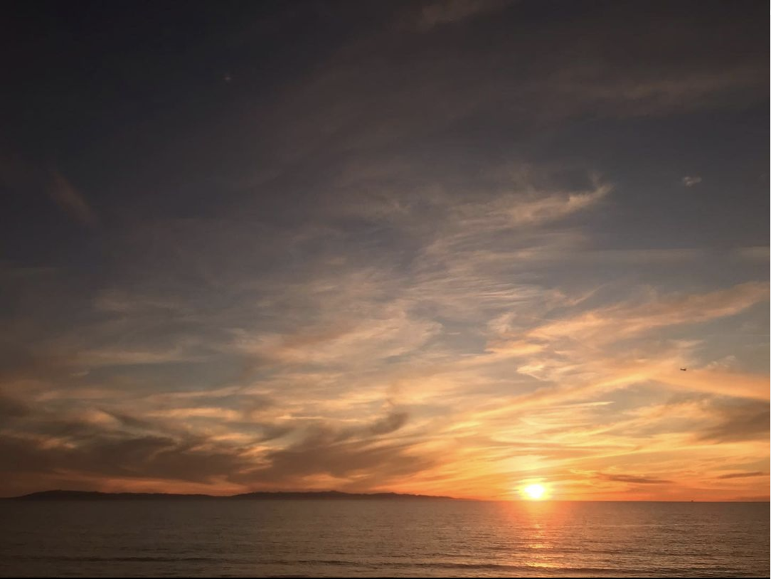
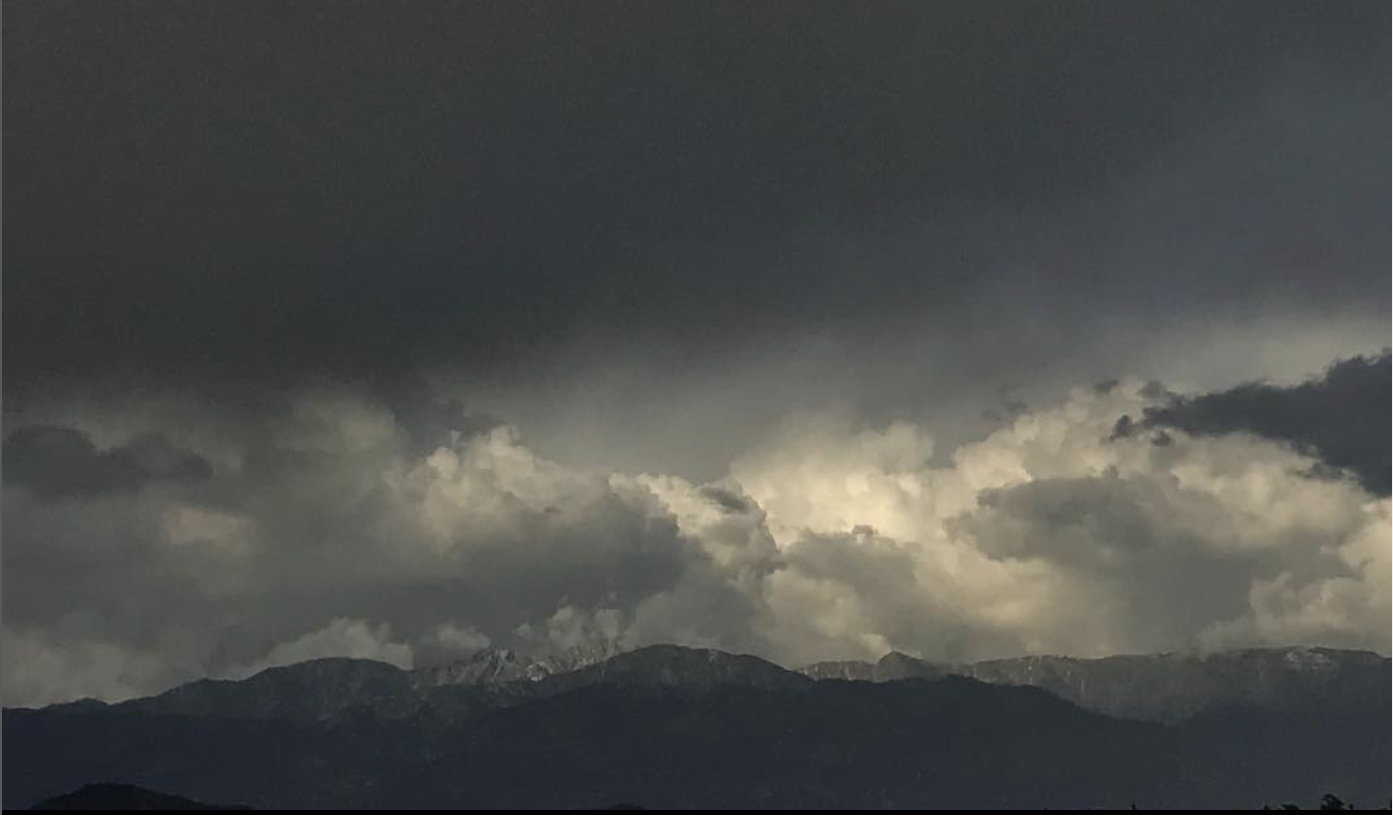
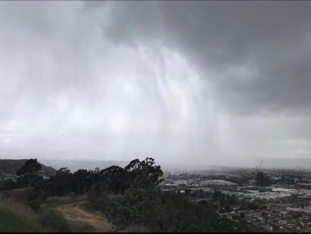
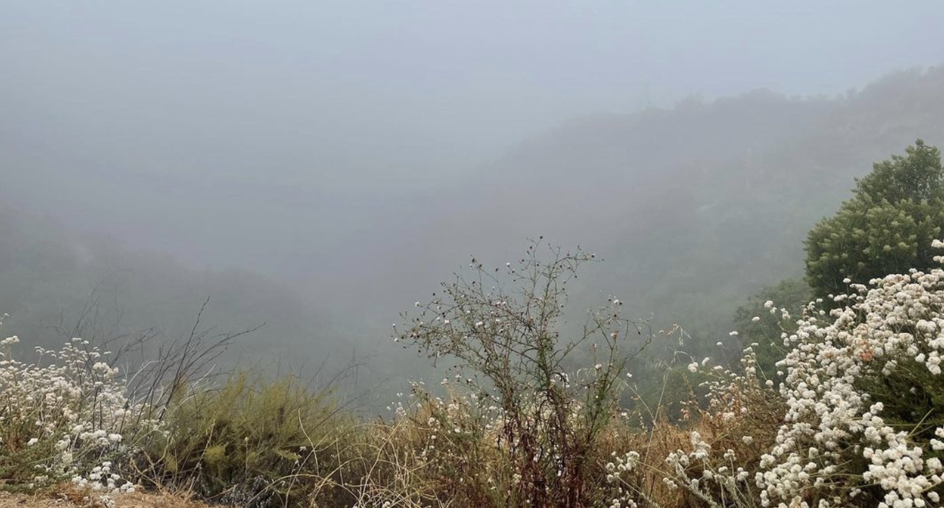
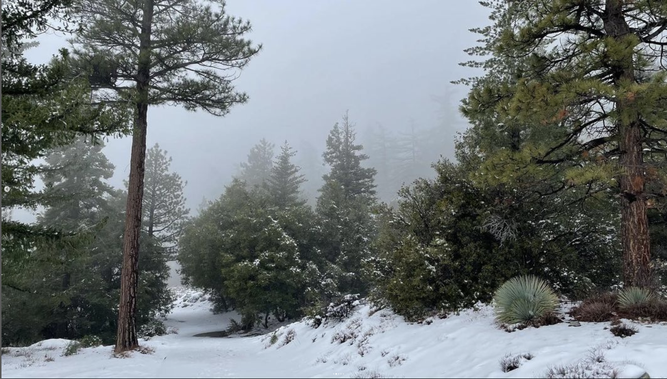
Los Angeles and Southern California‘s mountains have been in the spotlight as of late. The mountains are always there, of course, but a seemingly endless barrage of drizzle, rain, freezing rain, hail, graupel, sleet, and snow have painted our semi-arid landscape with brilliant strokes of green and swathes of blinding white. The unexpected precipitation has also snowed in residents of mountain towns, kept ski resorts open into early spring, and brought flooding and mudslides to hillsides and flats, reminding Anglenos that — no matter how many people say it and no matter how many times they say it — Los Angeles is not a desert, well, apart from the Antelope Valley — which, let’s be honest, most of us don’t think of as part of Los Angeles, even though it is in Los Angeles County.
This winter, currently in the process of transitioning into spring, has been one of the most memorable since I moved here in 1999. I have on many days stood in awe at the sight of roiling thunderheads dumping white sheets of snow in the distance as gray rain squalls soak me here in the flats of Silver Lake. After I publish this piece, I’m grabbing my umbrella and heading back out. To the possible annoyance of my friends — many of whom have “had enough” of this rain and snow — I can’t stop myself from sharing pictures of snow-blanketed villages on my Instagram account and wishing that I was in them. If only, like Japan and Taiwan, our civic leaders and transit agencies understood how much more pleasant a mountain railway is than a gridlocked line of automobiles.
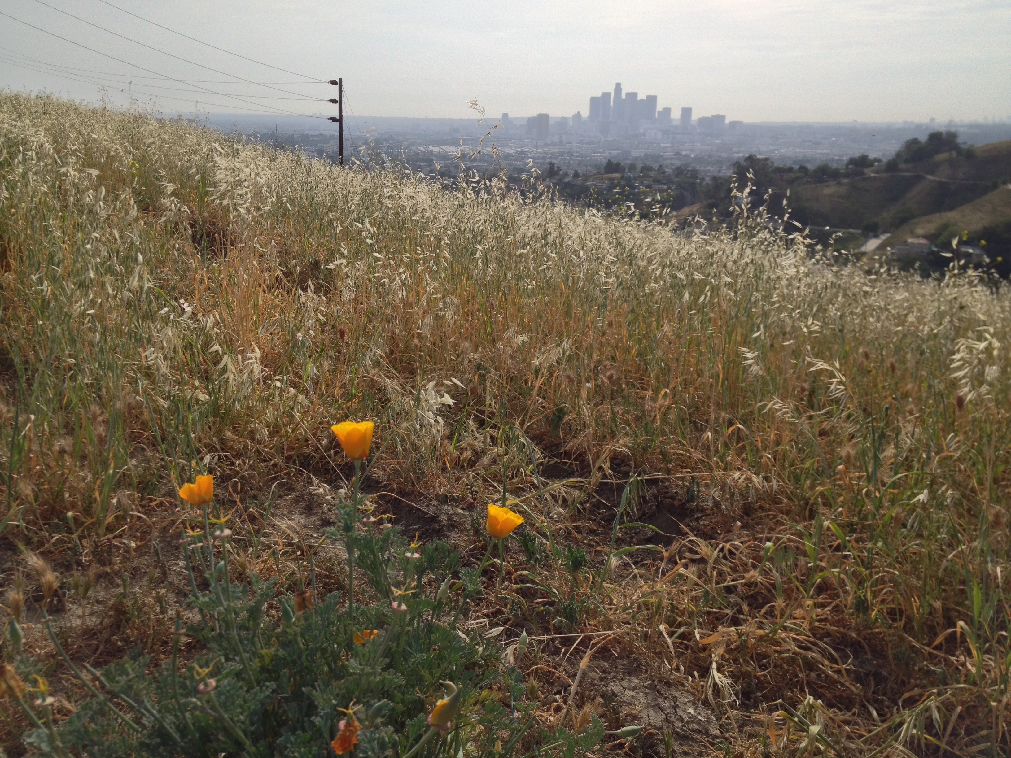
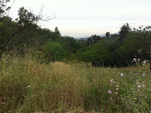
But although Angelenos often talk about going “to the snow” and refer to mountains as being “over there,” they are, in fact, all around us — forming the skyline in almost every direction and slicing right through the urban fabric. Even when my eyes are closed, they’re never far from my mind. In fact, they’re one of the main reasons I live in Los Angeles.

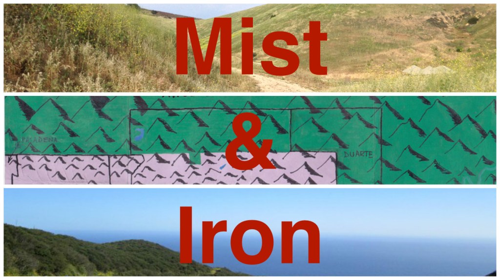
I’ve felt a literal attraction to hills and mountains for as long as I’ve been aware of them — which was probably since I was very young. For most of my upbringing, I was never far from the Appalachians or Ozarks. My mother had a collection of Mountain music — vinyl records from the likes of The Camp Creek Boys, Curly Ray Cline, Franklin George, and J.E. Mainer. Long before I bothered to read any books by J.R.R. Tokien, I looked at the book’s maps and wondered what sorts of things went on in the Misty Mountains and Iron Hills (the source for this series’ name). In elementary school, when we were supposed to come to school dressed as our literary heroes, I dressed as Rudy Matt, the teenaged mountain climber of Banner in the Sky. Hating the heat and humidity of Missouri summers, I unsuccessfully lobbied my mother to move us all to Alaska, where I theoretically could’ve become the youngest person to scale Denali. We remained in Missouri, though, and I turned my attention to my other great love, water, by getting a job when I was eleven at a scuba and sail shop that took me diving in caves, flooded quarries, rivers, lakes, and — on a trip to Florida — the Atlantic Ocean.
When I moved to Los Angeles, I thought — like many newcomers, I suppose — that I’d no doubt spend much of my free time sailing, diving, and surfing in the Pacific Ocean. I don’t know anyone who dives, here, though. I don’t know anyone who sails. And I’ve gone surfing exactly one time. I remember going to the ocean, once, and my native (and Native) Angeleno friend telling me that the water is always too cold to swim in. When I asked about the dark shapes on the water, another native (but non-Native) Angeleno friend told me that they were the Channel Islands, but that there wasn’t really anything to do on them. I beg to differ. The Channel Islands are another of the main reasons I live here. And I swim almost every time I am near the ocean — which is not nearly as often as I wish. On the other hand — even though I wish I were in them more often — I go hiking in the mountains a lot more than I thought I ever would.
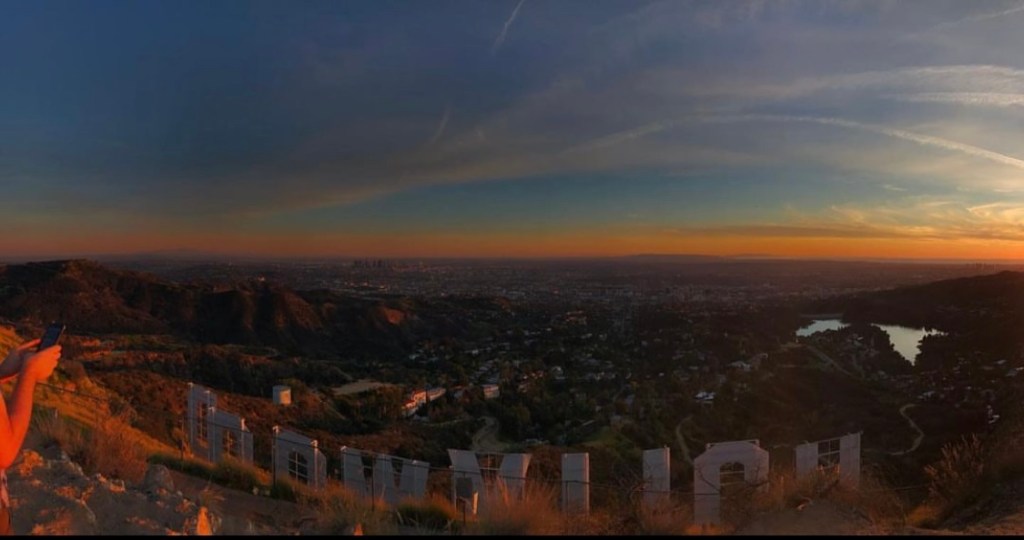
Native Angelenos, in my experience, take their mountains somewhat for granted… or at least, they don’t seem as fixated on them as me… or as the groups of Koreans I seem to pass on every trail I pretend no one has hiked in decades. Every Native Angeleno, undoubtedly, can point a tourist toward the Hollywood sign — and yet I suspect only an exceedingly small number can correctly identify the name of the mountain on which it stands (Mount Lee), that its top was removed so that movie mogul (and supposed inventor of the “casting couch”) Mack Sennett could build a mansion there (the Great Depression had other ideas), or, hilariously, that it’s named after a Cadillac salesman — Donald Musgrave Lee. Everyone recognizes neighborhood names like Beverly Hills, Lincoln Heights, and Mount Washington — and yet most people think of Los Angeles as a city that defines and is defined by horizontal sprawl.
Los Angeles’s highest point is the 1,547 meter-high peak of Mount Lukens. Its lowest are areas in Wilmington and Terminal Island that have subsided roughly 3 meters below sea level, giving it an elevation range of 1,550 meters. Of major cities in the world, only Caracas has a greater elevation range (1,965 meters). Technically — because of municipal boundaries that extend far beyond their urban cores; Juneau (2,493 m), Anchorage (2,440 m), Shizuoka City (3,192 m), and Fuji City (3,776 m) all have greater elevation ranges than Los Angeles. Still, not bad for a city most characterize as horizontal.
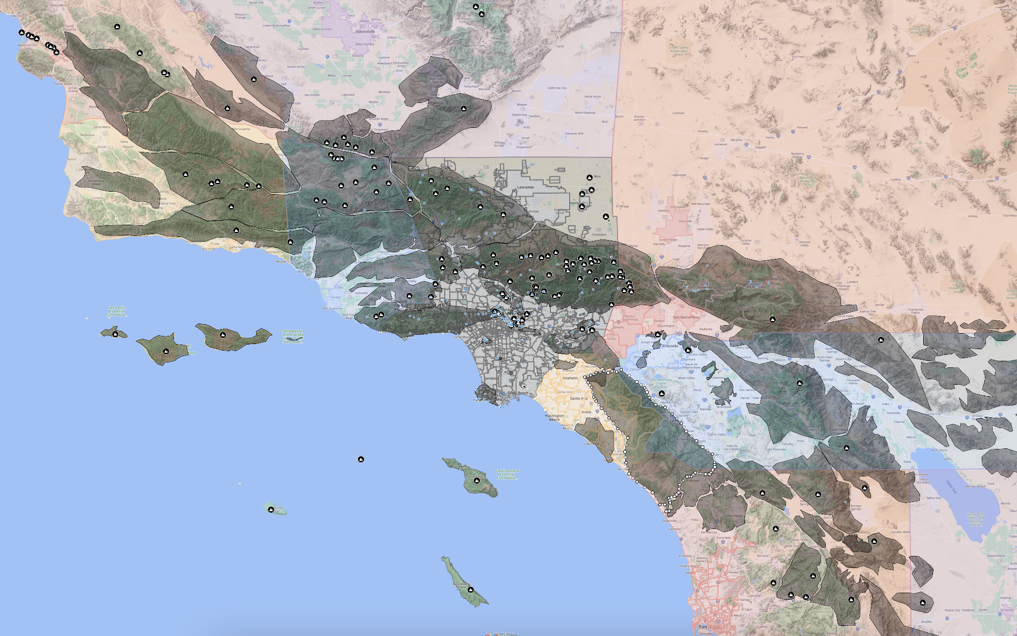
I’m no mountain expert. Exploring them and becoming familiar with their names has been a long process — but I’m eager to learn. That said, I’ve found very little information about them. Literature tends to be limited, from what I’ve seen, to geological pamphlets and hiking guides. Most maps bother only with the names of all but the tallest peaks of the biggest ranges. And so, I’ve made my own — or am making — as it should be regarded, like most things, as a work in progress. I welcome friendly additions and corrections.

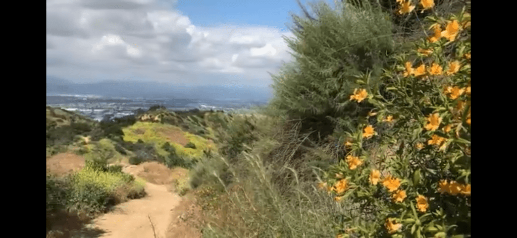
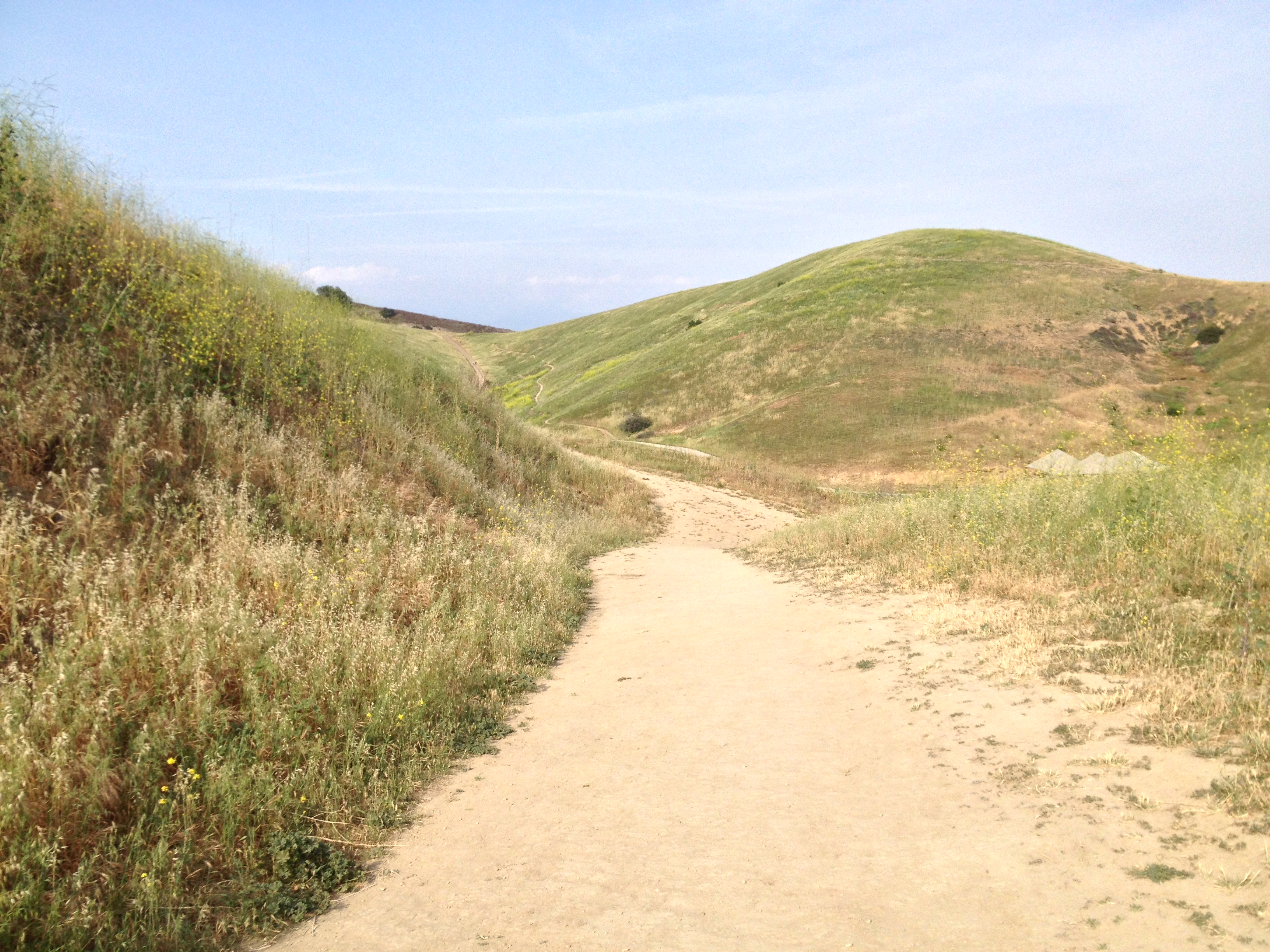
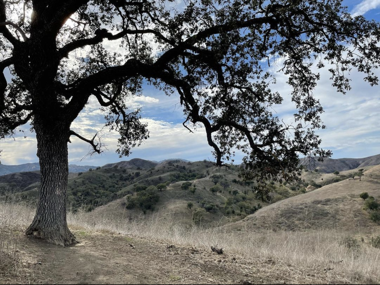
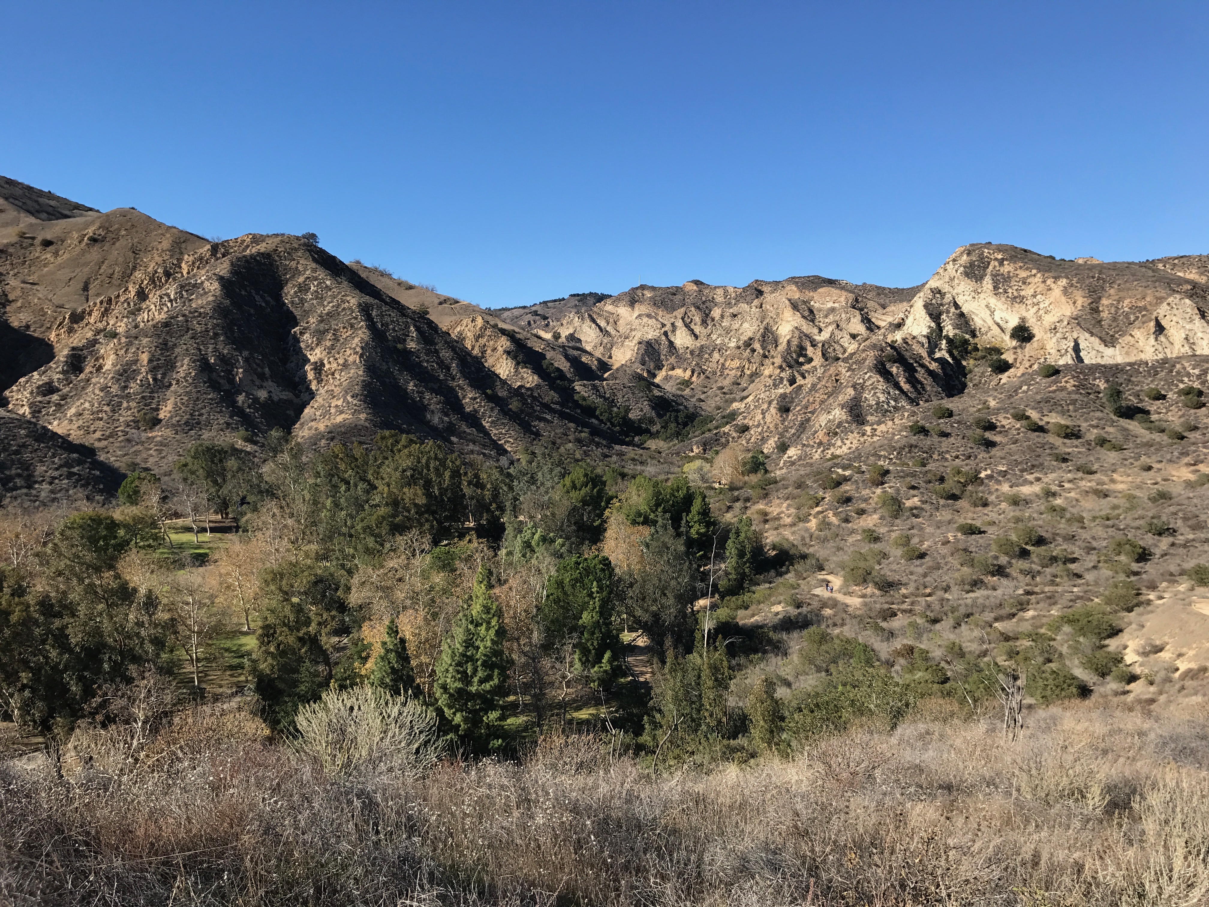
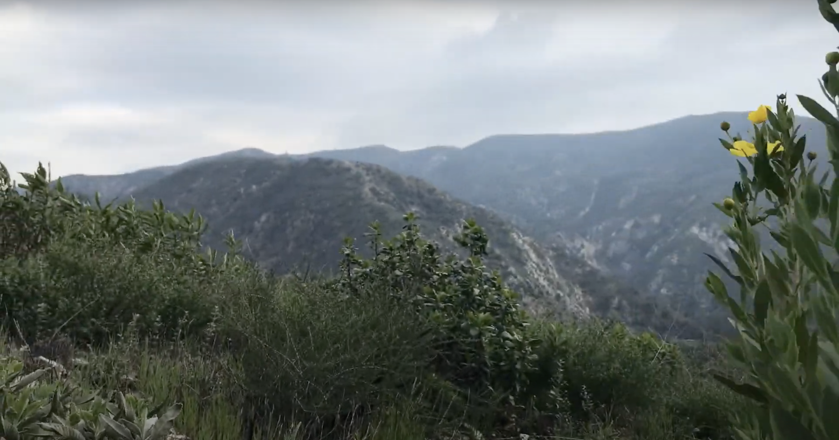
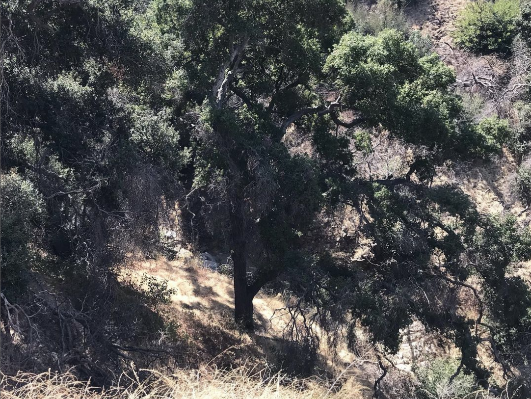
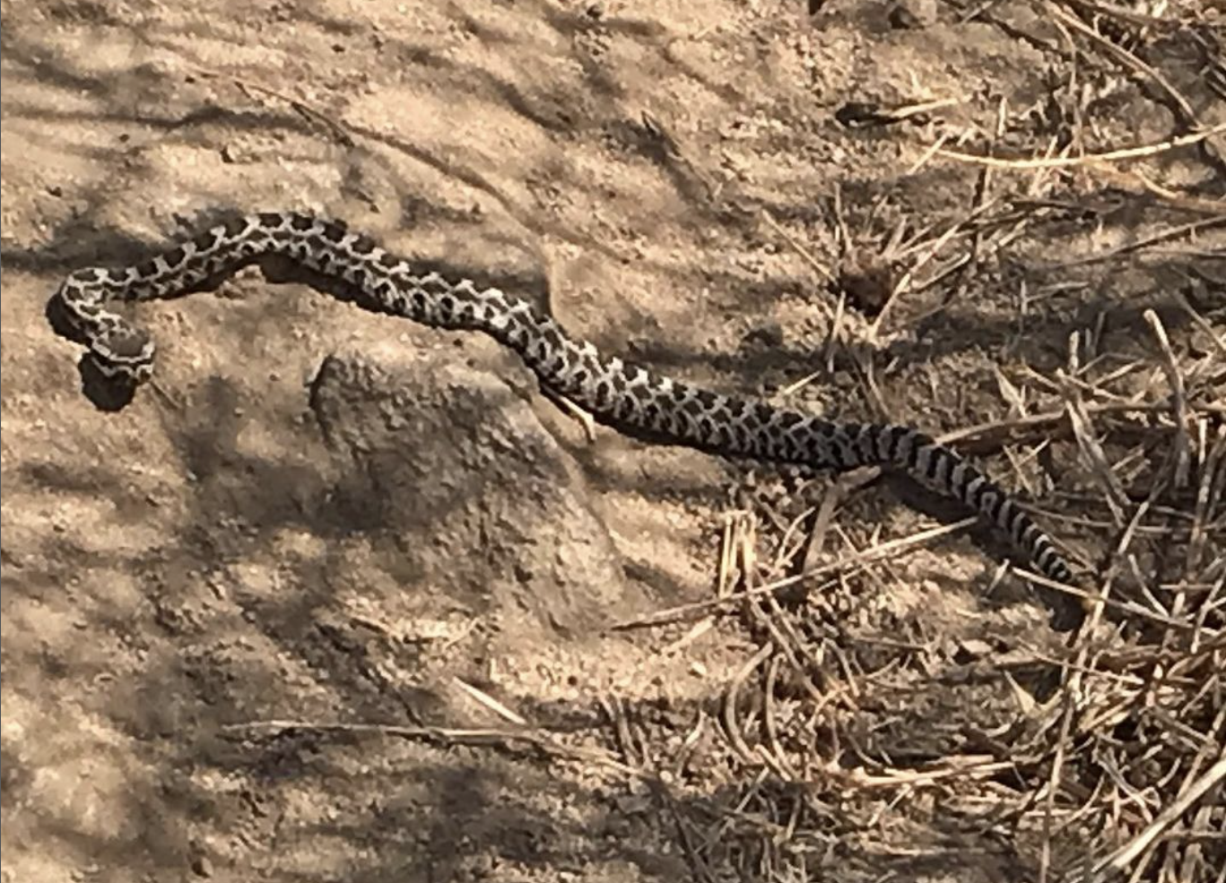
In 2021, my friend Jae Hee gave me a copy of Nan Shepherd‘s poetic and hypnotic book, The Living Mountain. After that I read John McPhee‘s Assembling California; and Robert MacFarlane‘s Mountains of the Mind: A History of a Fascination and The Old Ways: A Journey on Foot. I have, in the past couple of years, been thinking about writing a book about the mountains of “Los Angeles” — one less concerned with geology than history and even more than that, the ranges’ particular personalities — and different parts of the same range have drastically different personalities from other parts. From a distance, some appear — at certain times of the year — to be velvety soft but most are, regardless of appearance, scruffy, scratchy, and often slippery. Still each has its own personality and not many are like mountains found outside of Southern California. It’s not every mountain range that boasts not just abandoned mines, bears, campgrounds, caves, fire towers, mountain lions, lakes, pools, remote villages, waterfalls — but also ancient arborglyphs, arrays of radio masts, missile test sites, performance spaces, and elusive ringtails. My desire, it should be noted, is not to “conquer” them, for most are fairly easy to “conquer” in that sense. I wish to enter into them — and to spend some time becoming more personally acquainted with them.
The Mountains of Southern California have been significant to humans for as long as humans have lived in the region — which is for at least 13,000 years. The indigenous Chumash believed that they originated on the northern Channel Islands — which are submerged mountains — and which during the ice age were one large island thanks to lower sea levels. When their population grew too large, the noise they kept the Earth Mother, Hutash, awake at night so she created a rainbow bridge over the Santa Barbara Channel for them to head to the mainland. At the other end of the rainbow bridge was Tzchimoos, Anglicized as Chismahoo Mountain, one of the peaks of the Santa Ynez Mountains. For thousands of years after, the Chumash lived on the Channel Islands, the flatlands, and mountains between Morro Bay in the north, the Bolsa Chica Wetlands in the south, and at least as far inland as Castaic, where their village Kaštiq was historically located. The Chumash word, “kaštiq,” translates to “what is like a face or an eye” — and seems to me a possible reference to its location at the nexus of the San Gabriels, Santa Susanas, Sierra Pelona, and Topatopas.
After ten or so thousand years, several Takic–language speaking people began arriving from the east. They included the Acjachemen, ʔívil̃uqaletem, Kuupangaxwichem, Payómkawichum, Taaqtam, Tataviam, and Tongva. Having come from the hot and mountainous Sonoran Desert, they knew well how to take advantage of mountains in which to establish summer villages when temperatures in the dessert, where its preferable to establish winter villages (especially when there are hot springs in them). The Taaqtam dived themselves into two smaller groups — the Maarrênga’yam, “people from Morongo” and Yuhaaviatam, “people of the pines.” The Spanish, simply referred to them all as “Serranos,” meaning “highlanders.”
Here is a primer of sorts to get me (and you, if you’ve made it this far) started:
BALDWIN HILLS
The Baldwin Hills are a range of hills that their name to the Baldwin Hills neighborhood and its derivatives (Baldwin Hills Village, &c) and dominate them as well as the neighborhoods of Ladera Heights, Windsor Hills, and several neighborhoods of Culver City. They’re named after the infamous Elias Jackson “Lucky” Baldwin. The highest of the Baldwin Hills is a 103 meter-high peak. Within the range are the headwaters of Ballona Creek, which flows into the Santa Monica Bay to the west. In 1963, the Baldwin Hills were the site of the catastrophic failure of the Baldwin Hills Dam, which lead to 1,100,000 m3 of water flowing into the surrounding area, the destruction of 277 homes, and the death of five people. The southern portion of the Baldwin Hills are dominated by the Inglewood Oil Field. Included within the hills are the Kenneth Hahn State Recreation Area and the Sanchez Adobe de Rancho La Cienega.
CHALK HILLS
The Chalk Hills are a low range located in the southwestern portion of the San Fernando Valley. The name refers to the bedrock and pale soil, which somewhat resembles chalk. The highest peak is a summit that reaches an elevation of 331 meters. The northern portion of the hills are dominated by the campus of Pierce College.The Chalk Hills also contain a small, remnant California oak woodland, which I suppose is what the neighborhood of Woodland Hills is named after.
DOMINGUEZ HILLS
The Dominguez Hills are a very low range of in South Los Angeles. They are named after Don Manuel Domínguez and his Rancho San Pedro and Dominguez Rancho Adobe. The hills are also home to California State University, Dominguez Hills.
ELYSIAN HILLS
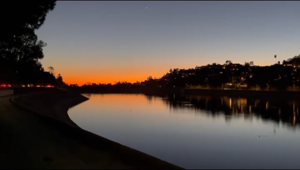
The Elysian Hills (formerly known as the Felis Hills) are a chain of low, sandy siltstone prominences that stretch from the eastern end of the Santa Monica Mountains (aka the Hollywood Hills) down to Downtown‘s Bunker Hill neighborhood. The word, Elysian, is a reference to Elysium, from the ancient Greek Religion, which is “the home of the blessed after death.” Their name of the Elysian Hills is echoed in the neighborhoods of Elysian Heights and Elysian Valley (aka Frogtown). The Elysian Hills also extend into the neighborhoods of Angeleno Heights, Echo Park, Franklin Hills, Silver Lake, and Victor Heights and are the titular “heights” and “hills” of them. The hills are also home to Elysian Park, the city’s oldest, large park — and yet one which 137 years after its creation still is completely unserved by mass transit, lacking even a single bus stop inside of it. For that matter, there are almost no sidewalks on which to enter it. There are, of course, several parking lots.
MONTEBELLO HILLS
The Montebello Hills are a small group of hills located in the northeastern section of the city of Montebello. The name, Spanish for “lovely mount,” is shorter than the previous name applied by the Spanish — La Montaña de Santa Gertrudes. On 8 September 1771, the Spanish dedicated the original Misión de San Gabriel Arcángel at the eastern base of the Montebello Hills, in the Whittier Narrows, an area that separates the Montebello Hills from the Puente Hills. The mission was destroyed by rising waters of the Santa Ana River in 1776 and they rebuilt further from the river.
On the other side, the Montebello Hills are separated from the Monterey Hills by a valley traversed by California State Route 60. The Montebello Oil Field was discovered there by Standard Oil Company in 1917 and today, Southern California Gas Company‘s mining operations still dominate the hills.
MONTEREY HILLS
The Monterey Hills are a chain of hills located between the Montebello Hills and Repetto Hills. They dominate the geography of the city of Monterey Park, which is itself named after the hills. They also lend their name to a subdivision, of Monterey Park, known as Monterey Hills.
Confusingly — there is also an isolated condominium community in Northeast Los Angeles known as Monterey Hills. The Monterey Hills Development Project was first proposed by the Community Redevelopment Agency in the 1960s and, although not located particularly near the Monterey Hills, it is a somewhat hilly neighborhood and is presumably named after that and its proximity to Monterey Road.
PALOS VERDES HILLS
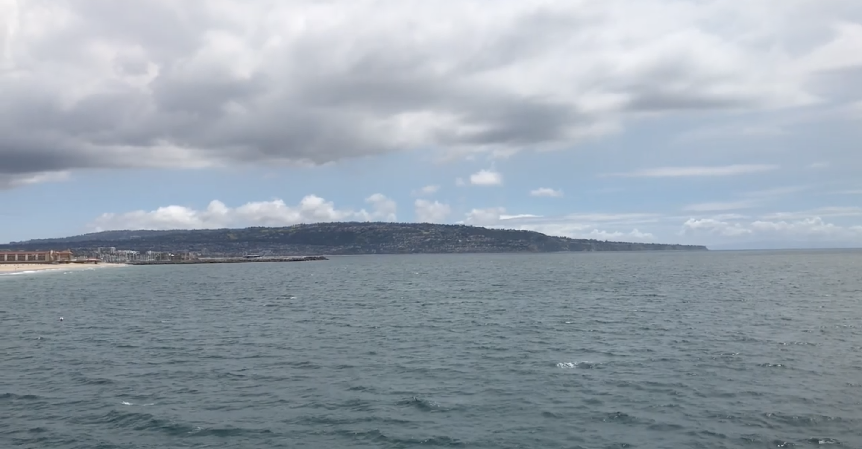
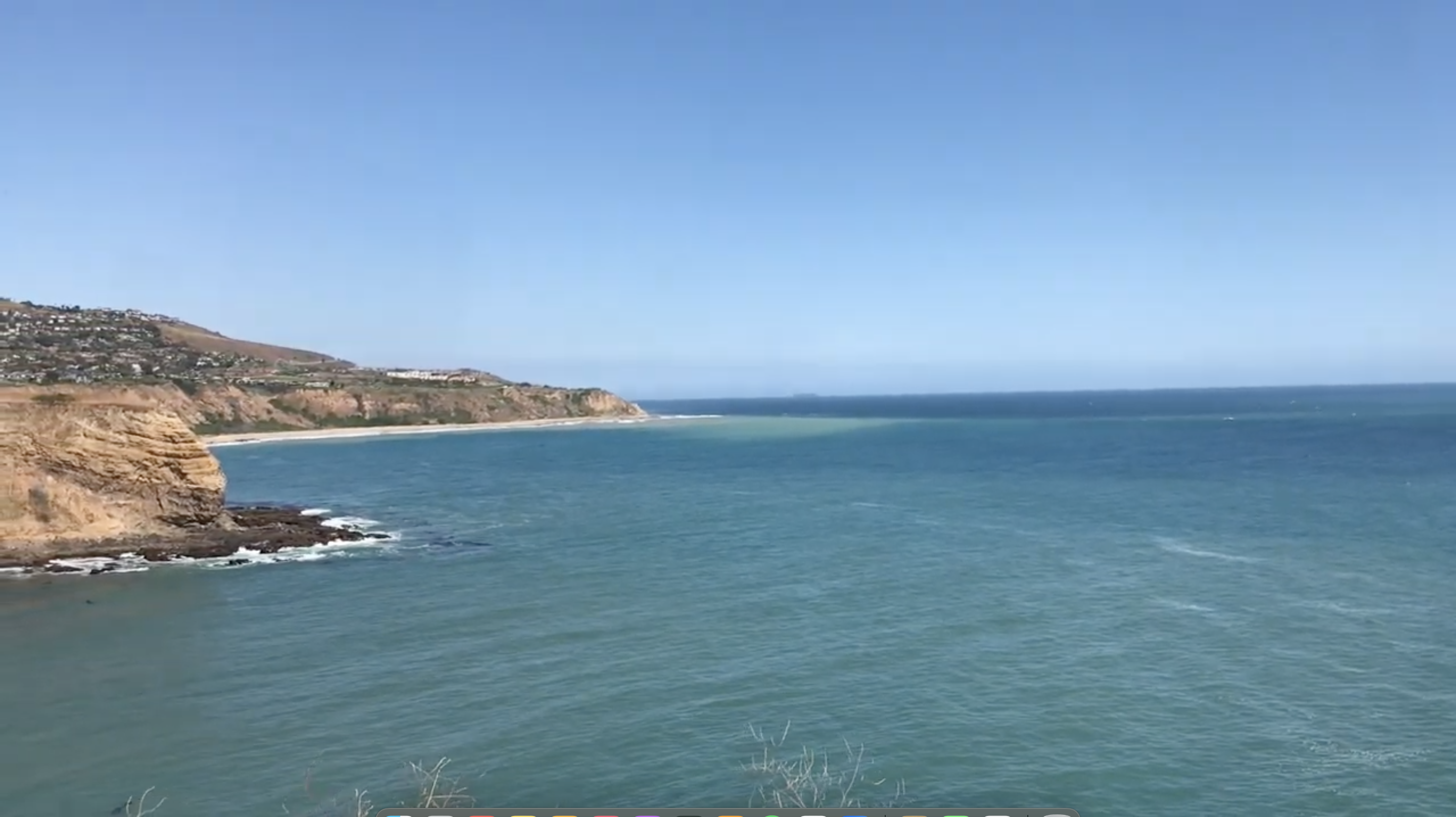
The Palos Verdes Hills are a prominent cluster of low hills located on the Palos Verdes Peninsula. They’re home to the roughly 600-hectare Palos Verdes Nature Preserve. From the hills, there’s an amazing view of Santa Catalina Island. The breathtaking vistas have led to the hills being colonized by wealthy suburbanites whose communities include Academy Hill, Rancho Palos Verdes, Palos Verdes Estates, Rolling Hills, Rolling Hills Estates, and Westfield. At the eastern end, by contrast, the hills spread into working class San Pedro. where they host the Point Fermin Lighthouse, the Fort MacArthur Museum, the Korean Friendship Bell, the Pacific Marine Mammal Center, and Sunken City.
PINE MOUNTAIN RIDGE
Pine Mountain Ridge is a massif made of Matilija Sandstone that is part of the Transverse Ranges. The highest peak is 2,290 meter-high Reyes Peak. It’s primarily located in Ventura County but partly extends into Los Angeles County.
PUENTE HILLS
The Puente Hills are a chain are part of the lower Transverse Ranges that cross Southern California.They lend their name to the Puente Fills Mall (featured in Back to the Future), the Puente Hills Landfill (closed in 2013), Puente Hills Preserve, and the city of La Puente. They are also the “heights” of both Hacienda Heights and Rowland Heights. The Puente Hills are also home to Hsi Lai Temple, the largest Buddhist Monestary in the Americas. The hills are also home to Hellman Park and Peter F. Schabarum Regional Park.
The western end are colloquially referred to as the Whittier Hills and in 1897, the Whittier Oil Field was discovered there. Oil drilling subsequently dominated the hills until the 1940s. The eastern end of the hills are colloquially known as the Chino Hills and are home to Chino Hills State Park, which is apparently where the descendants of the cliff swallows that used to famously frequent Misión San Juan Capistrano now winter. The Chino Hills also dominate the suburb of the same name.
REPETTO HILLS
The Repetto Hills are a low chain of east-west hills named after Alessandro Repetto, who emigrated to the US in 1848 and made his way to California in search of gold. In 1866, he married Cruy Alvitri-Serrendell and bought 5,000 acres (~2,000 hectares) of land at the edge of the San Gabriel Valley where we ranched and established a vineyard. On 16 April 1874. the outlaw Tiburcio Vásquez and his bandits visited the ranch, tied Alessandro to an olive tree, and forced him to write a check for $800. It was Vaquez’s last robbery and he was captured on 14 May and hanged the following year on 19 March. Repetto died on 14 October 1885.
Today, the Repetto Hills are home to one of Los Angeles’s largest parks, Ascot Hills Park, California State University, Los Angeles, the Heidelman Stairway (Los Angeles’s longest public stairway, and the Hermon Car Wall — a sadly obscure and neglected piece of folk art. It’s also home to Ernest E. Debs Park — which is itself home to a marker for the city’s original northeast corner, Audubon Center at Debs Park, and Peanut Lake. It’s also home to several locally well-known hills including Elephant Hill, Flattop (Mount Olympus II), Paradise Hill, and Rose Hill — all of which are constantly threatened, it seems, with development. In 1984, Newport Beach-based developer, William D. Foote, tried to develop it with luxury homes. There are still dirt roads from that era that criss cross it. In 2021, Trumika Corp. owner Duc Truong tried to build a luxury home atop Flattop — which the city denied him in early 2023.
ROSECRANS HILLS
The Rosecrans Hills are a chain of very low, rolling hills named after William Rosecrans, a Union General in the Civil War who later settled in California. Rosecrans was born. in Delaware County, Ohio, in 1819. In 1880, he was elected to the US House of Representatives, representing California’s 1st congressional district. He died of pneumonia on 11 March 1898. The hills that bear his name are mostly developed, notably by the campus of Los Angeles Southwest College and the Chester Washington Golf Course.
SAN EMIGDIO MOUNTAINS
The rugged San Emigdio Mountains are part of the Traverse Ranges and are named after the highest peak in the range, 2,284 meter-high Mount San Emigdio. Mount San Emigdio is, in turn, named after Emygdius, a martyr venerated within the Eastern Orthodox and Roman Catholic churches. The San Emigdios are located inside the Los Padres National Forest. Gold was discovered in Santa Feliciana Canyon there in 1843. The Pyramid Dam was completed on Piru Creek in 1973, creating the Pyramid Lake reservoir.
SAN GABRIEL MOUNTAINS
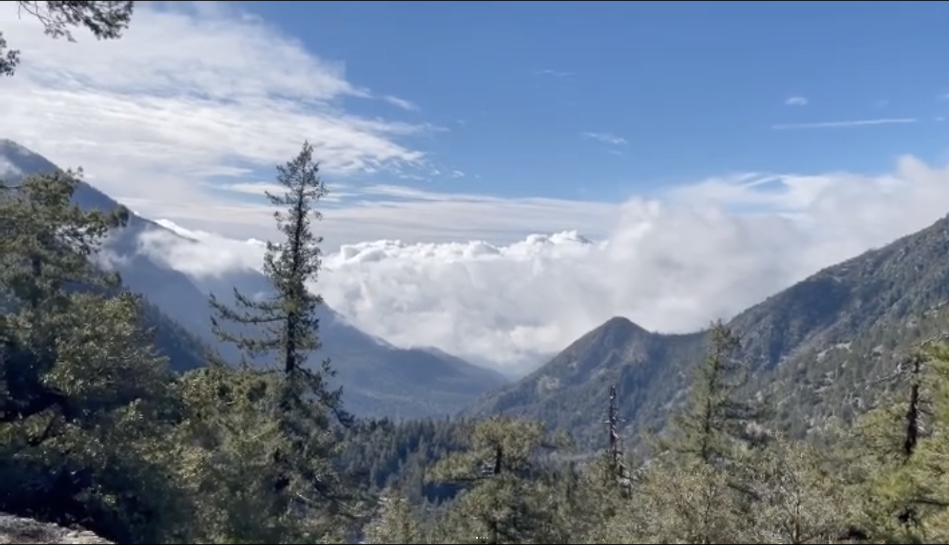
The San Gabriel Mountains are part of the Transverse Ranges and lie between the San Gabriel Valley on the south and Mojave Desert‘s Antelope Valley on the north, where its edge is traced by the San Andreas Fault. It is located within the Angeles and San Bernardino national forests. The highest peak is 3,069 meter-high Mount San Antonio, colloquially known as Mount Baldy (and historically known to the Tongva as Yoát and the Taaqtam as Avii Kwatiinyam). Mount San Antonio is the tallest mountain in Los Angeles County and its nickname, “Baldy,” owes to the fact that it’s crown is fairly treeless.
Another prominent peak is Mount Wilson — which hosts an antenna farm and the Mount Wilson Observatory. It is also home to the aforementioned Mount Lukens — the tallest mountain inside the city limits of Los Angeles. The San Gabriel Mountains are home to numerous attractions including the Bridge to Nowhere, the Shoemaker Canyon Tunnels (built as an escape route in case of nuclear attack), and the ruins of White City and the Mount Lowe Railway. Today, the San Gabriels are served by Metro‘s “rail to trail“ shuttle — making it one of the only large ranges with mass transit connections.
SAN JOSE HILLS
The San Jose Hills are part of the Traverse Ranges, forming the border between the San Gabriel Valley to the west and the Pomona Valley to the east. The rounded hills have been smoothed by erosion. The highest point is 402 meter-high Buzzard Peak. The San Jose Hills Fault was last active in 1990. The hills are home to Ganesha Park, Frank G. Bonelli Park, Mountain Meadows Golf Course, Puddingstone Lake, the Voorhis Ecological Reserve, and Walnut Ranch Park. The San Jose Hills are also home to California State Polytechnic University, Pomona.
SAN RAFAEL HILLS
The San Rafael Hills are named after Rancho San Rafael, a 1784 Spanish land grant. San Rafael (or Saint Raphael, in English) is the archangel first mentioned in the Book of Tobit and in 1 Enoch. The hills named after an archangel are home to the Art Center College of Design, Cherry Canyon Park, the Eagle Rock, Forest Lawn Memorial Park, the Huntington Library, Art Museum, and Botanical Gardens, and Occidental College.
Mount Washington, I believe, is also part of the San Rafael Hills. It’s a mostly residential neighborhood named after the highest peak in New England that, like its namesake, once had a funicular rail and resort hotel. The former hotel is now the headquarters of the Self-Realization Fellowship.
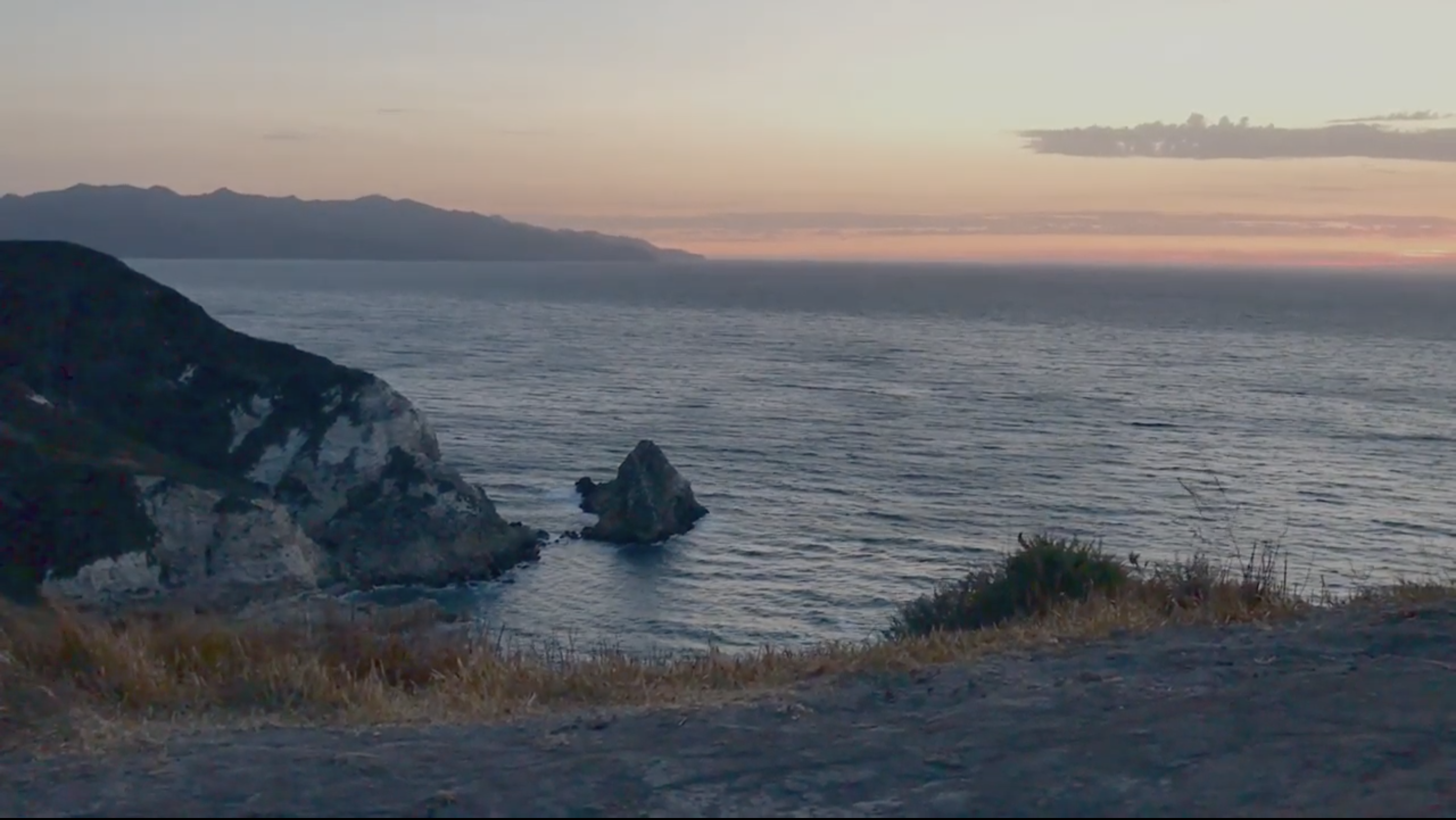
SANTA MONICA MOUNTAINS
The Santa Monica Mountains are a coastal range that runs about 64 kilometers from the Los Angeles River‘s Glendale Narrows in the east to the Pacific Coast in the west — although the northern Channel Islands are technically part of the same chain. The eastern end is colloquially known as the Hollywood Hills. They separate the Los Angeles Basin from the Conejo and San Fernando valleys to the north.
They are part of the Santa Monica Mountains National Recreation Area. The mountains are home to at least 1,000 Chumash and Tongva archeological sites. Boney Mountain, was sacred to the Chumash, who called it Sat-wi’wa. It’s home to numerous stunning state parks and charming urban parks. It’s also home to the Malibu Coast American Viticultural Area.
Griffith Park, one of the largest city parks in the country, was home to the famous mountain lion P-22 until December 2022, when he was euthanized after being struck by a motorist in a hit-and-run collision. The hills of the park are home to the Greek Theatre, Griffith Observatory, the ruins of the Griffith Park Zoo, Travel Town Museum, and many, many other attractions.
The Hollywood Hills are largely covered in homes, some of which are architecturally significant. The range is bisected by various roads named after William Mulholland, including Mulholland Drive and the unpaved. “Dirt Mulholland.” The western part is home to Mulholland Highway. They’re also home to the Bronson Caves, Fryman Park, the Getty, Universal Studios, the Jon Anson Ford Theatre, the Skirball Cultural Center, the Hollywood Bowl, and other attractions.
SANTA SUSANA MOUNTAINS
The Santa Susana Mountains are a range that stretches roughly 40 kilometers from between the Simi Valley on the south and the Santa Clara River and Santa Clarita valleys on the north. The highest peak is 1,142 meter-high Oat Mountain — which can be accessed from O’Melveny Park — on of the city’s largest but least-known parks. Oil was discovered in the Santa Susanas by California Star Oil Works in 1876 — the first oil field discovered in the West. It’s home to several large parks as well as California Institute of the Arts and the Magic Mountain theme park.
SIERRA PELONA
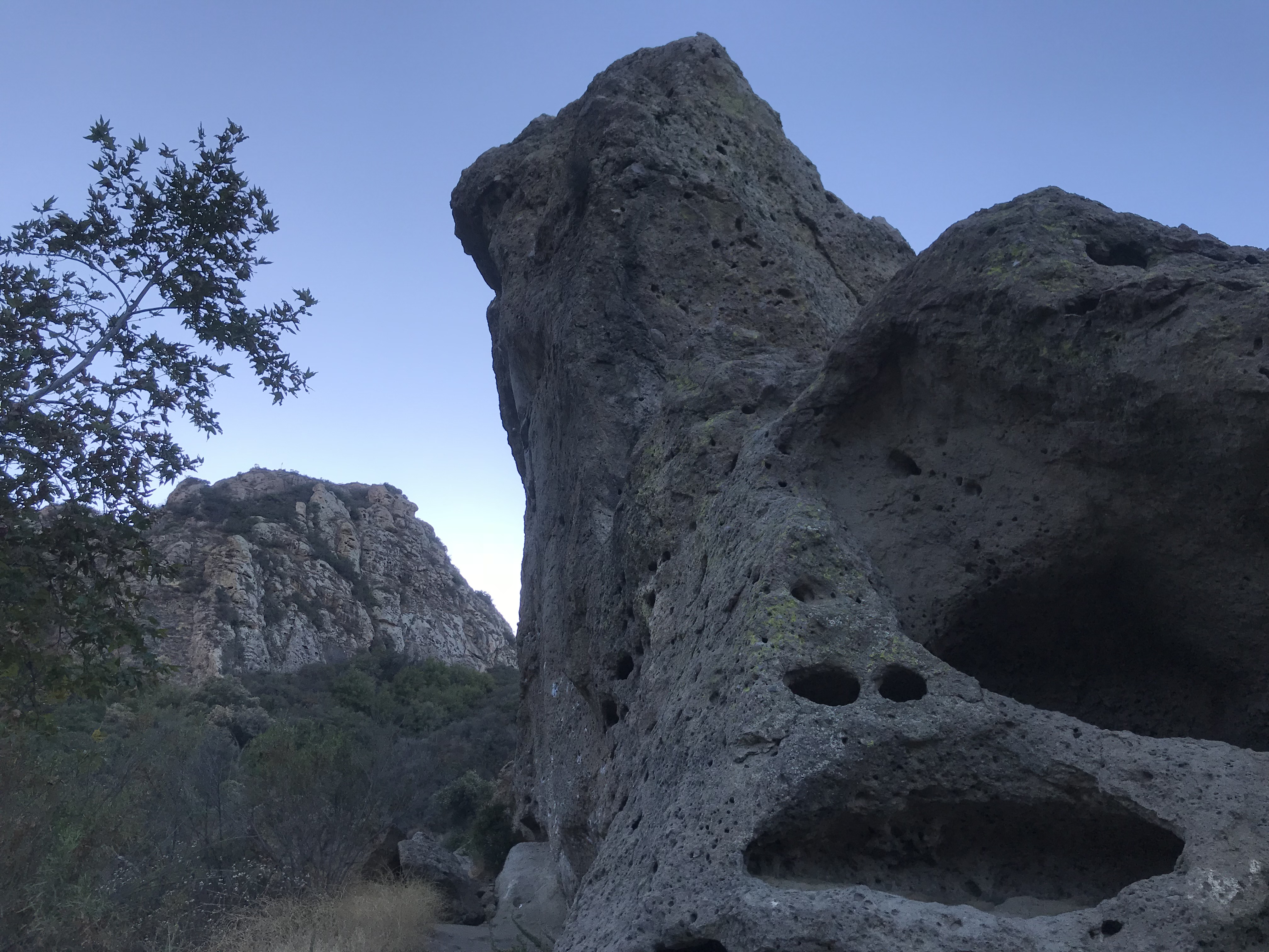
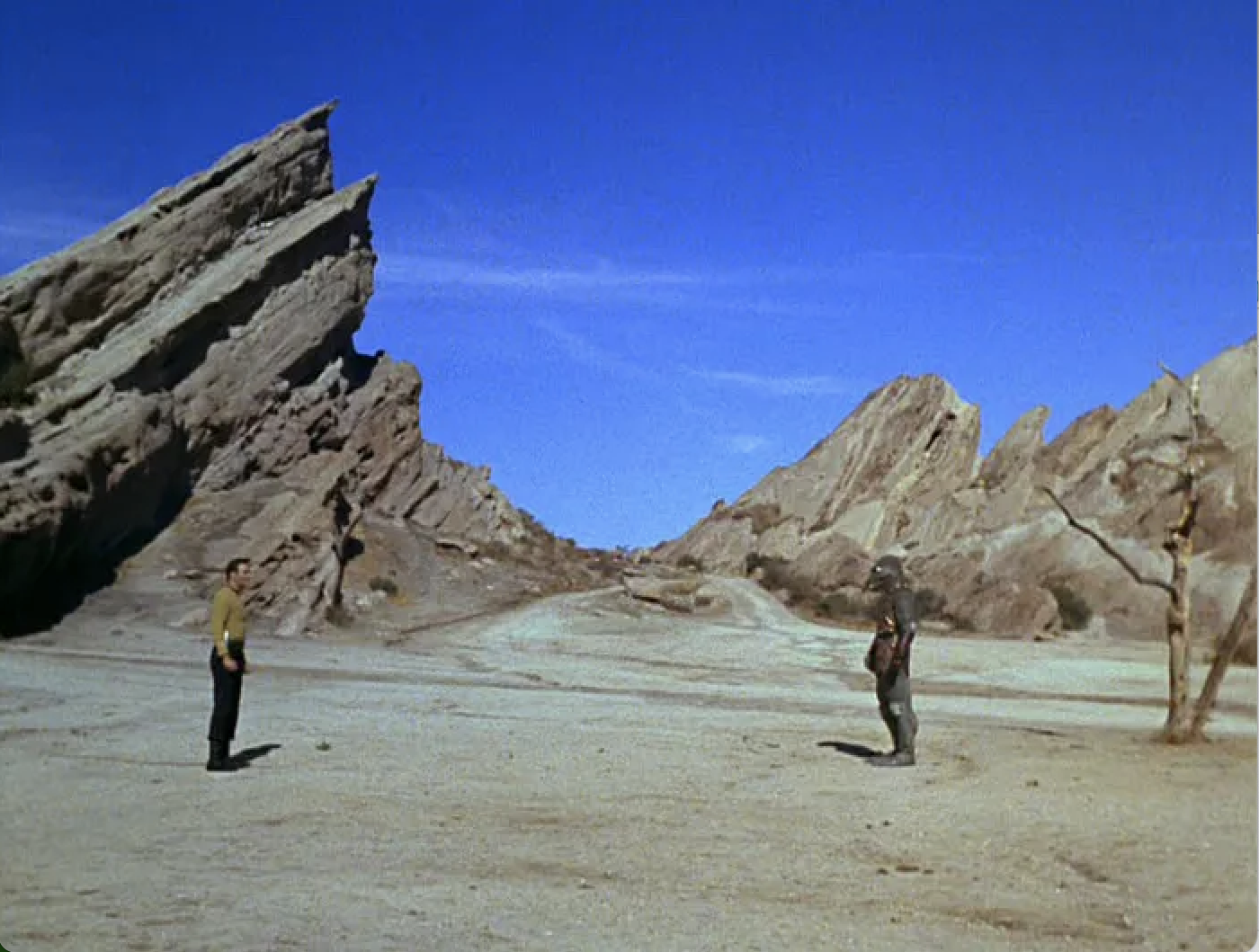
The Sierra Pelona Mountains stretch about 40 kilometers from the Antelope Valley in the east to the Santa Clarita Valley in the west. The highest peak is 1,885-meter tall Mount McDill. They are located within the Angeles National Forest. It’s home to many caves which were historically used for habitation by the Chumash and later, Tataviam. San Francisquito Canyon was part of El Camino Viejo, a route used by the Spanish, Mexicans, and Butterfield Overland Mail. The striking Vasquez Rocks have been featured in numerous films — mainly Westerns — and television series. It was here that Captain Kirk fought the Gorn. The remains of an oil town, Mentryville, are located there. On its northern edge, along the San Andreas Fault, are several small villages and sag ponds. The Ridge Route, completed in 1915, was a popular route for automobile travelers until it was bypassed by the Ridge Route Alternate (US 99) in 1930, which was itself bypassed by Interstate 5 in 1971. There are ruins of old resort hotels along the old roads — although in many case, little beyond foundations remains. In 1926, the St. Francis Dam broke, resulting in a flood that killed at least 431 people — making it the deadliest disaster in Los Angeles history. The rubble from the dam still litters the canyon below.
SIMI HILLS
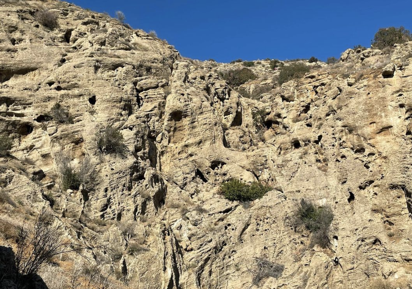
The Simi Hills are a low but rugged mountain range that extend 42 kilometers fro the Conejo Valley in the west to the Santa Susana Mountains in the east. The highest peak is 732 meter-high Simi Peak. At the eastern end of the range is the Cave of Munits, which is the setting for a Chumash legend. The village at the base, Hu’wam, was used as a trading center by the Chumash, Tataviam, and Tongva. The Burro Flats Painted Cave is one of the best known Chumash painted caves. The Santa Susana Field Laboratory, formerly known as Rocketdyne), opened in 1947 and developed into a vast complex of industrial research and development facilities. It closed in 1990.
SOUTH HILLS
The South Hills are a range of low-lying but dramatically rugged mountains located inside the San Gabriel Valley within the cities of Covina and Glendora. The highest point is a 422-meter tall summit inside South Hills Park.
THREE SISTERS
The Three Sisters is a small range of highly eroded mountains in the Mojave Desert. The three hills are 46, 55, and 88 meters tall. They are technically part of the San Gabriel Mountains but are separated by sediment infill.
VERDUGO MOUNTAINS
The Verdugo Mountains are a range of mountains that separate the San Fernando Valley to the west from the Crescenta Valley to the east. The highest summit is 953 meter-high Verdugo Peak. The mountains are home to several parks, including the Deukmejian Wilderness Park, the Stough Canyon Nature Center, and the Verdugo Mountains Open Space Preserve. The Verdugos are named after José María Verdugo, who was born in Sonora in 1751 and later was granted a 147.31 km2 ranch by the governor of the Californias. He died on 13 April 1831 but his name lives on in the mountain range, Verdugo Canyon, Verdugo City, Verdugo Hills High Schoo, Verdugo Road, Verdugo Wash, and the Verdugos region, which includes Glendale and smaller communities between the San Fernando Valley and San Gabriel Mountains.
*
SEE ALSO
The California Mountain Biking Coalition
Concerned Off-Road Bicyclists Association
Elephant Hill – El Sereno Community Land Trust
Franklin Canyon Park, Mountains Recreation & Conservation Authority
Mount Lowe Preservation Society
Mountains Recreation and Conservation Authority
Palos Verdes Peninsula Land Conservancy
Puente Hills Habitat Preservation Authority
Puente Hills Landfill Native Habitat Preservation Authority
San Gabriel Mountains Heritage Association
Santa Monica Mountains Conservancy
Santa Monica Mountains Trails Council
Santa Susana Mountain Park Association
Trail Runners Club
Support Eric Brightwell on Patreon

Eric Brightwell is an adventurer, essayist, rambler, explorer, cartographer, and guerrilla gardener who is always seeking paid writing, speaking, traveling, and art opportunities. He is not interested in generating advertorials, cranking out clickbait, or laboring away in a listicle mill “for exposure.”
Brightwell has written for Angels Walk LA, Amoeblog, Boom: A Journal of California, diaCRITICS, Hidden Los Angeles, and KCET Departures. His art has been featured by the American Institute of Architects, the Architecture & Design Museum, the Craft Contemporary, Form Follows Function, Los Angeles County Store, the book Sidewalking, Skid Row Housing Trust, and the 1650 Gallery.
Brightwell has been featured as subject and/or guest in The Los Angeles Times, VICE, Huffington Post, Los Angeles Magazine, LAist, CurbedLA, Office Hours Live, Spectrum News, Eastsider LA, Boing Boing, Los Angeles, I’m Yours, Notebook on Cities and Culture, KCRW‘s Which Way, LA?, at Emerson College, and the University of Southern California.
Brightwell is currently writing a book about Los Angeles.
You can follow him on Ameba, Duolingo, Facebook, Goodreads, iNaturalist, Instagram, Mastodon, Medium, Mubi, the StoryGraph, and Twitter.


