

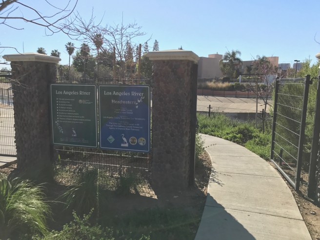
THE LOS ANGELES RIVER
The Los Angeles River begins in Canoga Park, at the confluence of … From there it flows 82 kilometers east and south into the San Pedro Bay. I decided to ride its length on my bicycle, Cream Soda. I invited anyone who wanted to join me but none came — which was probably just as well because I only ended up making it halfway and found myself frequently annoyed and thus made cranky by the lack of a contiguous bicycle trail for much of its length.

I thought that I could ride the entire length of the river, but several things conspired against me. First, I got out of bed late and was slow to get around. Then, when I arrived at the train station, I found it closed… and several after, so I ended up riding 6.3 kilometers to the Hollywood/Vine Station.
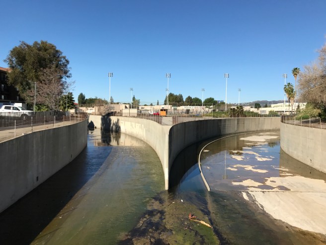
The Los Angeles River is formed by the confluence of Arroyo Calabasas (left) and Bell Creek (right). They, like most of the river, are entombed in concrete, in order to prevent flooding. Prior to its channelization, the river changed course regularly, and sometimes drastically.
Before 1825, the Los Angeles River flowed into the Santa Monica Bay, largely along the course of Ballona Creek. After 1825, it flowed into the San Pedro Bay. Bridges along the river were destroyed by floods in 1915. A series of floods devastated the city in the 1930s. The New Year’s flood of 1934 killed at least 49 people, destroyed 600 homes, and inspired Woody Guthrie to pen “Los Angeles New Year’s Flood.” 87 people were killed in the Los Angeles Flood of 1938, and afterward, the Army Corps of Engineers began the task of encasing the river’s bed and banks in concrete.
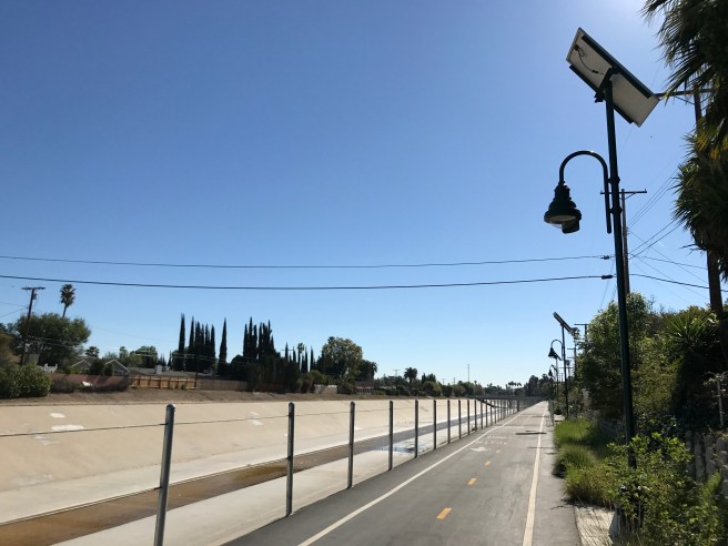
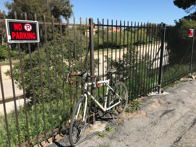
After a pleasant five kilometer stretch, the path abruptly ends in Reseda. It certainly looks walkable and cyclable but chainlink and signage prohibit it. It’s not obvious to me why, but the adventurer who dares cross the chainlink fence faces a $1,000 fine and six-month prison sentence. Seems both arbitrary and draconian, no?

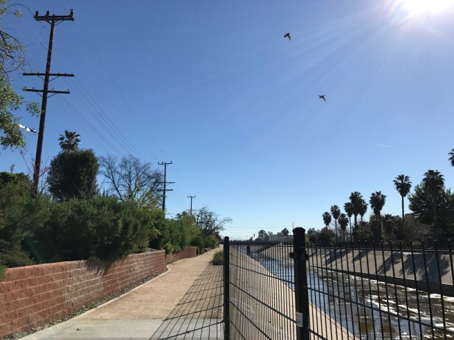
I thus headed south to Orange Line Busway Bike Path.
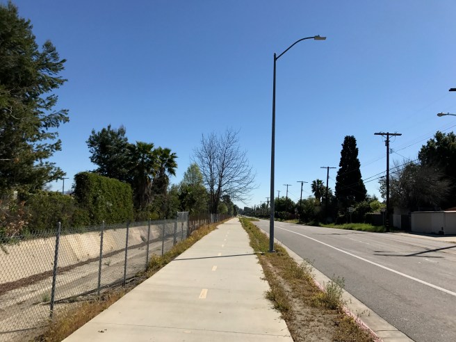
At least there’s a bicycle path along the Orange Line.
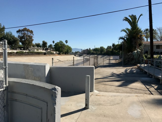
After a four kilometer stretch where traveling along the banks of the river is a criminal offense, the river path once again resumes, behind the Encino Velodrome, in theSepulveda Basin Recreation Area.
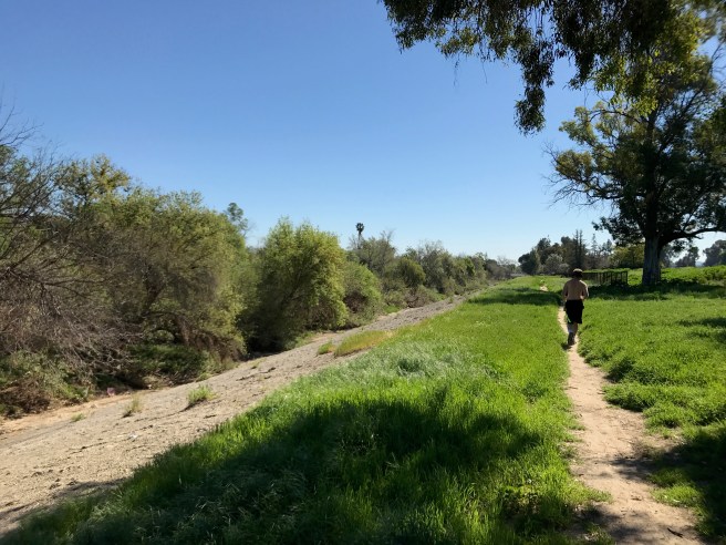
This section of the path, though, is unpaved — and so is the river and additionally unprotected by a fence, I decided to take a break and wander down into it.
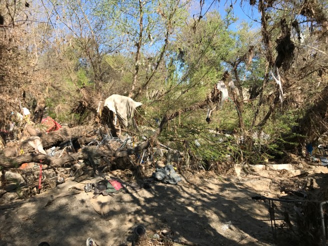
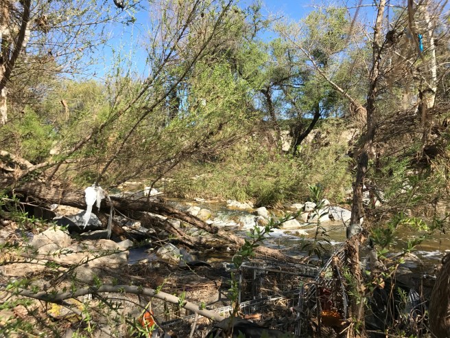
I’d decided to ride early in the year because I figured it would be more attractive having been nourished by a very rainy winter. Instead, I found most of the plants denuded by the rushing waters and strewn with a shocking amount of garbage — mostly plastic, shopping carts, and clothing, it seemed.
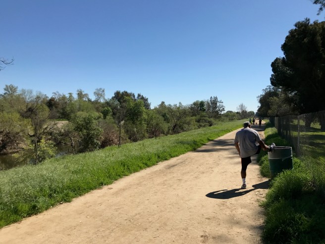
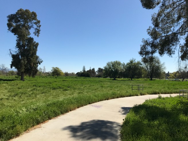
I climbed back up to the trail and continued down the dirt path.
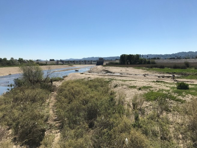
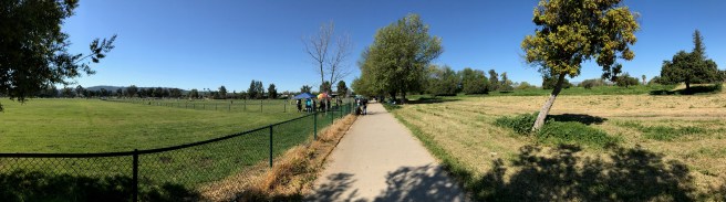
Unfortunately, the path doesn’t even extend across the width of the park and I hopped onto Burbank Boulevard. Encino Creek and Haskell Creek flow into the Los Angeles River and a bit downstream is the Sepulveda Dam. A sign once again prohibits trespassers although, as you can see, a “scofflaw cyclist” dared to ride his bicycle along the banks. Dumb as I may find these prohibitions, it’s not my intention to encourage readers to run afoul of the law and so I continued along Burbank Boulevard before turning south along Sepulveda Boulevard.
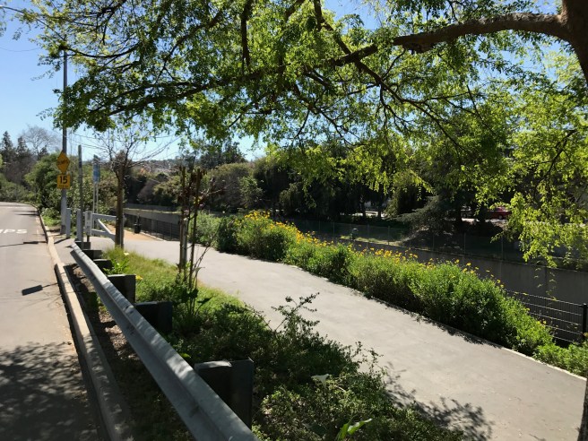
At Valleyheart Drive, I was greeted by a welcome sight, the return of the river path.
I rode along the south bank for about 800 meters and found that it came to an end at Kester Avenue, at which point I crossed the bridge to the north bank.
This section is called Ernie’s Walk. “Ernie” was Ernie La Mere, a retiree andguerrilla gardenerwho in 1987 took it upon himself to start planting flora along a stretch of the river. Guerrilla Gardening, of course, is technically illegal — but in this case, an illegal activity in which I wholeheartedly engage my readers to engage. I’ve guerrilla gardened quite a bit and on occasion, been seen doing so by police, and yet in no case have they ever hassled me for planting foliage where before there was none.
Sometimes an illegal activity like guerrilla gardening can get the ball rolling and Ernie’s Walk likely represents one of the earliest significant efforts a revitalization of the river and, in 2003, the County of Los Angeles followed Ernie’s lead and refurbished the 430-meter long stretch. What follows, however, is a three-kilometer stretch along which there’s not a path nor any guerrilla garden and so the adventurer must again depart from the river, rejoining it at Fulton Avenue.
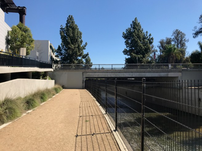
At Fulton, there’s an 880 meter long stretch of path, the South Valleyheart River Path, which includes theRichard Lillard Outdoor Classroom. Looking across the river, it looked as if the trail might continue through a tunnel underneathColdwater Canyon Avenue, so I rode back to Fulton, crossed to the north bank… and found that no such tunnel exists.
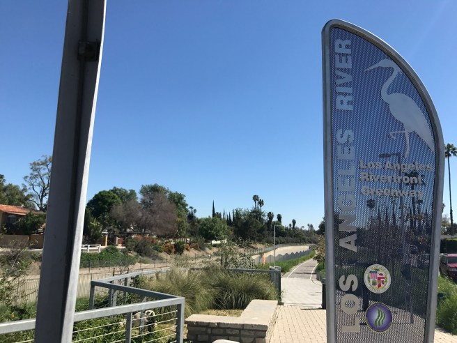
Since I rode along the river, the 870-meter-long Zev Yaroslavsky LA River Greenway has opened, named after the career politician who made his reputation tilting his lance against high-rises, subways, and other forms of progress. It runs along the north bank between the river and Weddington Golf & Tennisand ends at Whitsett Avenue.
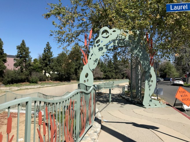
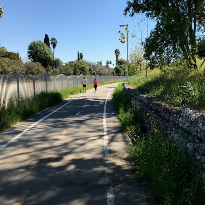
From Whitsett, the trail continues east. On the north bank, it extends only to Laurel Canyon Boulevard. On the south, it continues to Radford Avenue. With the completion of the Zev Yaraslovsky LA River Greenway, this is one of the longest unbroken stretches of the river trail. From there one has to ride on streets around the CBS Studio Center. Between Colfax Avenue and Tujunga Avenue, there’s a roughly one kilometer long, disconnected stretch of trail. I rode it and then continued down Ventura Boulevard.
After riding around CBS, I decided to grab lunch and chose Jinky’s Studio Café in part because it was next to the river. In addition to being an attentive server, my waiter was animated and bubbly in that manner that suggests he was an aspiring actor. I told him I was riding the length of the river, which he thought was insane. I started to think that maybe he was right. Whereas I’d recently ridden the longer San Gabriel River Trail, and it had taken me only a few hours, in about the same amount of time I’d yet to even make it out of the Valley. Two dozen municipalities and unincorporated communities can enjoy an unbroken and well-maintained trail along the San Gabriel River. The Valley stretch of the Los Angeles River, on the other hand, passes through about ten Valley communities — all neighborhoods of Los Angeles except for Universal City andBurbank, mind you — and yet only in Winnetka does an unbroken stretch of path traverse the width of an entire neighborhood.
Underscoring this lack of infrastructure, east of Tujunga Avenue is a nearly seven-kilometer-long stretch of the river with no path along it, and so the shortest path involves riding east on Ventura Boulevard, north on Vineland Avenue, and along some pleasantly calm side streets of Toluca Lake and Burbank before, another unpleasant stretch of Forest Lawn Drive. Finally, in Griffith Park, the path resumes near Travel Town.
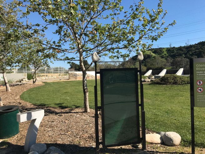
I walked Cream Soda through the Bette Davis Picnic Area before hopping on a paved pathway at the edge of Glendale. Finding out that that stretch ends at Flower Street, I rode back to Riverside Drive, crossed the river to the south bank, and continued along as the river curves south.
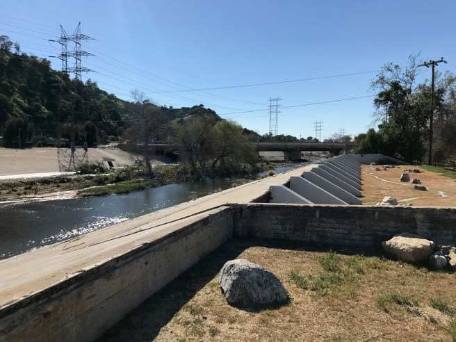
This portion of the river, like the one in the Sepulveda Recreation Area, is “soft-bottomed”; that is, it’s banks are paved but its bed is not and so there are trees. To the west is the 5 freeway.
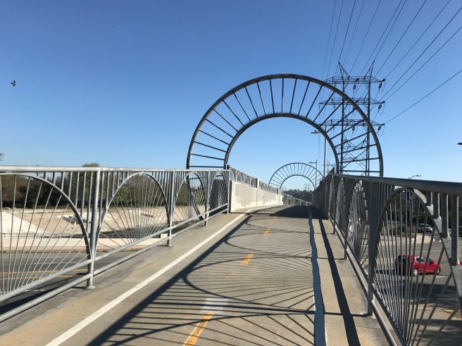
The Alex Baum Bicycle Bridge over Los Feliz Boulevard, built in 2002.
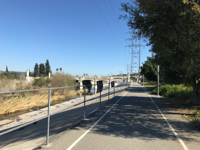
Approaching the Victory Memorial Bridge (aka the Glendale-Hyperion Bridge). After passing through, I turned up Fletcher Drive and headed home. I’d only made it about halfway down the river and so, decided I’d return another day for the second half, which is still yet to come…
To be continued!


Thanks for sharing your adventure! A lovely history and geography lesson too. Looks like fun! Wish I had been there! I especially enjoyed Ernie’s Walk.
LikeLike
Thank you! Hopefully the second leg will be a bit easier, as there’s a continuous bicycle path from downtown to Long Beach. If you undertake a similar adventure, I’ll link to it!
LikeLike
Ha! I make no such promises in my laziness! I’ve had this blog: https://foodtrek.wordpress.com/ for quite some time now and rarely post despite my many adventures. I’d like to get better at storytelling…. I suppose I should practice!
LikeLiked by 1 person
I think one of your San Gabriel Valley adventures prompted an earlier comment about using “metric system” (SI) measurements in your articles. If you’re writing for a largely foreign “target public” that makes sense, but most of us Yanks stubbornly stick to traditional units, even if the rest of the world probably thinks we’re weird and/or backward. Even our sports tend to reinforce the old-school measurements: The yard is the fundamental unit of US football, the players’ weights are stated in pounds, basepaths at the ball park are 90 feet long, and basketball players are measured in feet and inches.
LikeLike