

The other day I found myself visiting the northernmost corner of South Central on business. When I was done I decided not to hop on the next bus home, but rather to walk for at least a little bit. The rest of my day was wide open and it was pleasantly warm and sunny. I began by heading north along Broadway; when I got to Washington, I crossed the tracks of the Blue Line.
In the early 20th century the South Central neighborhood was sometimes characterized as the “Harlem of the West.” In 1964 the stretch of the 10 Freeway that separates South Los Angeles from Central Los Angeles was completed, and “South Central” became coded shorthand for “any black neighborhood south of the 10.” Nowadays, as with most of Los Angeles, the population of South Central is mostly Latino, although the Central Avenue Jazz Festival serves as an annual celebration of the the street’s former character and rich history.
Continuing along Broadway under the 10 freeway, I entered the South Park neighborhood of Downtown – home of the Staples Center and LA Live – which the city seems to hope will develop into some kind of SoCal Vegas. Oddly, there’s already an older neighborhood in neighboring South Los Angeles called South Park. Although some have attempted to extend what has been traditionally thought of as downtown south into University Park and Exposition Park, the 10 is apparently a barrier enough that no one involved in the naming of (new) South Park had heard of nearby (old) South Park. It’s ironic that the very freeways designed to connect far flung communities also have the effect of separating and sometimes even erasing neighboring ones.
Around Eighth Street the sidewalks begin to fill up considerably and the ethnic complex diversifies — there are many Asians and Caucasians, whereas to the south it was almost exclusively black and Latino. Traveling north, I passed Pershing Square on the left. The park was dedicated in the mid-1800s and has gone through significant and hideous redesigns. In the 1990s the city spent millions of dollars for some large, very early-’90s looking public art, including a monolithic purple tower, the parks unfortunate centerpiece.
A little further north, I weighed whether or not to take the Angels Flight up the steep side of Bunker Hill. But decided to keep walking instead and take one of many tunnels that cut underneath the hill.
While the Second Street Tunnel gleams with white tiles and is undoubtedly one of Los Angeles’s most-filmed locations — on average appearing in-two new car commercials per month — the Third Street Tunnel, on the other hand, is older and will never likely be used to shill any product. It’s dim — it feels like it’s lit with gas lights or Edison bulbs. It’s dank — water continually runs down its walls; mineral deposits are well on their way to forming stalactites. Although a mid-day sneak attack from Jack the Ripper is unlikely to happen there, I reached into my pocket and caressed my knife for comfort. I also kept an eye on the manholes lest a C.H.U.D. attempt to drag me into the underworld. In the end, the only real threat came from three separate bicyclists who rode on the sidewalk and all barked at me to get out of their way.
After I emerged from the tunnel I turned left on Second Street and passed under another freeway, the 110, leaving downtown and entering the Temple-Beaudry neighborhood. As with developers’ efforts to extend the definition of downtown into South Los Angeles, some have advanced the concept of “Central City West” to the Westlake area. Others refer to the area west of the freeway as “The New Jersey of Downtown.” To others it’s “Little Central America.”
Along a bleak stretch of Beaudry, cross-street rivals Canvas L.A. and the Edward Roybal Learning Center, both built in the Smog Check Revival style, compete in the “Los Angeles’s Ugliest Buildings” sweepstakes. Both are trumped by the bandage-colored apartments situated atop a paved and graffiti-scarred hillside that I refer to as the Angeleno Heights Favela. They sit just outside the Angeleno Heights Preservation Overlay Zone which includes rows of beautiful Victorian and Craftsman homes.
Along Sunset apparent signs of gentrification abound. New vegan restaurants have recently opened on both sides of a street formerly lined with mostly unremarkable Mexican restaurants. Costa Alegre advertises a new vegetarian menu on a vinyl banner (and sign of the times). At a curve in the road known as Mohawk Bend (and now a restaurant of the same name), was Gentlemen’s Breakfast, a boutique men’s shop where an optician named Konstantin was talking to someone on the phone, who apparently was trying to recruit him for a drum circle.
Heading toward Silver Lake along Sunset Boulevard, one passes through “The Cut,” a sandstone hill carved out in the 1880s by the Ostrich Farm Railway to bring visitors from downtown to the ostrich farm in Griffith Park. Ostrich farms were apparently quite popular back then; Lincoln Heights and South Pasadena also had them. Now the hill is more recognized for the murals painted by a Guatemalteco artist who goes by “Cache,” whose favorite birds are apparently ostriches’ distant flightless relatives: chickens.
Upon arriving at the loose border of Silver Lake, one is greeted by the iconic “Happy Foot/Sad Foot” sign — a rotating sign advertising a foot clinic that alternately shows a cheerful, anthropomorphized foot and, on the other side, a bandaged foot that walks with the aid of crutches. It’s such an icon that it’s been alluded to in a David Foster Wallace novel and an Eels song, and sometimes the area is even referred to as “HaFo SaFo.”
When I arrived home and plugged in my phone, which had died long ago, there was a text from my neighbor/Thai-teacher/pingpong competitor asking if I wanted to go for a walk. I declined as my feet were more on the sad side than happy.
*****
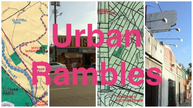
Eric Brightwell is an adventurer, writer, rambler, explorer, cartographer, and guerrilla gardener who is always seeking writing, speaking, traveling, and art opportunities. He is not interested in writing advertorials, clickbait, listicles, or other 21st century variations of spam. Brightwell’s written work has appeared in Amoeblog, diaCRITICS, and KCET Departures. His work has been featured by the American Institute of Architects, the Architecture & Design Museum, the Craft & Folk Art Museum, Form Follows Function, Los Angeles County Store, Skid Row Housing Trust, and 1650 Gallery. Brightwell has been featured in the Los Angeles Times, Huffington Post, Los Angeles Magazine, LAist, Eastsider LA, Boing Boing, Los Angeles, I’m Yours, and on Notebook on Cities and Culture. He has been a guest speaker on KCRW‘s Which Way, LA? and at Emerson College. Art prints of his maps are available from 1650 Gallery and on other products from Cal31. He is currently writing a book about Los Angeles and you can follow him on Facebook, Instagram, and Twitter.
Click here to offer financial support and thank you!

