

RUNNING UP THAT HILL — MONTEREY HILLS
In Los Angeles, the Monterey Hills can refer to more than one thing. One is a landform known as the Monterey Hills that is technically part of the Repetto Hills, a chain of hills that runs from between the San Rafael Hills and Elysian Park Hills at one end to the Whittier Narrows at the other (and in doing so form one of the borders of the San Gabriel Valley). The hills are especially associated with the city of Monterey Park and there’s a subdivision of that community that’s also called Monterey Hills.
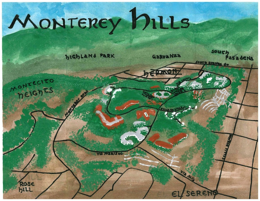
Pendersleigh & Sons Cartography‘s map of Monterey Hills, available in art prints of various sizes and on a variety of merchandise
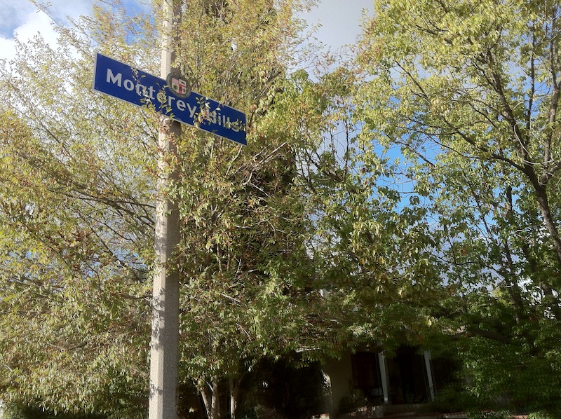
Another Monterey Hills refers to a small residential neighborhood between El Sereno, Hermon, Montecito Heights, Rose Hill, and South Pasadena. I recently explored that neighborhood with Dooley (a dog) whilst house, dog, and cat-sitting in El Sereno. During my stint on the Eastside, Dooley and I visited all the aforementioned communities and additionally explored Arroyo View Estates, East Los Angeles, City Terrace, Garvanza, Happy Valley, Highland Park, Hillside Village, Lincoln Heights, and University Hills. Our first excursion was of Monterey Hills on a cool, clear day that followed a light, overnight rain.
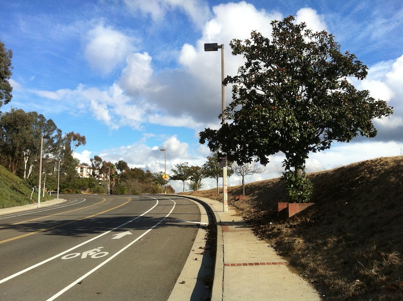
We approached Monterey Hills via Monterey Road, which runs along the western edge of the neighborhood. We then entered the neighborhood via Via Marisol – a ridiculously wide (even on a road diet) street that’s an extension of what was formerly Hermon Avenue. Hermon Avenue was renamed Via Marisol in 1978, when then-Councilman Arthur Snyder renamed it, attempting to pander to his mostly Latino constituency by explaining that allowing a street to continue to be named “Hermon” in a neighborhood traversed mostly by Spanish-named avenues would have a “jarring influence” on the residents. That the councilman had a then three-year-old daughter named Erin-Marisol Snyder was surely a happy coincidence.
EARLY HISTORY OF THE AREA
At least as early as 13,000 years ago people were living in Southern California — most likely the ancesters of the Chumash. The ancestors of the Tongva arrived from the Sonoran Desert much later — only about 3,500 years ago. After that, they were the dominant people in the area for thousands of years and the Monterey Hills area lay between their villages of Hahamongna to the north, Otsungna to the southeast, and Yaangna to the southwest.
The Tongva reign ended shortly after Spaniard Gaspar de Portolà‘s overland expedition passed through the area in 1769, setting the stage for conquest. The Spanish first constructed Mission San Gabriel Arcángel in Whittier Narrows in 1771. In 1776 the mission was moved to its present location in San Gabriel, nine-and-a-half kilometers east of what’s now Monterey Hills. A few years later, in 1781, El Pueblo de Nuestra Señora la Reina de los Ángeles de la Porciúncula was founded eight-and-a-half kilometers to the southwest.
The area that became Monterey Hills was located just outside the four Spanish leagues given to the pueblo and was on Mission lands but Spanish rule ended in 1821 when Mexico gained independence and subsequently secularized the church’s holdings. Mexico’s rule would prove even shorter than Spain’s and ended in 1848 when California was conquered by the US. In 1850, California entered the union, and Los Angeles was incorporated as a city.
The land containing what would become Monterey Hills was subdivided in 1902 along a grid system that ignored the hills’ steep topography. The area was annexed by the City of Los Angeles on 9 February 1912, as part of the Arroyo Seco Addition. The three hills that now make up the Monterey Hills neighborhood remained mostly empty for the decades that followed largely because the gridded street and lot patterns made the development of streets and installation of utilities rather difficult. Nonetheless, there were a few residents and structures in the 1960s, when the idea for the Monterey Hills Development Project was first dreamed up by the Community Redevelopment Agency (CRA).
The Monterey Hills Redevelopment Project was adopted by Los Angeles City Council in 1971. The idea was to slap a master-planned community on top of three of the Repetto Hills. To deal with the forbidding terrain, the developers brought in engineering and geological consultants who assured them they need only remove soil from the hills and dump it into the canyons. Once the dust — and hopefully landfills — had settled, large condominiums and townhomes could be built that would be affordable to middle and working class first time home buyers drawn to the development by its proximity to the Arroyo Seco Parkway and thus to Downtown Los Angeles.
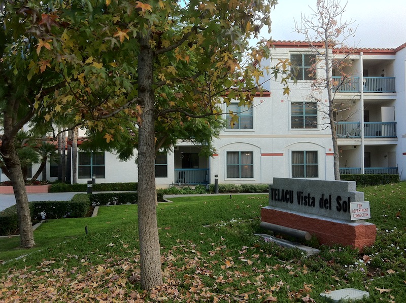
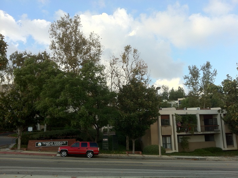
Construction began in 1973 and over the years that followed, 21 residential complexes were ultimately built which together contain a total of 1,781 units. The complexes include Austin Terrace, Bradley Court, Cabrillo Villas, Catalina Terrace, Chadwick Terrace, Chapman Townhouses, Drake Terrace, Eaton Crest, Fremont Villas, Harte Terrace, Hudson Terrace, Huntington Terrace, Linden Heights, Marshall Villas, Muir Terrace, Portola Terrace, Stanford Terrace, Temple Terrace, Vallejo Villas, and Wilson Summit [I seem to be missing one]. I was pleasantly surprised to find that not one of them has been rebranded in that silly, trite “The such-and-such at so-and-so” manner (i.e. Fremont Villas have escaped being renamed “The Villas at Fremont”).
Problems with some of the complexes began to arise in the 1980s, however, when the experimental landfills that they were built upon continued to settle, bringing some of the residential complexes with them and creating significant structural damages in the process. Understandably incensed, the homeowners banded together and instigated the longest civil jury trial in Los Angeles County history.
At the end of the trial, $21,634,466 were awarded in damages, and the fund created with the money is still used to remedy damages. Since the end of the trail, only the sixteen-unit Bradley Court townhouses have been constructed in the neighborhood. However, Monterey Hills Investors proposed a similar development — albeit one targeting wealthy homebuyers — in the adjacent Elephant Hills of El Sereno in 1984. In 2009, however, the city took control of the land and decided to preserve it as open space.
DEMOGRAPHICS
The ethnic breakdown of Monterey Hills, according to information gleaned from City Data, is roughly 36% Asian-American, 34% non-Latino white, 24% non-white Latino, and 10% black.
GETTING THERE AND AROUND
Dooley and I walked to Monterey Hills from El Sereno. Monterey Hills isn’t particularly well served by public transit. Only Metro‘s 256 line accesses the area. The route winds along Collis Avenue and Avenue 60 near the neighborhood’s edges. Although it’s been on the chopping block before due to low ridership, the 256 has its share of fans — mostly due to the fact that its route manages to visit Altadena, City Terrace, Commerce, East Los Angeles, El Sereno, Hermon, Highland Park, Pasadena, and University Hills.
Although hilly, the neighborhood is small and both easily walkable and bikeable for the able-bodied. Presumably, its relatively low walk score (28) on Walkscore is due to the fact that getting coffee, picking up groceries, eating out, shopping, and enjoying most forms of entertainment all require leaving the neighborhood (although walking to both El Sereno and Hermon where those things can be found is quite easy). Its transit score is 23 and its bike score is only 11.
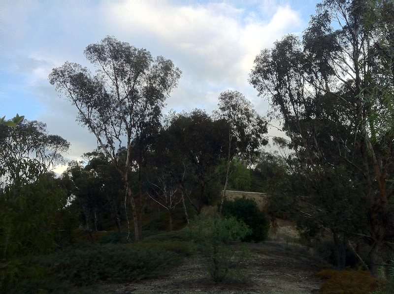
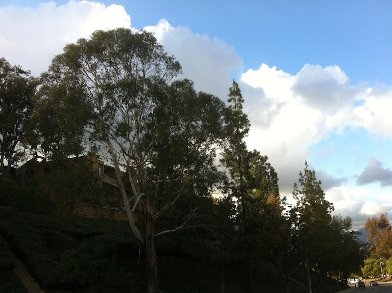
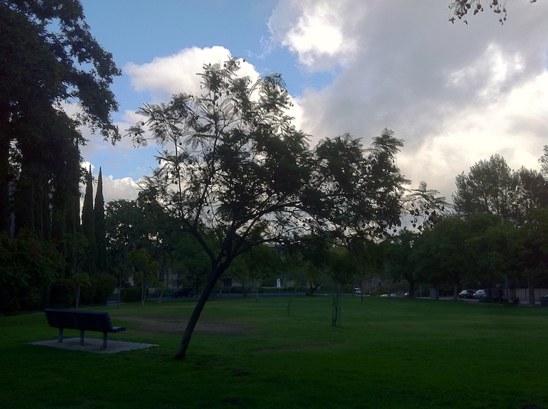
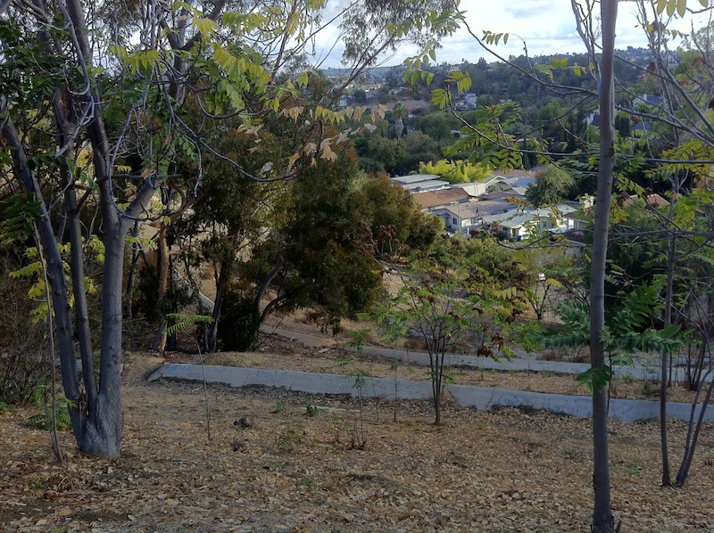
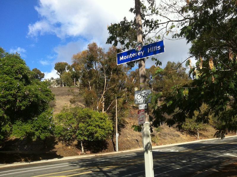
There’s little if any native vegetation in Monterey Hills. Most of it was grazed out of existence during the Spanish era and today most of the landscape architecture is pretty inconspicuous. The hilltops are covered with groves of eucalyptus that have a certain allure and the leaves of some of the trees were changing color — which is apparently one of the only ways that some people raised in temperate climates can recognize the arrival of autumn.
Via Marisol is lined with magnolia trees. Sometimes a seed pod would fall from one, shattering the silence and startling both Dooley and me. The crisp air smelled wonderful, carrying as it did, the mixed scent of eucalyptus and walnuts. All around us we could hear the cawing of crows, the cooing of morning doves, and the calls of various other birds — in stark contrast to the neighborhoods beneath it, which are generally dominated by a Cain-raising canine cacophony.
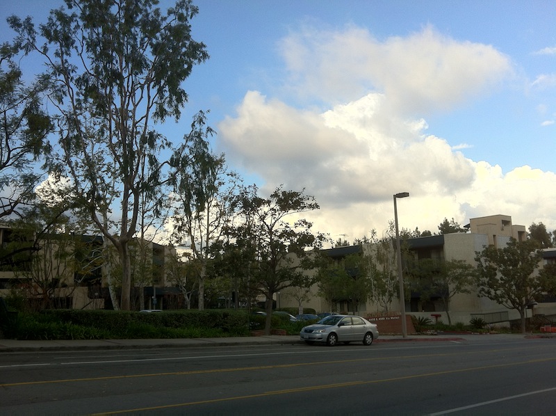
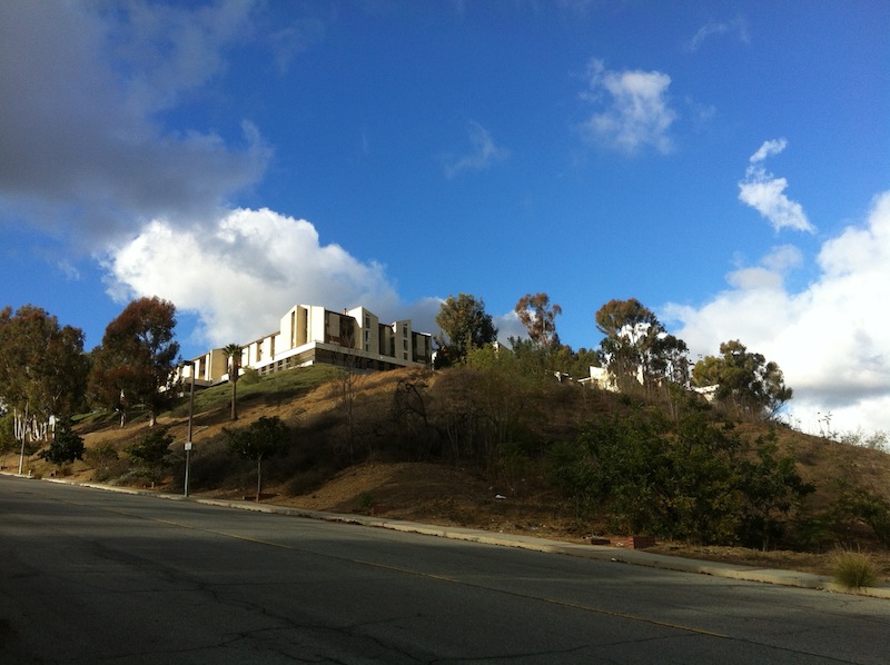
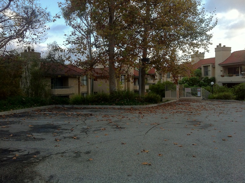
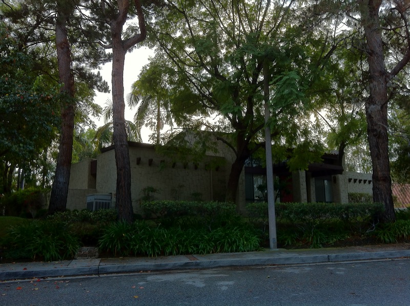
In my research I had read that each of Monterey Hills’ large residential complexes were built in what were supposed to be a variety of styles and judging from the directories, their layouts vary. Yet somehow all of them are variations on a particular sort of residential architecture that I’m still struggling to make peace with. Regardless of their variations, to me they invariably all resemble business parks or newish college campuses, and — encountering almost no one in our walk — it felt a bit like exploring those after business hours or during a long break.
In the course of our constitutional, Dooley and I did encounter a few women and men strolling — walking with weights or dogs, or jogging without either — but the overall lack of people and the heavy autumnal ambiance gave the neighborhood a forlorn air, although I don’t necessarily mean that in a bad way. Everything has its unique charm and almost before I realized it I found myself quietly singing “The Power” by Suede, a band who along with several of their early ’90s contemporaries (e.g. The Auteurs, Blur, Denim, Pulp) famously celebrated (or at least expertly chronicled) the discreet charms of suburban life and the great indoors.
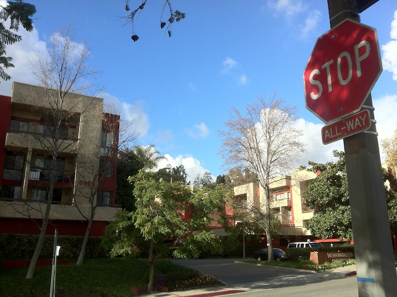
Monterey Hills’ near complete rejection of public space is part of the master-community plan, which includes no theaters, no art centers, no community gardens, no restaurants, no shops, no cinemas, and no houses of worship. The original development plan contained four categories: “Residential,” “Residential/Alternate Hillside Preserve,” “Residential/Alternate Institutional,” and “Residential/Alternate Commercial.”
The “alternate commercial” area was the proposed site of a 7-Eleven but residents successfully fought against that and it became the neighborhood’s only park. One of the “Alternate Institutional” areas was developed with homes. The other is home of the Los Angeles International Charter High School — formerly the site of Pacific Christian High School — a site more often associated with the Hermon neighborhood than “The Hill” (as Monterey Hills is nicknamed). There are shared private spaces in the form of designated seating areas, swimming pools, and tennis courts — all of which were invariably empty — as were the guest parking lots.
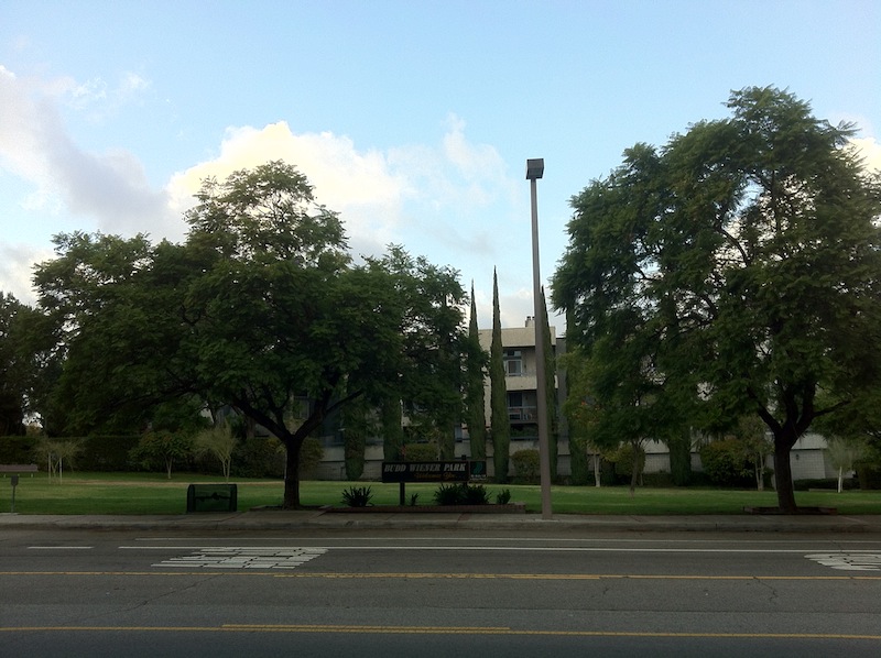
BUDD WIENER PARK
As Monterey Hills’ only official public space (unless one counts the sidewalks), Budd Wiener Park not surprisingly hosts the neighborhood’s official community activities. The best-known event that takes place there is the Monterey Hills Jazz Festival has taken place since 1993. In the past, it’s featured performers including the Angie Whitney Group, BluesMen, Bobbie Rodriguez and the HMA Orchestra, City Beat, Jimmy McConnell, Lori Andrews JazzHarp Quartet, Luis Conte, Nocy, the Pasadena Jazz Institute Youth All Stars, the Ron McCurdy Collective, and the Susie Hansen Latin Band, among others.
Budd Wiener has also hosted Movies in the Park, in which family-friendly fare is screened outdoors. When there aren’t organized events taking place in the park, it’s not exactly the most inviting place. There are no pedestal grills, no jungle gyms, no spring riders, no basketball courts… just a couple of empty benches and a poop bag dispenser or receptacle (I can’t remember which — maybe it’s both).
COUNTERPUBLICS
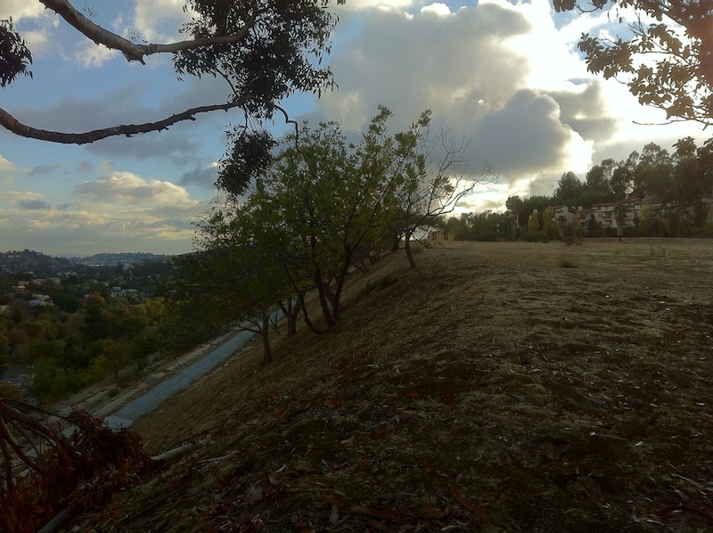
Monterey Hills is blessed with quite a bit of mostly undeveloped space as well. It’s separated from Hermon below by a steep, woody hillside. The hillside separating Monterey Hills from El Sereno (an “alternate hillside preserve”) is less steep but terraced and lined with anti-erosion drainage ditches and a chain link fence. The earthen slope appears to have been built up considerably, almost as if it’s meant to serve as a defensive wall to protect this modern Masada in the unlikely event of a siege.
Some of the concrete ditches are heavily tagged. If I’m correct that the goal of tagging is to place one’s handiwork in highly visible yet inaccessible places then spraying one’s tag on the bottom of easily accessed and little-seen ditches must be the equivalent of mere scent marking.
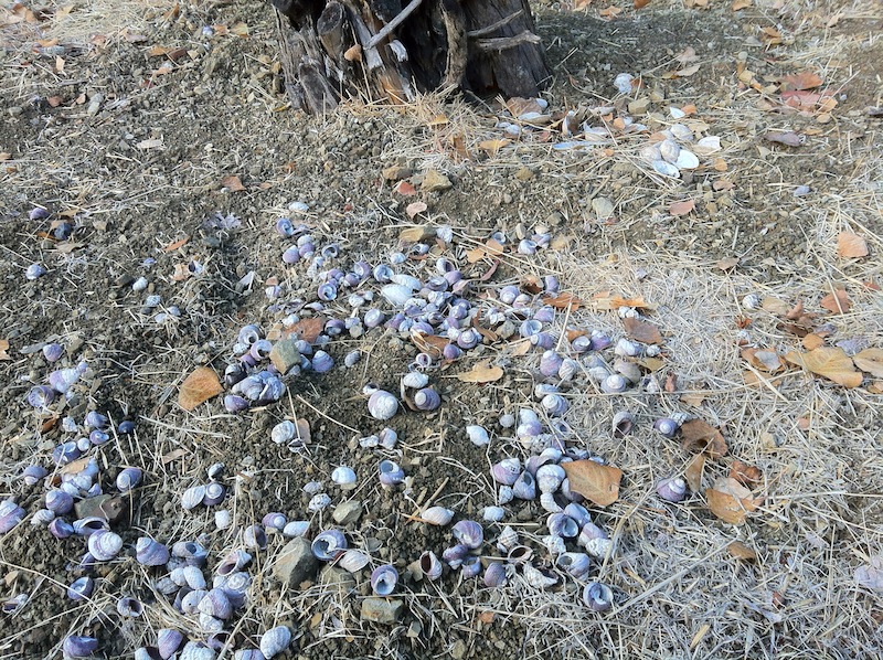
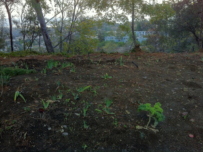
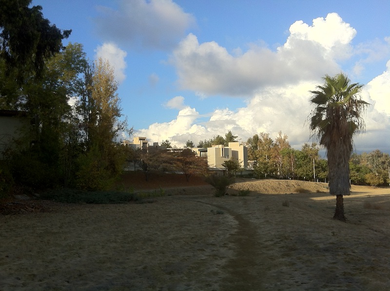
There’s also a large open area next to Fremont Villa that seems to serve as an unofficial park… or possibly dog park as it was the one spot in the otherwise decidedly clean neighborhood that was littered with dog defecation, garbage, and more. Dooley and I walked a well-worn trail and encountered signs of a small fire (or at least a burned log). The area affords a spectacular view and an empty case of Bud Light, an empty box of Patron, an empty case of Modelo Especial, and an empty case of something called Straw-ber-ita suggest that it’s a popular site to do some outdoor drinking, relaxing — and sadly, littering. There was also the expected litter from Del Taco and McDonald’s. More surprising was a midden where the shells of various animals seemed to have been dumped.
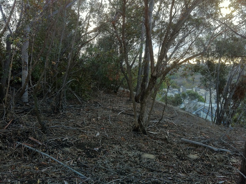
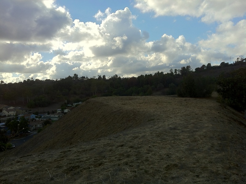
Feeling a bit confined I decided to ignore the clearly-posted prohibitions against trespassing and scale the tallest hill in the neighborhood. Perhaps it’s officially known as Wilson Summit as that’s the name of both a condo and street on it. In my imagination, however, it felt like I’d scaled Weathertop (or “Amon Sûl” as it’s known in Sindarin).
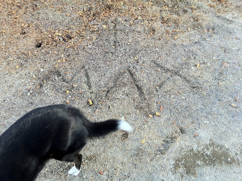
After catching my breath I found that I was not the first Rudi Matt to bound up that barrow. Although a faded Hello Kitty ribbon was possibly carried to the hilltop grove of trees by a nearby and deflated mylar balloon, there was also a 20 oz glass Pepsi bottle (c. 1990) and a single tennis shoe, both of which were presumably carried there by fellow explorers. The abandoned footwear, Dooley’s continued interest in sniffing underneath concrete ditch covers, and the darkening skies found me changing my tune, suddenly humming songs from the moody movie Memories of Murder (살인의 추억). Thankfully Dooley and I didn’t find any dead bodies but after a bit more exploration I decided that Dooley and I should head back down the hill to the street.
Back in the neighborhood, we encountered a couple more people out for their perambulations but most seemed to be safely indoors. We did spy some younger people towards the end of our visit. Two girls sat in a parked car — both on their smartphones. Not long after, a group of school kids jogged up the sidewalk along Via Marisol as Dooley and I made our way back toward El Sereno. One said, “I like your dog” which seemed to signal to Dooley that it was time to cheerfully gallop the rest of the way to Monterey Road — pulling me along with her.
The distinction between Monterey Hills and El Sereno below felt more pronounced upon our return. On every curb Dooley and I seemed to pass discarded, rain-soaked furniture, enraged dogs, and people apparently walking to or from somewhere (rather than speed walking in loops). Banda music blasted at a deafening level from a passing Chevy Tahoe, a brood of chickens and a rooster scratched at the street, ice cream trucks played their century-old rags, and there was a freshly-painted placa on the wall of the home in which I was staying.
To vote for other Southern California communities to be the subject of future episodes of California Fool’s Gold, let me know which in the comments.
Support Eric Brightwell on Patreon

Eric Brightwell is an adventurer, essayist, rambler, explorer, cartographer, and guerrilla gardener who is always seeking paid writing, speaking, traveling, and art opportunities. He is not interested in generating advertorials, cranking out clickbait, or laboring away in a listicle mill “for exposure.”
Brightwell has written for Angels Walk LA, Amoeblog, Boom: A Journal of California, diaCRITICS, Hidden Los Angeles, and KCET Departures. His art has been featured by the American Institute of Architects, the Architecture & Design Museum, the Craft Contemporary, Form Follows Function, Los Angeles County Store, the book Sidewalking, Skid Row Housing Trust, and 1650 Gallery.
Brightwell has been featured as subject in The Los Angeles Times, VICE, Huffington Post, Los Angeles Magazine, LAist, CurbedLA, Spectrum News, Eastsider LA, Boing Boing, Los Angeles, I’m Yours, and on Notebook on Cities and Culture.
Brightwell has been a guest speaker on KCRW‘s Which Way, LA?, at Emerson College, and the University of Southern California.
Brightwell is currently writing a book about Los Angeles.
You can follow him on Ameba, Duolingo, Facebook, Goodreads, iNaturalist, Instagram, Mastodon, Medium, Mubi, the StoryGraph, and Twitter.


Lol the shopping cart under the tree at Muir terrace is still here in 2020.
Now with a small pot in it
LikeLike
Really? After seven years (maybe more) I reckon it’s historic!
LikeLike
Elephant Hills LOCATED AND NOW A GATED COMMUNITY (KINGFORD of El Sereno in 1984.) WHICH IS ACTUALLY GARVEY RACH PARK In 2009, however, the city took control of the land and decided to preserve it as open space. MAIL clear-maxax-chandeliers-mx16004-c-64_1000
DEMOGRAPHICS
The ethnic breakdown of Monterey PARK Hills, SIGN “HOLLYWOOD AND ROSEHILLS” signs according to information gleaned from CIRCUIT City Data, is roughly 36% Asian-American, 34% non-Latino white, 24% non-white Latino, and 10% black.
(SAPedro los angeles not DOWNTOWN L.A. although in downtown you are able to jump on: Line 910-950 https://www.metro.net/riding/guide/j-line/)
Dooley and I walked to Monterey Hills BABYDOLES (YORK from El Sereno. KINGFORD)GRAVES AND GRAVEY RANCH PARK Monterey Hills isn’t particularly ACCURATE WHILE COORDINATES ARE CONTINIOULY CHANGED DUE TO AN IMPROPER FRACTION STILL WORKING ON IT well served by TOUR BUSES public transit. Only Metro‘s 256 line accesses the area. The route winds along Collis Avenue and Avenue 60 near the neighborhood’s edges. Although it’s been on the chopping block before due to low ridership, the 256 has its share of fans — mostly due to the fact that its route manages to visit Altadena, product-image-1996408148_d87a03f4-0a96-43f4-819f-4b514b13642d_800xCity Terrace, Commerce, East Los Angeles,s-l1600, El Sereno, Hermon, Highland Park, Pasadena, and University Hills.
LikeLike